Bel Alton in Charles County, Maryland — The American Northeast (Mid-Atlantic)
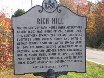
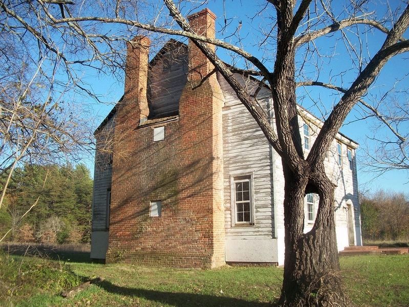
Rich Hill
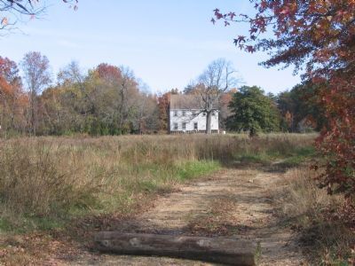
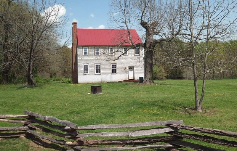
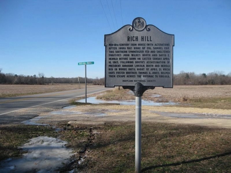
Mid-18th century farm house (with alterations after 1800) was home of Col. Samuel Cox. This southern sympathizer fed and sheltered fugitives John Wilkes Booth and David E. Herold before dawn on Easter Sunday, April 16, 1865 following Booth's assassination of President Abraham Lincoln. Booth and Herold hid in woods until night of April 21, when Cox's foster brother, Thomas A. Jones, helped them escape across the Potomac to Virginia.
Erected by Maryland Historical Society.
Topics and series. This historical marker is listed in these topic lists: Notable Events • War, US Civil. In addition, it is included in the Booth's Escape, and the Former U.S. Presidents: #16 Abraham Lincoln series lists. A significant historical date for this entry is April 16, 1854.
Location. 38° 28.225′ N, 76° 57.984′ W. Marker is in Bel Alton, Maryland, in Charles County. Marker is on Bel Alton Newtown Road, on the left when traveling east. Touch for map. Marker is in this post office area: Bel Alton MD 20611, United States of America. Touch for directions.
Other nearby markers. At least 8 other markers are within 2 miles of this marker, measured as the crow flies. A different marker also named Rich Hill (about 300 feet away, measured in a direct line); Rich Hill Through the Years (about 300 feet away); Rich Hill Farm in the 19th Century: Samuel Cox and his Award-Winning Farm (about 400 feet away); Archaeology Provides a Key to the History of Rich Hill (about 400 feet away); Rich Hill Farm in the 20th Century (about 400 feet away); John Wilkes Booth and David Herold (approx. 1.2 miles away); Pine Thicket (approx. 1.2 miles away); John Wilkes Booth (approx. 1.3 miles away). Touch for a list and map of all markers in Bel Alton.
Also see . . .
1. Booth's Escape Byway. Maryland Office of Tourism website entry (Submitted on January 16, 2019.)
2. Rich Hill: Maryland's National Register Properties. (Submitted on January 16, 2019.)
Additional keywords. Booth, Lincoln, manhunt, assassination John Wilkes Booth Escape Route
Credits. This page was last revised on October 8, 2023. It was originally submitted on January 1, 2008, by Alvin Brockway of Burke, Virginia. This page has been viewed 3,216 times since then and 165 times this year. Photos: 1, 2. submitted on January 1, 2008, by Alvin Brockway of Burke, Virginia. 3. submitted on August 27, 2018, by Christopher J Shelton of Indianapolis, Indiana. 4, 5. submitted on January 23, 2019. • Craig Swain was the editor who published this page.
