Rocky Mount in Nash County, North Carolina — The American South (South Atlantic)
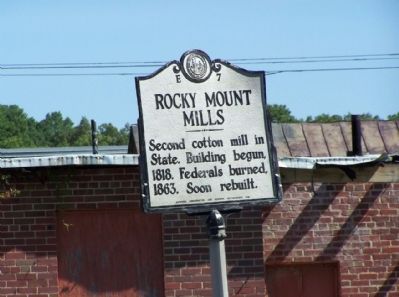
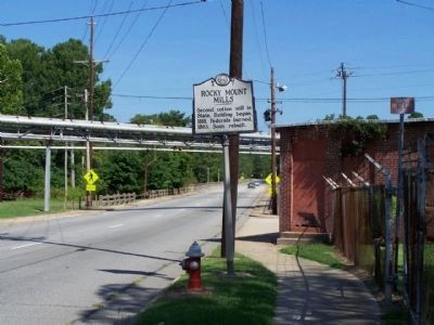
Rocky Mount Mills
Erected 1937 by North Carolina Office of Archives & History. (Marker Number E-7.)
Topics and series. This historical marker is listed in these topic lists: Industry & Commerce • War, US Civil. In addition, it is included in the North Carolina Division of Archives and History series list. A significant historical year for this entry is 1818.
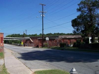
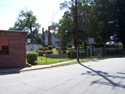
Location. 35° 57.546′ N, 77° 48.18′ W. Marker is in Rocky Mount, North Carolina, in Nash County. Marker is on Falls Road (State Highway 43/48), on the right when traveling north. Located on the south side of the Tar River bridge. Touch for map. Marker is at or near this postal address: 1151 Falls Road, Rocky Mount NC 27804, United States of America. Touch for directions.
Other nearby markers. At least 8 other markers are within walking distance of this marker. Rocky Mount Mills School (about 400 feet away, measured in a direct line); Falls Road Bridge (approx. 0.2 miles away); Lafayette (approx. 0.2 miles away); Donaldson's Tavern (approx. 0.2 miles away); First Post Office of Rocky Mount (approx. 0.3 miles away); Falls of the Tar Church (approx. half a mile away); Operation Dixie (approx. 0.9 miles away); Jim Thorpe (approx. 0.9 miles away). Touch for a list and map of all markers in Rocky Mount.
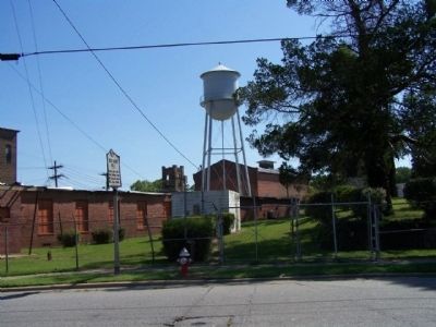
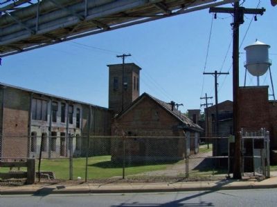
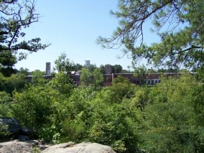
Regarding Rocky Mount Mills. Rocky Mount Mills, the second cotton mill in North Carolina (after the Schenck-Warlick Mill in Lincoln County), was built in 1818 on a 20-acre tract of land at the falls of the Tar River (in then part of Edgecombe County). The mills were operated initially by Joel Battle and two partners, but by 1825 Battle was the sole proprietor. When Joel Battle died in 1829, his son William took over the operation of the mills. Built from local granite, the facility was three stories plus a basement; within the building, the Battles operated both cotton and grist mills.
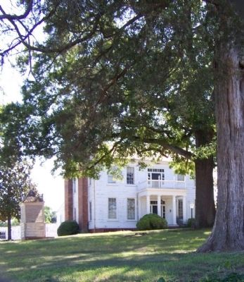
Slaves and a few free African Americans supplied the labor at Rocky Mount Mills from the earliest days until about 1852, when the Battles began to substitute white workers, many of whom were women and children. By that time local slaveowners were less inclined to hire their slaves out for factory work and local white men found the work “humiliating.” Eventually becoming a more desirable place of employment, a village of “neat white cottages” for factory workers grew up in the vicinity of the mill.
A large industrial complex, Rocky Mount Mills was raided by Brigadier General Edward E. Potter’s Union cavalry on July 20, 1863. The mills, outbuildings, cotton, and yarn were destroyed by fire. William Battle rebuilt Rocky Mount Mills on the original foundation between 1866 and 1867. The new brick building,
four stories with a basement, burned in 1869. Battle again rebuilt the mills. During the height of its nineteenth century production, the cotton mills, with about 50 employees, could process about 700 pounds of raw cotton per day.
In 1883 financial difficulties led William Battle to relinquish control of the mill. Thomas A. Battle, great-grandson of Joel Battle, was secretary to the mill’s new board of trustees. He eventually became president and the mills thrived under his leadership. Battle constructed additional buildings in 1889 and 1894. When Rocky Mount Mills closed in 1996, it was believed to be the oldest operating cotton mill in the South. It now comprises a local historic district and is undergoing redevelopment. In 2007 Capitol Broadcasting Company of Raleigh purchased between 50 and 60 acres of the complex, comprised of 300,000 square feet of mill and factory buildings, 30 mill village houses and 30 vacant lots.
(North Carolina Office of Archives & History )
Photographed By Mike Stroud, July 18, 2011
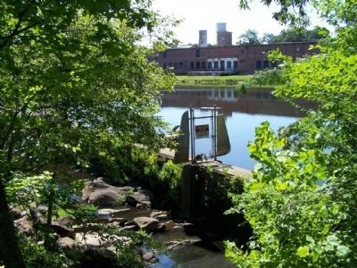
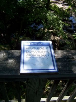
8. Rocky Mount Mills Stone Dam
The Stone Dam was built in 1909 to serve Rocky Mount Mills. The dam is four feet thick at the top and widens to eight feet at the bottom. It is located at the "Great Falls of the Tar River," a granite ledge that creates the natural fall line of the Tar River.
Credits. This page was last revised on May 5, 2023. It was originally submitted on August 10, 2011, by Mike Stroud of Bluffton, South Carolina. This page has been viewed 1,099 times since then and 40 times this year. Last updated on May 5, 2023, by Michael Buckner of Durham, North Carolina. Photos: 1, 2, 3, 4, 5, 6, 7, 8, 9, 10. submitted on August 12, 2011, by Mike Stroud of Bluffton, South Carolina. • Bernard Fisher was the editor who published this page.
