Madison Heights in Amherst County, Virginia — The American South (Mid-Atlantic)
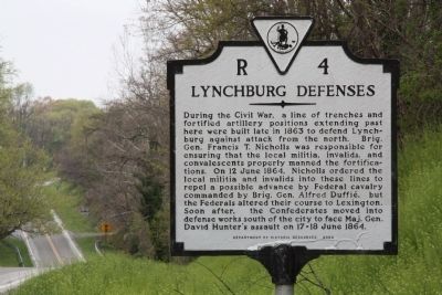
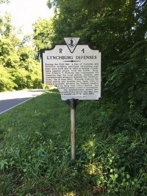
Lynchburg Defenses
Erected 2002 by Department of Historic Resources. (Marker Number R-4.)
Topics and series. This historical marker is listed in this topic list: War, US Civil. In addition, it is included in the Virginia Department of Historic Resources (DHR) series list. A significant historical date for this entry is June 12, 1864.
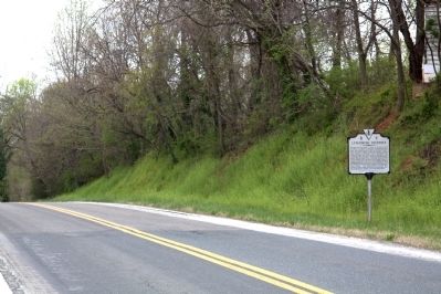
Location. 37° 25.455′ N, 79° 7.563′ W. Marker has been reported damaged. Marker is in Madison Heights, Virginia, in Amherst County. Marker is on Colony Road (Virginia Route 210) near South Amherst Highway (Virginia Route 163), on the left when traveling east. Touch for map. Marker is in this post office area: Madison Heights VA 24572, United States of America. Touch for directions.
Other nearby markers. At least 8 other markers are within one mile of this location, measured as the crow flies. Amherst County / Campbell County (approx. 0.7 miles away); Central Virginia Training Center (approx. 0.7 miles away); Williams Viaduct (approx. ¾ mile away); Point of Honor (approx. one mile away); Civil War Lynchburg (approx. one mile away); Percival's Island Overlook (approx. one mile away); Lynchburg History (approx. one mile away); Luke Jordan, Blues Pioneer (approx. 1.1 miles away). Touch for a list and map of all markers in Madison Heights.
More about this marker. South Amherst Highway, now State Route 163, was originally U.S. 29, then U.S. 29 Business when the first bypass was built. Today U.S. 29 bypasses that bypass.
This marker replaced an early 1930s marker with the same name and title that stood on then U.S. 29 at its intersection with Colony Road which read, “Half a mile southeast, on Madison Heights, are two large earthworks forming part of the Confederate defense system, 1861–65.”
Credits. This page was last revised on September 18, 2020. It was originally submitted on August 21, 2011. This page has been viewed 689 times since then and 24 times this year. Last updated on September 17, 2020, by Bradley Owen of Morgantown, West Virginia. Photos: 1, 2. submitted on August 21, 2011, by J. J. Prats of Powell, Ohio. 3, 4. submitted on June 11, 2016, by Brandon D Cross of Flagler Beach, Florida. • J. Makali Bruton was the editor who published this page.


