Amana in Iowa County, Iowa — The American Midwest (Upper Plains)
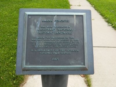
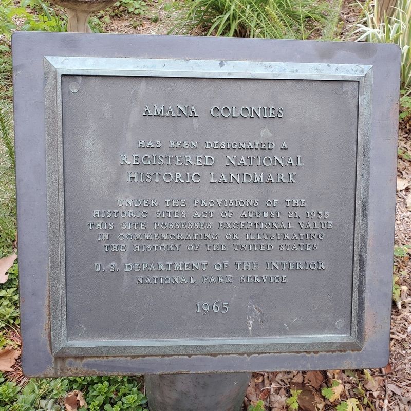
Amana Colonies
Registered National
Historic Landmark
Under the provisions of the
Historic Sites Act of August 21, 1935
This site possesses exceptional value
in commemorating or illustrating
the history of the United States
U.S. Department of the Interior
National Park Service
1965
Topics and series. This historical marker is listed in this topic list: Landmarks. In addition, it is included in the National Historic Landmarks series list. A significant historical year for this entry is 1935.
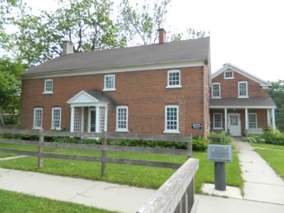
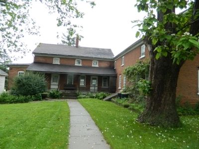
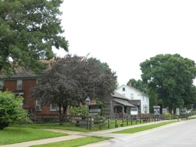
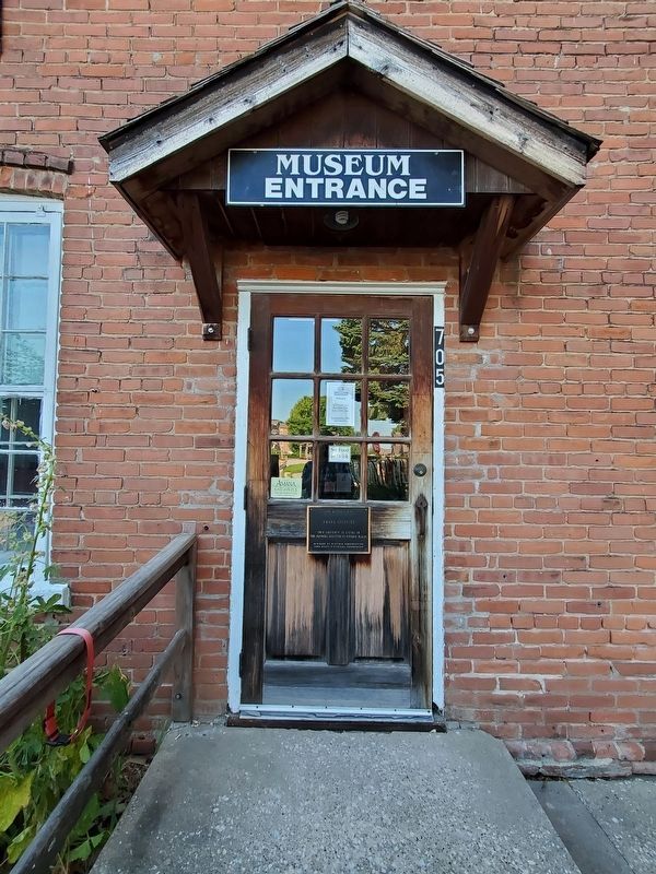
Location. 41° 48.015′ N, 91° 52.361′ W. Marker is in Amana, Iowa, in Iowa County. Marker is at the intersection of 44th Avenue and 220th Trail on 44th Avenue. Marker is located opposite the entrance of the Amana Heritage Society Museum. Touch for map. Marker is in this post office area: Amana IA 52203, United States of America. Touch for directions.
Other nearby markers. At least 8 other markers are within walking distance of this marker. Ronneburg Restaurant (about 300 feet away, measured in a direct line); Windmill House (about 300 feet away); The Wickery (about 400 feet away); Amana General Store (about 400 feet away); Wash House and Woodshed (about 500 feet away); Ackermann Residence (about 800 feet away); Wohn Haus (approx. 0.2 miles away); Amana History (approx. ¼ mile away). Touch for a list and map of all markers in Amana.
Also see . . . Amana Colonies - Wikipedia. (Submitted on October 14, 2011, by Bill Pfingsten of Bel Air, Maryland.)
Credits. This page was last revised on August 19, 2023. It was originally submitted on October 14, 2011, by Bill Pfingsten of Bel Air, Maryland. This page has been viewed 726 times since then and 31 times this year. Last updated on July 24, 2023, by Mark Parker of Hickory, North Carolina. Photos: 1. submitted on October 14, 2011, by Bill Pfingsten of Bel Air, Maryland. 2. submitted on July 24, 2023, by Mark Parker of Hickory, North Carolina. 3, 4, 5, 6, 7. submitted on October 14, 2011, by Bill Pfingsten of Bel Air, Maryland. 8. submitted on July 24, 2023, by Mark Parker of Hickory, North Carolina.
