Capitol Hill in Northeast Washington in Washington, District of Columbia — The American Northeast (Mid-Atlantic)
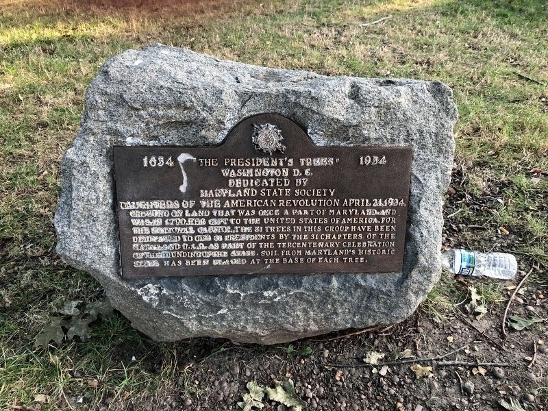
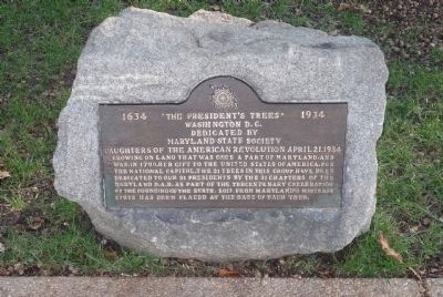
“The President’s Trees”
Erected 1934 by Maryland State Society, Daughters of the American Revolution.
Topics and series. This historical marker is listed in this topic list: Horticulture & Forestry. In addition, it is included in the Daughters of the American Revolution, and the Historic Trees series lists. A significant historical date for this entry is April 21, 1908.
Location. 38° 53.769′ N, 77° 0.456′ W. Marker is in Northeast Washington in Washington, District of Columbia. It is in Capitol Hill. Marker is on Columbus Circle Northeast near Louisiana Avenue Northeast. Touch for map. Marker is at or near this postal address: 50 Massachusetts Avenue Northeast, Washington DC 20002, United States of America. Touch for directions.
Other nearby markers. At least 8 other markers are within walking distance of this marker. Delaware Avenue & Columbus Circle, NE (about 300 feet away, measured in a direct line); Christopher Columbus (about 300 feet away); The Freedom Bell (about 400 feet away); Famine-Genocide in Ukraine (about 500 feet away); Gateway to The Nation's Capital (approx. 0.2 miles away); Japanese American Memorial to Patriotism During World War II (approx. 0.2 miles away); Workers Memorial Day (approx. 0.2 miles away); Here were the lots acquired on October 3, 1798 (approx. 0.2 miles away). Touch for a list and map of all markers in Northeast Washington.
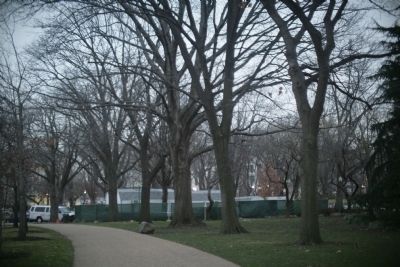
More about this marker. In 1934, Franklin Roosevelt was President, the 31st individual to hold that office. He is listed as the 32nd President because of Grover Cleveland's two non-consecutive terms.

Photographed By Devry Becker Jones (CC0), July 16, 2020
2. “The President’s Trees” Marker
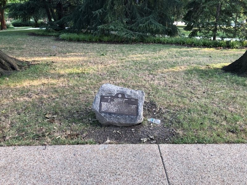
The plaque appears to have been defaced then cleaned, although residue remains.
Credits. This page was last revised on January 30, 2023. It was originally submitted on January 22, 2008, by Tom Fuchs of Greenbelt, Maryland. This page has been viewed 1,826 times since then and 21 times this year. Last updated on November 26, 2021, by Carl Gordon Moore Jr. of North East, Maryland. Photos: 1. submitted on September 25, 2010, by Richard E. Miller of Oxon Hill, Maryland. 2, 3. submitted on July 16, 2020, by Devry Becker Jones of Washington, District of Columbia. 4. submitted on January 22, 2008, by Tom Fuchs of Greenbelt, Maryland. • J. Makali Bruton was the editor who published this page.


