Deadwood in Lawrence County, South Dakota — The American Midwest (Upper Plains)
The Great Flood
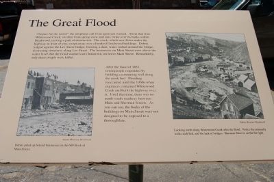
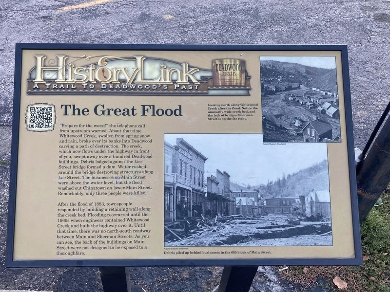
After the flood of 1883, townspeople responded by building a containing wall along the creek bed. Flooding reoccurred until the 1960s when engineers contained Whitewood Creek and built the highway over it. Until that time, there was no north-south roadway between Main and Sherman Streets. As you can see, the backs of the buildings were not designed to be exposed to a thoroughfare.
Captions:
Debris piled up behind businesses in the 600 block of Main Street.
Looking north along Whitewood Creek after the flood. Notice the unusually wide creek bed, and the lack of bridges. Sherman Street is on the right.
Erected by Deadwood Historic Preservation Commission. (Marker Number 11.)
Topics. This historical marker is listed in this topic list: Disasters. A significant historical year for this entry is 1883.
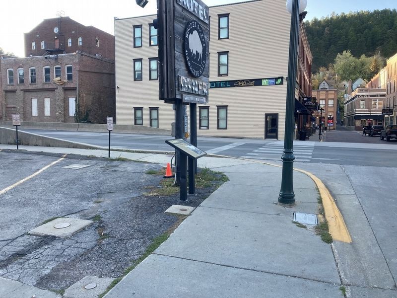
Location. 44° 22.587′ N, 103° 43.776′ W. Marker is in Deadwood, South Dakota, in Lawrence County. Marker is at the intersection of Lee Street and Highway 14A on Lee Street. This marker is on the south-east corner of Lee Street and Highway 14A. Touch for map. Marker is in this post office area: Deadwood SD 57732, United States of America. Touch for directions.
Other nearby markers. At least 8 other markers are within walking distance of this marker. The Fire of 1879 (within shouting distance of this marker); Sherman Street and the East Side (within shouting distance of this marker); Wild Bill Hickok Bust (within shouting distance of this marker); Wild Bill (within shouting distance of this marker); Jack McCall Capture Site (about 300 feet away, measured in a direct line); Black Hills Pioneers (about 300 feet away); Deadwood (about 300 feet away); Deadwood 1876 (about 300 feet away). Touch for a list and map of all markers in Deadwood.
Credits. This page was last revised on October 13, 2021. It was originally submitted on November 19, 2011, by Barry Swackhamer of Brentwood, California. This page has been viewed 1,058 times since then and 45 times this year. Last updated on October 12, 2021, by Connor Olson of Kewaskum, Wisconsin. Photos: 1. submitted on November 19, 2011, by Barry Swackhamer of Brentwood, California. 2, 3. submitted on October 12, 2021, by Connor Olson of Kewaskum, Wisconsin. • J. Makali Bruton was the editor who published this page.


