Centerport in Suffolk County, New York — The American Northeast (Mid-Atlantic)
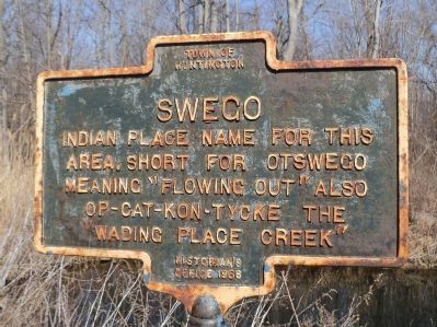
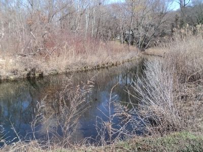
Swego
area. Short for Otswego
meaning “Flowing Out” also
Op-cat-kon-tycke the
“Wading Place Creek”.
Erected 1986 by Town of Huntington Historian’s Office.
Topics. This historical marker is listed in these topic lists: Native Americans • Parks & Recreational Areas • Waterways & Vessels.
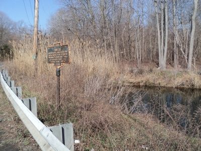
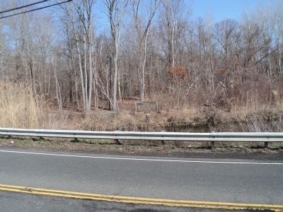
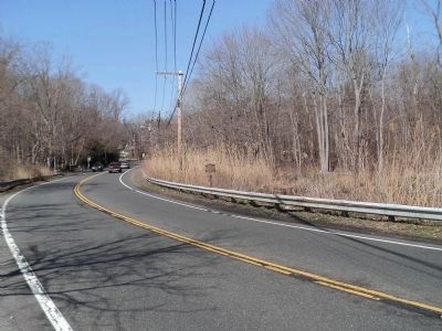
Location. 40° 53.107′ N, 73° 21.675′ W. Marker is in Centerport, New York, in Suffolk County. Marker is on Fort Salonga Road (New York State Route 25A) west of Stony Hollow Road, on the left when traveling east. Touch for map. Marker is in this post office area: Centerport NY 11721, United States of America. Touch for directions.
Other nearby markers. At least 8 other markers are within 2 miles of this marker, measured as the crow flies. Eastern Purchase (a few steps from this marker); Suydam House (approx. ¼ mile away); Home of Arthur Dove (approx. 0.6 miles away); Rice & Barton (approx. ¾ mile away); Site of Centreport (Upper) Mill (approx. 0.9 miles away); Camp Alvernia (approx. 1.1 miles away); Fay Kellogg (approx. 1.1 miles away); Cow Harbor (approx. 1.1 miles away). Touch for a list and map of all markers in Centerport.
Credits. This page was last revised on April 22, 2020. It was originally submitted on March 18, 2012, by Bill Coughlin of Woodland Park, New Jersey. This page has been viewed 726 times since then and 35 times this year. Last updated on April 18, 2020, by Jordan Romano of Kings Park, New York. Photos: 1, 2, 3, 4, 5, 6. submitted on March 18, 2012, by Bill Coughlin of Woodland Park, New Jersey. • Michael Herrick was the editor who published this page.
