Catonsville in Baltimore County, Maryland — The American Northeast (Mid-Atlantic)
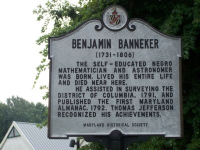
Benjamin Banneker
(1731–1806)
The self-educated Negro mathematician and astronomer was born, lived his entire life and died near here.
He assisted in surveying the District of Columbia, 1791, and published the first Maryland Almanac, 1792. Thomas Jefferson recognized his achievements.
Erected by Maryland Historical Society.
Topics and series. This historical marker is listed in these topic lists: African Americans • Colonial Era • Science & Medicine. In addition, it is included in the Former U.S. Presidents: #03 Thomas Jefferson series list. A significant historical year for this entry is 1791.
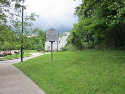
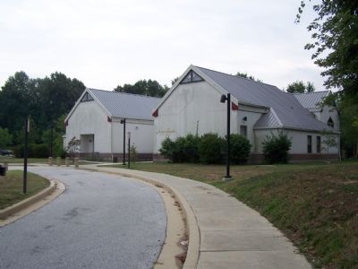
Location. 39° 16.168′ N, 76° 46.499′ W. Marker is in Catonsville, Maryland, in Baltimore County. Marker can be reached from Oella Road. Marker is on grounds of Benjamin Banneker Historical Park approximately 1 mile north of Frederick Road (Md 144). Touch for map. Marker is in this post office area: Catonsville MD 21228, United States of America. Touch for directions.
Other nearby markers. At least 8 other markers are within walking distance of this marker. 20th Anniversary (within shouting distance of this marker); Robert Bannaky (within shouting distance of this marker); The Stone Farmhouse (about 600 feet away, measured in a direct line); Banneker's Orchard (about 600 feet away); a different marker also named Benjamin Banneker (approx. 0.4 miles away); Edges of Earth's Crust Collided Here (approx. 0.9 miles away); The George Ellicott House (approx. one mile away); "Just One Nickel and I Could Ride" (approx. one mile away). Touch for a list and map of all markers in Catonsville.
More about this marker. This marker has had a difficult history, due, it seems, to vandals, perhaps motivated by racism. A marker was erected by the State Roads Commission on the west side of Westchester Avenue, one block south of Oella Avenue, in 1954. It read as follows:
Benjamin Banneker
1731-1806
Self-educated Negro
mathematician-astronomer
He made the first Maryland Almanac in 1792. Assisted in survey of District of Columbia. His achievements recognized by Thomas Jefferson.
Was born, lived his entire life and died near here.
According to the Baltimore Evening Sun, November 9, 1981, "Within a short time this first marker was destroyed by vandals. It was replaced in 1968, but a year later the second marker was destroyed. A third marker was erected in 1969, but that marker was also destroyed. Today the location of Banneker's farm is marked only by the stubby
pole that once held this final plaque."
Also see . . . Life of Benjamin Banneker. (Submitted on August 19, 2007, by Bill Pfingsten of Bel Air, Maryland.)
Credits. This page was last revised on November 25, 2020. It was originally submitted on August 19, 2007, by Bill Pfingsten of Bel Air, Maryland. This page has been viewed 5,351 times since then and 69 times this year. Last updated on November 23, 2020, by Bernard H. Berne of Arlington, Virginia. Photos: 1. submitted on August 19, 2007, by Bill Pfingsten of Bel Air, Maryland. 2. submitted on May 15, 2012, by Syd Whittle of Mesa, Arizona. 3. submitted on August 19, 2007, by Bill Pfingsten of Bel Air, Maryland. 4, 5, 6. submitted on May 15, 2012, by Syd Whittle of Mesa, Arizona.
