Defiance in Defiance County, Ohio — The American Midwest (Great Lakes)
Winchester's Camp #2 / Preston Island
Inscription.
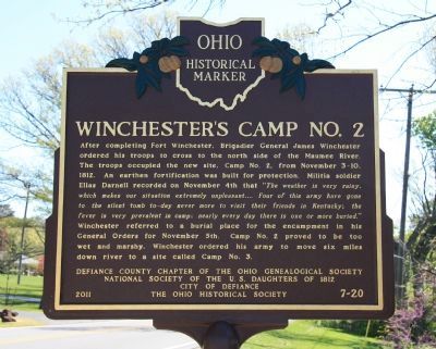
[Front Text on Marker] : "Winchester's Camp #2"
After completing Fort Winchester, Brigadier General James Winchester ordered his troops to cross to the north side of the Maumee River. The troops occupied the new site, Camp #2, from November 3-10, 1812. An earthen fortification was built for protection. Militia soldier Elias Darnell recorded on November 4th that “The weather is very rainy, which makes our situation extremely unpleasant…. Four of this army have gone to the silent tomb to-day never more to visit their friends in Kentucky; the fever is very prevalent in camp; nearly every day there is one or more buried.” Winchester referred to a burial place for the encampment in his General Orders for November 5th. Camp #2 proved to be too wet and marshy, Winchester ordered his army to move to six miles down river to a site called Camp #3.
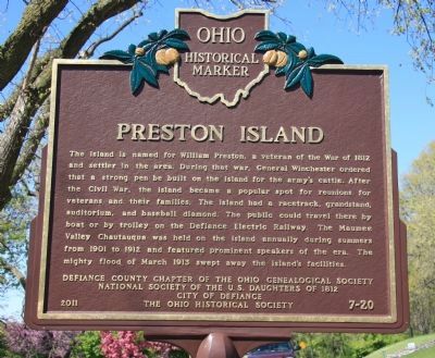
[Back Text on Marker] : "Preston Island"
The island is named for William Preston, a veteran of the War of 1812 and settler in the area. During that war, General Winchester ordered that a strong pen be built on the island for the army’s cattle. After the Civil War, the island became a popular spot for reunions for veterans and their families. The island had a racetrack, grandstand, auditorium, and baseball diamond. The public could travel there by boat or by trolley on the Defiance Electric Railway. The Maumee Valley Chautauqua was held on the island annually during summers from 1901 to 1912 and featured prominent speakers of the era. The mighty flood of March 1913 swept away the island’s facilities.
Erected 2011 by Defiance County Chapter of the Ohio Genealogical Society, National Society of the U.S. Daughters of 1812, City of Defiance, and The Ohio Historical Society . (Marker Number 7-20.)
Topics and series. This historical marker is listed in these topic lists: Forts and Castles • War of 1812. In addition, it is included in the Ohio Historical Society / The Ohio History Connection, and the United States Daughters of 1812, National Society series lists. A significant historical year for this entry is 1812.
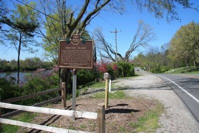
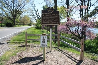
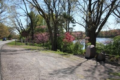
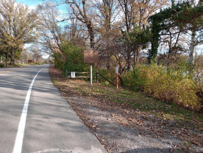
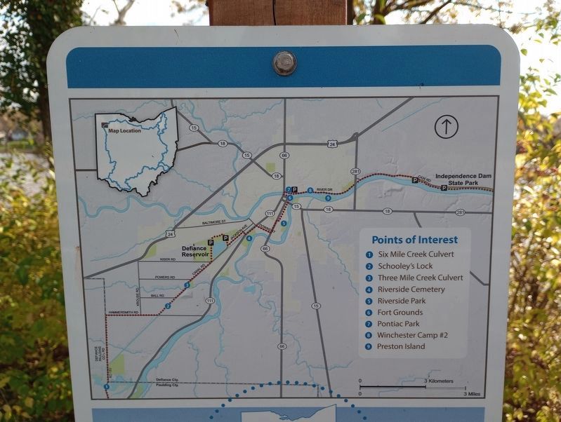
Location. 41° 17.387′ N, 84° 20.796′ W. Marker is in Defiance, Ohio, in Defiance County. Marker is on East River Drive (Ohio Route 424) west of Maywinn Road, on the right when traveling east. This historic marker is located on the north side of the Maumee River, along old state route 424, on the river side (south) of the street, in a small roadside park, just to the northeast (left) of two adjacent roadside stone historic markers. Touch for map. Marker is at or near this postal address: 1010 East River Drive, Defiance OH 43512, United States of America. Touch for directions.
Other nearby markers. At least 8 other markers
are within walking distance of this marker. Coohcooche (a few steps from this marker); Shawnee Glen (about 600 feet away, measured in a direct line); Johnny Appleseed (approx. 0.3 miles away); Historic Defiance (approx. 0.4 miles away); Chief Pontiac (approx. 0.4 miles away); Flood Poles (approx. 0.4 miles away); Buckeye Trail (approx. half a mile away); Pontiac Birthplace (approx. half a mile away). Touch for a list and map of all markers in Defiance.
Credits. This page was last revised on December 5, 2023. It was originally submitted on April 11, 2012, by Dale K. Benington of Toledo, Ohio. This page has been viewed 1,255 times since then and 59 times this year. Photos: 1, 2, 3, 4, 5. submitted on April 15, 2012, by Dale K. Benington of Toledo, Ohio. 6, 7. submitted on November 3, 2023, by Craig Doda of Napoleon, Ohio.
