Near Spotsylvania Courthouse in Spotsylvania County, Virginia — The American South (Mid-Atlantic)
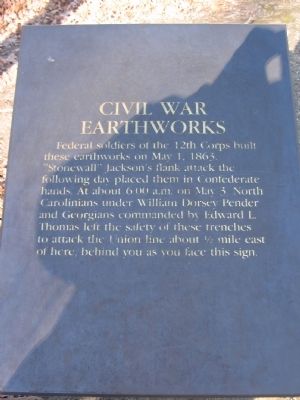
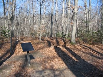
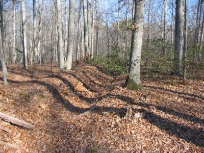
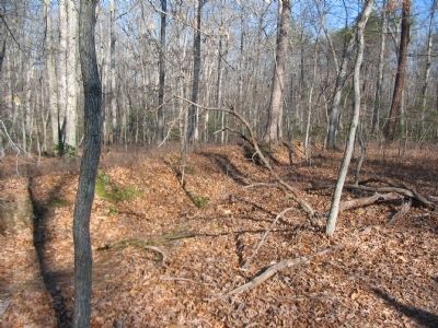
Civil War Earthworks
Topics. This historical marker is listed in this topic list: War, US Civil. A significant historical month for this entry is May 1830.
Location. 38° 18.735′ N, 77° 39.051′ W. Marker is near Spotsylvania Courthouse, Virginia, in Spotsylvania County. Marker can be reached from Bullock Road. Located at trail stop one on the Chancellorsville History Trail, at the Chancellorsville Battlefield. Touch for map. Marker is at or near this postal address: 9001 Plank Rd, Spotsylvania VA 22553, United States of America. Touch for directions.
Other nearby markers. At least 8 other markers are within walking distance of this marker. The Wilderness of Spotsylvania County (within shouting distance of this marker); Chancellorsville Campaign (about 300 feet away, measured in a direct line); a different marker also named Chancellorsville Campaign (about 400 feet away); a different marker also named Chancellorsville Campaign (about 400 feet away); The Battle of Chancellorsville (about 400 feet away); Memorializing Jackson's Death (about 500 feet away); a different marker also named Chancellorsville Campaign (about 500 feet away); Fredericksburg and Spotsylvania National Military Park (about 500 feet away). Touch for a list and map of all markers in Spotsylvania Courthouse.
Related markers. Click here for a list of markers that are related to this marker. Chancellorsville History Trail Virtual Tour by Markers
Credits. This page was last revised on July 9, 2021. It was originally submitted on February 17, 2008, by Craig Swain of Leesburg, Virginia. This page has been viewed 1,863 times since then and 39 times this year. Photos: 1, 2, 3, 4. submitted on February 17, 2008, by Craig Swain of Leesburg, Virginia.


