Near Baker in San Bernardino County, California — The American West (Pacific Coastal)
Harry Wade Exit Route
Additional marker
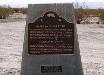
This plaque was replaced by Sam Brannan, Julia C Bulette, Yerba Buena, Lost Dutchman, Billy Holcomb, Platrix, John P. Squibob, and Chief Truckee chapters of "The Ancient and Honorable Order of E Clampus Vitus"
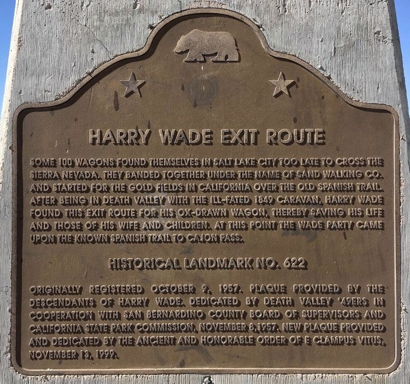
Erected 1957 by Descendants of Harry Wade, Death Valley 49ers, San Bernardino County, CA State Parks Comm., and E Clampus Vitus Chapter #s 1,2,1004,1864,1069,1853,3691 and 5917+4. (Marker Number 622.)
Topics and series. This historical marker is listed in these topic lists: Exploration • Settlements & Settlers. In addition, it is included in the California Historical Landmarks, the E Clampus Vitus, and the Old Spanish National Trail series lists. A significant historical year for this entry is 1849.
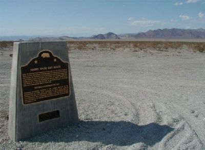
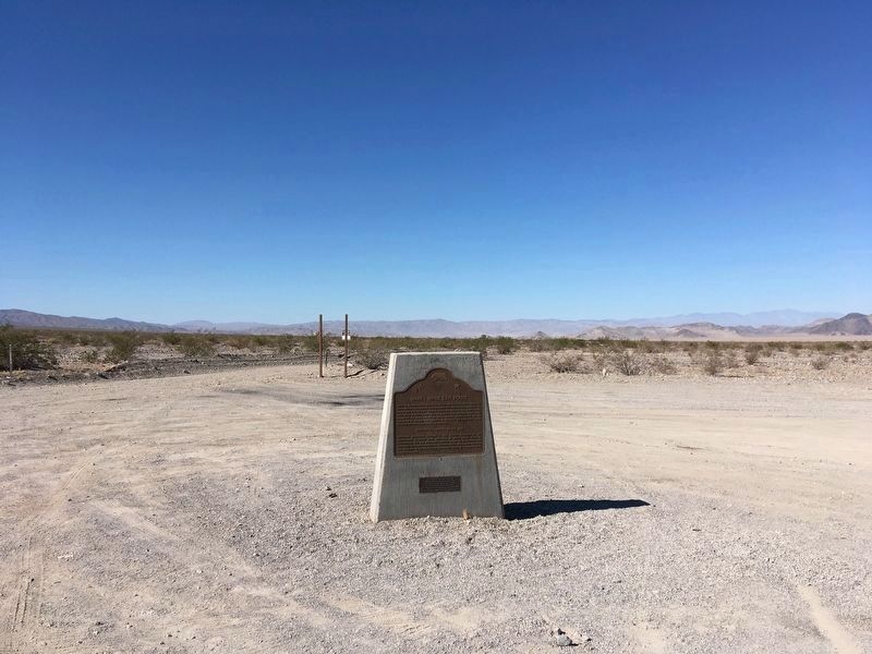
Location. 35° 37.975′ N, 116° 17.45′ W. Marker is near Baker, California, in San Bernardino County. Marker is at the intersection of Death Valley Road (California Route 127 at milepost 29.8) and Saratoga Springs Road, on the left when traveling north on Death Valley Road. From Baker take SR-127 north 30 miles to the marker. Touch for map. Marker is in this post office area: Baker CA 92309, United States of America. Touch for directions.
Other nearby markers. At least 5 other markers are within 16 miles of this marker, measured as the crow flies. Salt Creek (approx. 0.8 miles away); Salt Creek Hills (approx. 0.9 miles away); Saratoga Springs (approx. 8 miles away); China Ranch (approx. 12.7 miles away); Original Tecopa Town Site (approx. 15.7 miles away).
More about this marker. The original Plaque was placed by the Death Valley '49ers. It has been ventured that the marker was stolen to sell for the scrap metal value. This replacement marker was dedicated with descendants of the Harry Wade family in attendance. It was an honor for the Clampers to re-erect a new marker and be involved with the commemoration of this historical event of the 1849 Gold Rush to California.
SOURCE: Billy Holcomb Chapter 1069 35th Anniversary Plaque Book by Phillip Holdaway
Regarding Harry Wade Exit Route. The Harry Wade family became trapped in the desert without water. Following a
dry creek bed they reached safety at this point on the old Spanish Trail.
Also see . . . Death Valley 49ers Monuments. Additional historical monuments and markers placed by the Death Valley 49ers with information and photos. (Submitted on October 31, 2011.)
Credits. This page was last revised on November 9, 2020. It was originally submitted on October 27, 2011. This page has been viewed 1,771 times since then and 42 times this year. Last updated on November 6, 2020, by Craig Baker of Sylmar, California. Photos: 1. submitted on November 6, 2020, by Craig Baker of Sylmar, California. 2, 3. submitted on October 31, 2011. 4. submitted on November 6, 2020, by Craig Baker of Sylmar, California. • J. Makali Bruton was the editor who published this page.


