Nicodemus in Graham County, Kansas — The American Midwest (Upper Plains)
Nicodemus
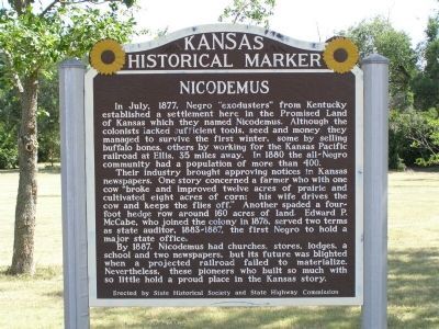
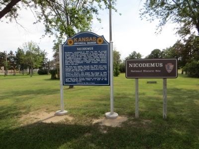
In July, 1877 Negro “exodusters” from Kentucky established a settlement here in the Promised Land of Kansas which they named Nicodemus. Although the colonists lacked sufficient tools, seed and money they managed to survive the first winter, some by selling buffalo bones, others by working for the Kansas Pacific railroad at Ellis, 35 miles away. In 1880 the all-Negro community had a population of more than 400.
Their industry brought approving notices in Kansas newspapers. one story concerned a farmer who with one cow “broke and improved twelve acres of prairie and cultivated eight acres of corn: his wife drives the cow and keeps the flies off.” Another spaded a four-foot hedge row around 160 acres of land. Edward P. McCabe, who joined the colony in 1878, served two terms as state auditor, 1883–1887, the first Negro to hold a major state office.
By 1887, Nicodemus had churches, stores, lodges a school and two newspapers, but its future was blighted when a projected railroad failed to materialize. Nevertheless, these pioneers who built so much with so little hold a proud place in the Kansas story.
Erected by State Historical Society and State Highway Commission. (Marker Number 42.)
Topics and series. This historical marker is listed in these topic lists: African Americans • Settlements & Settlers. In addition, it is included in the Kansas Historical Society series list. A significant historical month for this entry is July 1877.
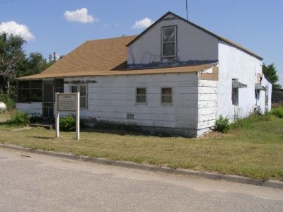
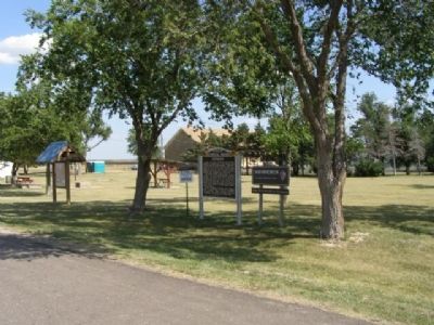
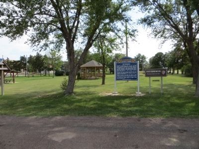
Location. Marker has been reported permanently removed. It was located near 39° 23.65′ N, 99° 36.826′ W. Marker was in Nicodemus, Kansas, in Graham County. Marker was on U.S. 24. It’s actually on South Ave, which parallels US 24 in town. The marker is on the east end of town between 1st and 2nd Streets. It faces US 24. Touch for map. Marker was in this post office area: Bogue KS 67625, United States of America.
We have been informed that this sign or monument is no longer there and will not be replaced. This page is an archival view of what was.
Other nearby markers. At least 8 other markers are within walking distance of this location. Main Street Boom and Beyond (about 400 feet away, measured in a direct line); a different marker also named Nicodemus (about 400 feet away); Together We Gather (about 500 feet away); St. Francis Hotel (about 600 feet away); Mail From Back Home
(about 600 feet away); Leaning On The Land (approx. 0.2 miles away); We've Come This Far By Faith (approx. 0.2 miles away); First Baptist Church (approx. 0.2 miles away). Touch for a list and map of all markers in Nicodemus.
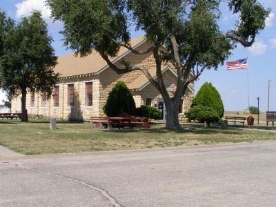
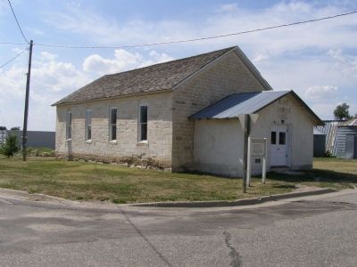
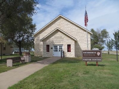
Regarding Nicodemus. Nicodemus National Historical Site includes the entire town. There is a visitor center with information and background in the old Township Hall at the corner of 1st and Main. It’s visible across the lawn from the marker to the southeast.
Also see . . . Nicodemus National Historic Site. (Submitted on September 27, 2007, by Christopher Light of Valparaiso, Indiana.)
Additional commentary.
1. Nicodemus Marker
Per the Kansas Historical Society web site, This sign was replaced in 2011-2012. Note To Editor only visible by Contributor and editor
— Submitted October 13, 2014, by Bill Kirchner of Tucson, Arizona.
Photographed By Bill Kirchner, September 22, 2014
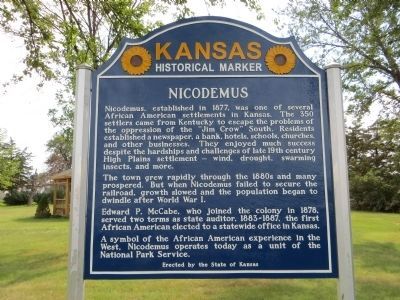
5. Nicodemus Marker
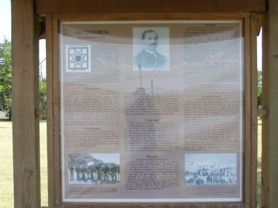
Nicodemus, established in 1877, was one of several African American settlements in Kansas. The 350 settlers came from Kentucky to escape the problems of the oppression of the “Jim Crow” South. Residents established a newspaper, a bank, hotels, schools, churches, and other businesses. They enjoyed much success despite the hardships and challenges of late 19th century High Plains settlement— wind, drought,swarming insects, and more.
The town grew rapidly through the 1880s and many prospered. But when Nicodemus failed to secure the railroad, growth slowed and the population began to dwindle after World War I.
Edward P. McCabe, who joined the colony in 1878, served two terms as state auditor, 1883-1887, the first African American elected to a statewide office in Kansas.
A symbol of the African American experience in the West, Nicodemus operates today as a unit of the National Park Service.
Credits. This page was last revised on September 3, 2020. It was originally submitted on August 6, 2007, by Christopher Light of Valparaiso, Indiana. This page has been viewed 2,632 times since then and 26 times this year. Last updated on August 15, 2020, by Connor Olson of Kewaskum, Wisconsin. Photos: 1, 2, 3, 4. submitted on August 6, 2007, by Christopher Light of Valparaiso, Indiana. 5. submitted on October 13, 2014, by Bill Kirchner of Tucson, Arizona. 6. submitted on August 6, 2007, by Christopher Light of Valparaiso, Indiana. 7, 8. submitted on October 13, 2014, by Bill Kirchner of Tucson, Arizona. 9, 10. submitted on August 6, 2007, by Christopher Light of Valparaiso, Indiana. 11. submitted on October 13, 2014, by Bill Kirchner of Tucson, Arizona. 12, 13. submitted on August 6, 2007, by Christopher Light of Valparaiso, Indiana. • J. Makali Bruton was the editor who published this page.
