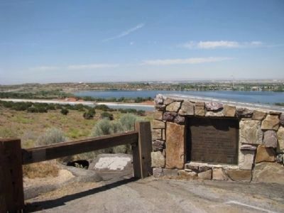
Near Palmdale in Los Angeles County, California — The American West (Pacific Coastal)
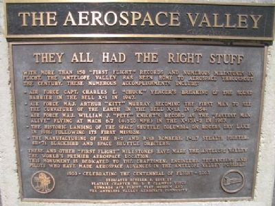
The Aerospace Valley
They All Had The Right Stuff
-Air Force Capt. Charles E. "Chuck" Yeager's breaking of the sound barrier in the Bell X-1 in 1947.
-Air Force Maj. Arthur "Kitt" Murray becoming the First Man to see the curvature of the earth in the Bell X-1A in 1954.
-Air Force Maj. William J. "Pete" Knight's record as the "Fastest Man Alive" flying at Mach 6.7 (4,520 MPH) in the X-15A-2 in 1967.
-The historic landing of the Space Shuttle Columbia on Rogers Dry Lake in 1981, following its first mission.
-The manufacturing of the B-2 and B-1B Bombers, F-117 Stealth Fighter, SR-71 Blackbird and Space Shuttle Orbiters.
These and other "First Flight" Milestones have made the Antelope Valley the world's premier aerospace location. This monument is dedicated to the craftsmen, engineers, technicians and pilots who have made aerospace advances in the Antelope Valley possible.
Celebrating the Centennial of Flight 1903-2003.
Erected 2003 by Platrix Chapter No. 2 E Clampus Vitus, Edwards AFB Flight Test Museum, and The Antelope Valley Aerospace Community.
Topics and series. This historical marker is listed in this topic list: Air & Space. In addition, it is included in the E Clampus Vitus series list. A significant historical year for this entry is 1947.
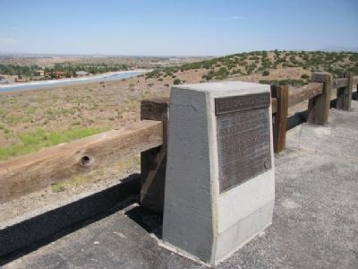
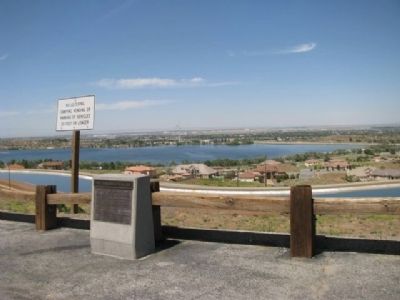
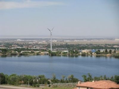
Location. 34° 32.441′ N, 118° 7.355′ W. Marker is near Palmdale, California, in Los Angeles County. Marker is on California Route 14, 2.4 miles north of Angeles Forest Highway, on the right when traveling north. Located on northbound Highway 14 at Lamont Odett Vista Point. Touch for map. Marker is in this post office area: Palmdale CA 93551, United States of America. Touch for directions.
Other nearby markers. At least 8 other markers are within 5 miles of this marker, measured as the crow flies. The San Andreas Fault (within shouting distance of this marker); Lamont Odett Vista Point (within shouting distance of this marker); Palmdale Cemetery (approx. 2.1 miles away); Palmdale Schoolhouse (approx. 3.6 miles away); William J. "Pete" Knight (approx. 4.7 miles away); F-101 Voodoo Escort Fighter (approx. 4.7 miles away); MK-20 Rockeye Cluster Bomb Unit (approx. 4.7 miles away); A-4AR Cockpit Trainer (approx. 4.7 miles away). Touch for a list and map of all markers in Palmdale.
Photographed By Denise Boose, May 12, 2012
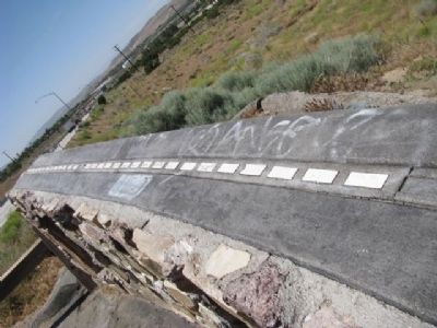
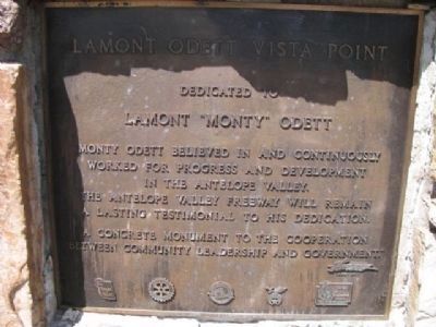
5. Lamont Odett Vista Point
Dedicated to
Lamont "Monty" Odett
Monty Odett believed in and continuously worked for progress and development in the Antelope Valley. The Antelope Valley Freeway will remain a lasting testimonial to his dedication. "A concrete monuemnt to the cooperation between community leadership and government."
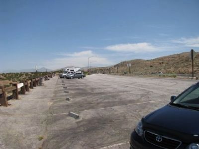
Located towards the North end of the parking lot.
Credits. This page was last revised on January 30, 2023. It was originally submitted on May 14, 2012, by Denise Boose of Tehachapi, California. This page has been viewed 1,204 times since then and 65 times this year. Last updated on May 10, 2020, by Craig Baker of Sylmar, California. Photos: 1, 2, 3, 4, 5, 6. submitted on May 14, 2012, by Denise Boose of Tehachapi, California. 7, 8, 9, 10. submitted on May 15, 2012, by Denise Boose of Tehachapi, California. • Syd Whittle was the editor who published this page.
