Near Circleville in Pickaway County, Ohio — The American Midwest (Great Lakes)
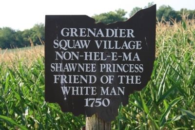
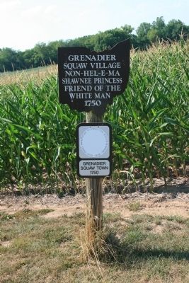
Grenadier Squaw Village
Squaw Village
Non-Hel-E-Ma
Shawnee Princess
Friend of the
White Man
1750
Topics. This historical marker is listed in these topic lists: Colonial Era • Native Americans • Settlements & Settlers • Wars, US Indian. A significant historical year for this entry is 1750.
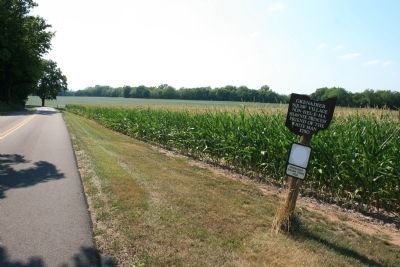
Location. Marker has been reported permanently removed. It was located near 39° 31.855′ N, 82° 57.561′ W. Marker was near Circleville, Ohio, in Pickaway County. Marker was on Emerson Road, 0.4 miles east of U.S. 23, on the left when traveling east. This historic marker is about four miles south of Circleville. Touch for map. Marker was at or near this postal address: 4034 Emerson Rd, Circleville OH 43113, United States of America.
We have been informed that this sign or monument is no longer there and will not be replaced. This page is an archival view of what was.
Other nearby markers. At least 8 other markers are within 2 miles of this location, measured as the crow flies. Grenadier Squaw Village / Cornstalk Town (about 300 feet away, measured in a direct line); Site of Logan Elm (approx. 1˝ miles away); John Boggs Memorial (approx. 1˝ miles away); Capt. Michael Cresap (approx. 1˝ miles away); Among Those Present (approx. 1˝ miles away); Grenadier Squaw (Non-hel-e-ma) (approx. 1˝ miles away); Cornstalk (approx. 1˝ miles away); Monument to Logan (approx. 1˝ miles away). Touch for a list and map of all markers in Circleville.
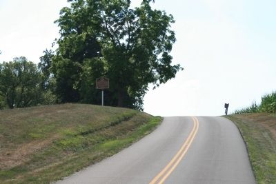
Photographed By Dale K. Benington, July 11, 2012
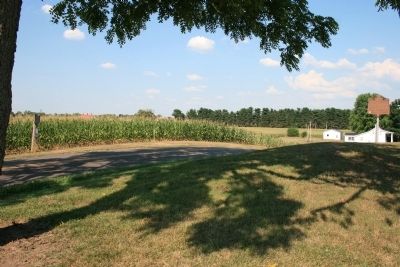
5. Grenadier Squaw Village Marker
Distant view, looking west along Emerson Road, of the historic marker, up on the top of the ridge, on the right side of the road, with a view of the Ohio Historic marker for the village on the left side of the road, in front of the tree.
Credits. This page was last revised on May 14, 2021. It was originally submitted on September 8, 2012, by Dale K. Benington of Toledo, Ohio. This page has been viewed 962 times since then and 31 times this year. Last updated on May 14, 2021, by Grant & Mary Ann Fish of Galloway, Ohio. Photos: 1, 2, 3, 4, 5. submitted on September 8, 2012, by Dale K. Benington of Toledo, Ohio. 6. submitted on September 9, 2012, by Dale K. Benington of Toledo, Ohio. • Devry Becker Jones was the editor who published this page.
