Near Nyesville in Parke County, Indiana — The American Midwest (Great Lakes)
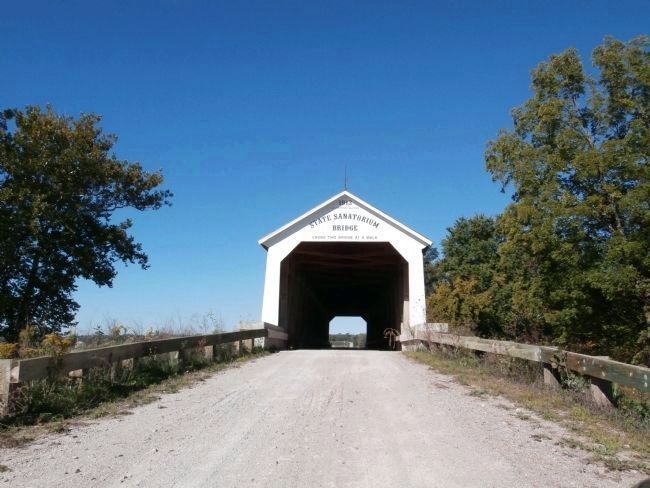
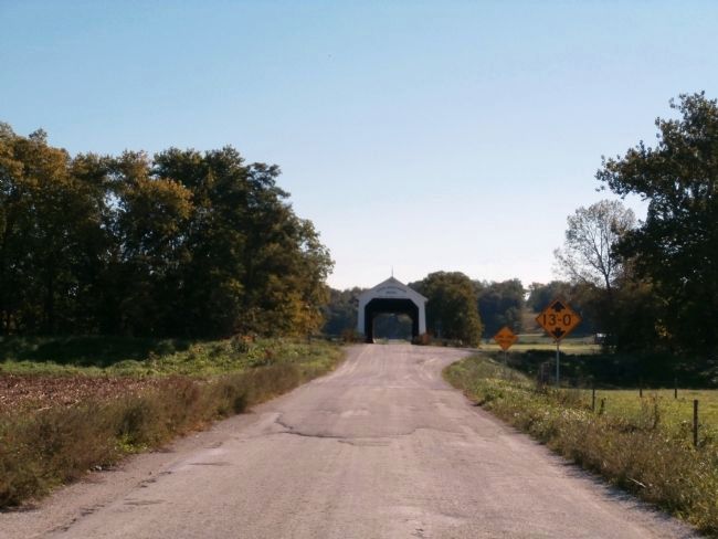
State Sanatorium Covered Bridge
Inscription.
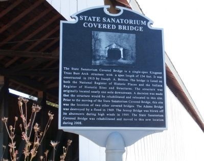
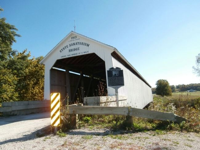
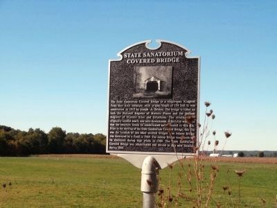
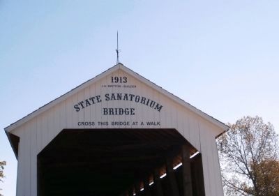
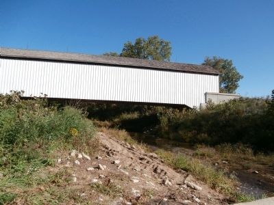
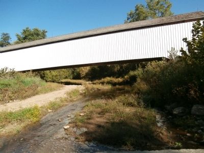
The State Sanatorium Covered Bridge is a single-span Kingpost Truss Burr Arch structure with a span length of 154 feet. It was constructed in 1913 by Joseph A. Britton. The bridge is listed on both the National Register of Historic Places and the Indiana Register of Historic Sites and Structures. The structure was originally located nearly one mile downstream. A decision was made that the structure would be rehabilitated and relocated to this site. Prior to the moving of the State Sanatorium Covered Bridge, this site was the location of two other covered bridges. The Adams Bridge was destroyed by flood in 1969. The Jessup Bridge was blown off its abutments during high winds in 1989. The State Sanatorium Covered Bridge was rehabilitated and moved to this new location.
Topics and series. This historical marker is listed in these topic lists: Bridges & Viaducts • Roads & Vehicles. In addition, it is included in the Covered Bridges series list. A significant historical year for this entry is 1913.
Location. 39° 46.869′ N, 87° 8.73′ W. Marker is near Nyesville, Indiana, in Parke County. Marker is on County Road 100 N east of Adams Road (County Road 349), on the right when traveling east. Touch for map. Marker is in this post office area: Rockville IN 47872, United States of America. Touch for directions.
Other nearby markers. At least 8 other markers are within 5 miles of this marker, measured as the crow flies. Site Of Shiloh Presbyterian Church (approx. 0.3 miles away); First Church Built in Parke County Indiana (approx. 0.3 miles away); Birthplace of Mordecai Brown (approx. 1.3 miles away); The Batty Mine Location (approx. 1˝ miles away); Gov. Joseph A. Wright (approx. 3˝ miles away); Rockville Cemetery (approx. 4.3 miles away); 1883 Railroad Depot (approx. 4.3 miles away); Old 1832 Jail (approx. 4˝ miles away). Touch for a list and map of all markers in Nyesville.
Regarding State Sanatorium Covered Bridge. From the “Tribune Star” - “Parke County Covered Bridge Festival” flier of 2011 (page 28)::
“”Though built near Morlan’s Mill, the State Sanatorium Bridge was built for, associated with, and owned by the State Sanatorium.
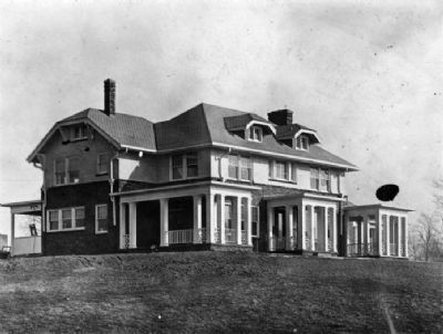
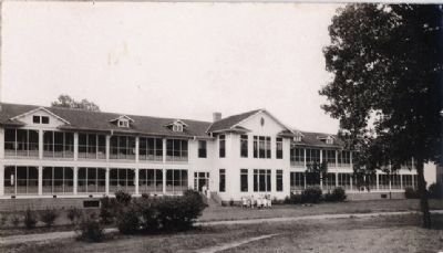
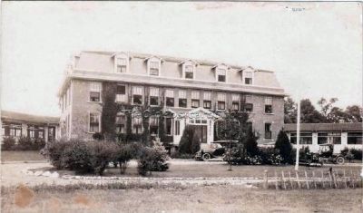
The 65th Indiana General Assembly approved establishment and financing of the State Tuberculosis Hospital or Sanatorium on March 8, 1907. It was in full operation by the end of 1910. The sanatorium functioned as a city unto itself with a school, 3 doctors, 16 nurses, a dentist, electric and steam power plant, laundry, dairy, bakery, and chicken farm.
This bridge was built to haul coal to the State Sanatorium from mines one or two miles away. The Sanatorium was heated by coal and power plant was driven by coal.
This
bridge is the only one to have lightning rods. The bridge was on private property and had fallen to disrepair and was closed. In 2009 the bridge was moved to CR 100 N and is now open to traffic.”“
Also see . . . Video - Slide Show - -"Sanitorium Covered Bridge Rehabilitation" (Courtesy - YouTube) ::. (Submitted on September 28, 2012, by Al Wolf of Veedersburg, Indiana.)

Photographed By Larry Gertner
13. Sanatorium Covered Bridge Rehabilitation
Parke County Living website entry:
Photo coverage from July 2006 to December 2008
Click for more information.
Photo coverage from July 2006 to December 2008
Click for more information.
Credits. This page was last revised on November 5, 2021. It was originally submitted on September 25, 2012, by Al Wolf of Veedersburg, Indiana. This page has been viewed 1,154 times since then and 28 times this year. Last updated on January 17, 2021, by Craig Doda of Napoleon, Ohio. Photos: 1, 2, 3, 4, 5, 6, 7, 8, 9. submitted on September 25, 2012, by Al Wolf of Veedersburg, Indiana. 10, 11, 12. submitted on September 27, 2012, by Al Wolf of Veedersburg, Indiana. 13. submitted on November 5, 2021, by Larry Gertner of New York, New York. • Devry Becker Jones was the editor who published this page.
