Patterson Park in Baltimore, Maryland — The American Northeast (Mid-Atlantic)
Patterson Park
Civil War Camp and Hospital
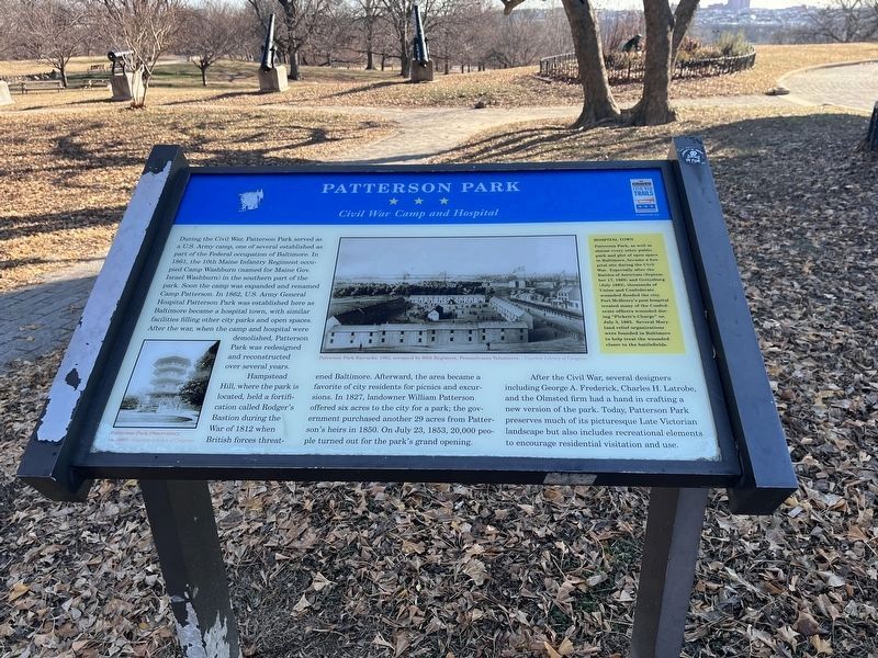
During the Civil War Patterson Park served as a U.S. Army camp, one of several established as part of the Federal occupation of Baltimore. In 1861 the 10th Maine Infantry Regiment occupied Camp Washburn (named for Maine Gov. Israel Washburn) in the southern part of the park. Soon the camp was expanded and renamed Camp Patterson. In 1862, U.S. Army General Hospital Patterson Park was established here as Baltimore became a hospital town, with similar facilities filling other city parks and open spaces. After the war, when the camp and hospital were demolished, Patterson Park was redesigned and reconstructed over several years.
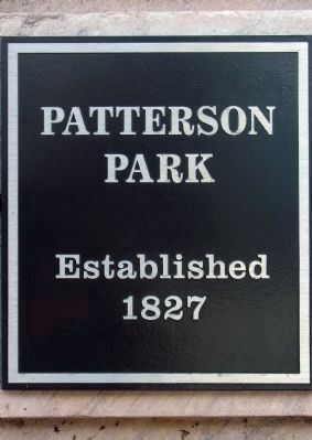
Hampstead Hill, where the park is located, held a fortification called Rodgers' Bastion during the War of 1812 when British forces threatened Baltimore. Afterward, the area became a favorite of city residents for picnics and excursions. In 1827, landowner William Patterson offered six acres to the city for a park; the government purchased another 29 acres from Patterson's heirs in 1850. On July 23, 1853, 20,000 people turned out for the park's grand opening.
After the Civil War, several designers including George A. Frederick, Charles H. Latrobe, and the Olmsted firm had a hand in crafting a new version of the park. Today, Patterson Park preserves much of its picturesque Late Victorian landscape but also includes recreational elements to encourage residential visitation and use.
[Sidebar:]
Hospital Town
Patterson Park, as well as almost every other public park and plot of open space in Baltimore, became a hospital during the Civil War. Especially after the Battles of Antietam (September 17, 1862) and Gettyburg (July 1863), thousands of Union and Confederate wounded flooded into the city. Fort McHenry's post hospital treated many of the Confederate officers wounded during "Pickett's Charge" on July 3, 1863. Several Maryland relief organizations were founded in Baltimore to help treat the wounded closer to the battlefields.
Erected by Maryland Civil War Trails.
Topics. This historical marker is listed in these topic lists: Forts and Castles • Parks & Recreational Areas • Science & Medicine • War of 1812 • War, US Civil. A significant historical date for this entry is July 23, 1853.
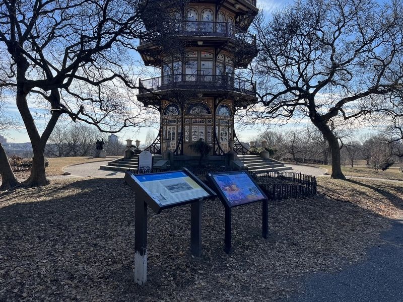
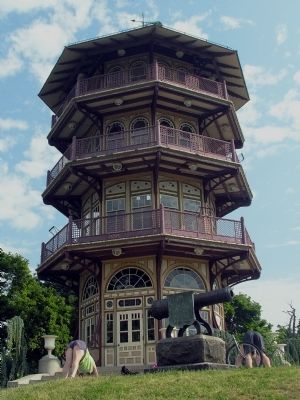
Location. 39° 17.413′ N, 76° 35.029′ W. Marker is in Baltimore, Maryland. It is in Patterson Park. Marker is on Patterson Park Avenue. Marker is in Patterson Park near the Pagoda. Touch for map. Marker is in this post office area: Baltimore MD 21224, United States of America. Touch for directions.
Other nearby markers. At least 8 other markers are within walking distance of this marker. Prelude to War (a few steps from this marker); Show of Strength (within shouting distance of this marker); The Star-Spangled Banner Centennial Monument (within shouting distance of this marker); This Cannon Marks Rodgers Bastion (within shouting distance of this marker); a different marker also named Patterson Park (within shouting distance of this marker); Dr. Levi Watkins Jr. Memorial Fountain
(within shouting distance of this marker); 122 South Patterson Park Avenue (within shouting distance of this marker); Conradin Kreutzer (about 700 feet away, measured in a direct line). Touch for a list and map of all markers in Baltimore.
Photographed By Robert Edge Pine
5. William Patterson
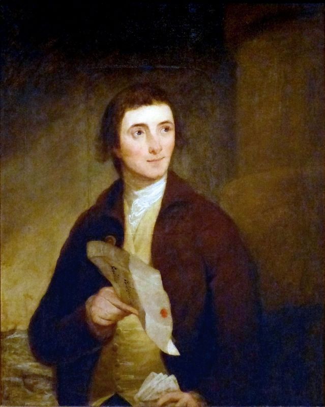
This 1784-1788 portrait of William Patterson, (1752-1835), by Robert Edge Pine hangs in the Maryland Historical Society Museum in Baltimore, Maryland.
“William Patterson was an Irish immigrant who made his fortune during the Revolutionary War, trading with France for powder and arms for General Washington's troops. In 1778, when he arrived in Baltimore from Philadelphia, he possessed $100,000 to invest in shipping and real estate. He continued to grow his financial investments and shipping empire throughout his lifetime. In 1827, Patterson donated five acres of land to the city for a park which today is known as Patterson Park.” – Maryland Historical Society
“William Patterson was an Irish immigrant who made his fortune during the Revolutionary War, trading with France for powder and arms for General Washington's troops. In 1778, when he arrived in Baltimore from Philadelphia, he possessed $100,000 to invest in shipping and real estate. He continued to grow his financial investments and shipping empire throughout his lifetime. In 1827, Patterson donated five acres of land to the city for a park which today is known as Patterson Park.” – Maryland Historical Society
Credits. This page was last revised on December 26, 2022. It was originally submitted on December 16, 2012, by Allen C. Browne of Silver Spring, Maryland. This page has been viewed 1,102 times since then and 82 times this year. Photos: 1. submitted on December 26, 2022, by Devry Becker Jones of Washington, District of Columbia. 2. submitted on December 16, 2012, by Allen C. Browne of Silver Spring, Maryland. 3. submitted on December 26, 2022, by Devry Becker Jones of Washington, District of Columbia. 4. submitted on December 16, 2012, by Allen C. Browne of Silver Spring, Maryland. 5. submitted on June 3, 2018, by Allen C. Browne of Silver Spring, Maryland. 6. submitted on December 16, 2012, by Allen C. Browne of Silver Spring, Maryland. • Bill Pfingsten was the editor who published this page.
