Triadelphia in Ohio County, West Virginia — The American South (Appalachia)
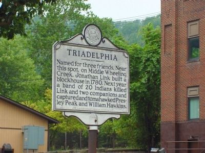
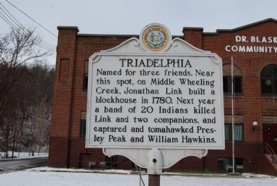
Triadelphia
Erected 1979 by West Virginia Department of Culture and History.
Topics and series. This historical marker is listed in these topic lists: Native Americans • Settlements & Settlers. In addition, it is included in the West Virginia Archives and History series list. A significant historical year for this entry is 1780.
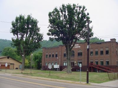
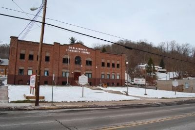
Location. 40° 3.186′ N, 80° 37.642′ W. Marker is in Triadelphia, West Virginia, in Ohio County. Marker is on National Road (U.S. 40) east of Chapel Mill Road (Local Route 8), on the left when traveling east. Marker is in front of City Hall. Touch for map. Marker is in this post office area: Triadelphia WV 26059, United States of America. Touch for directions.
Other nearby markers. At least 8 other markers are within 2 miles of this marker, measured as the crow flies. A different marker also named Triadelphia (a few steps from this marker); Veterans Memorial (about 300 feet away, measured in a direct line); Revolutionary War Soldiers (approx. 1˝ miles away); Grand Army of Republic (approx. 1.6 miles away); Elm Grove Stone Bridge (approx. 1.8 miles away); “Monument Place” (approx. 1.8 miles away); Osiris Temple Legion of Honor (approx. 1.8 miles away); a different marker also named Monument Place (approx. 1.8 miles away). Touch for a list and map of all markers in Triadelphia.
More about this marker. A blockhouse is a sturdy fortified building designed with ports for defensive firing and observation.
Credits. This page was last revised on May 9, 2023. It was originally submitted on December 10, 2006, by J. J. Prats of Powell, Ohio. This page has been viewed 1,961 times since then and 47 times this year. Last updated on May 9, 2023, by Bradley Owen of Morgantown, West Virginia. Photos: 1. submitted on December 10, 2006, by J. J. Prats of Powell, Ohio. 2. submitted on January 4, 2014, by Mike Wintermantel of Pittsburgh, Pennsylvania. 3. submitted on December 10, 2006, by J. J. Prats of Powell, Ohio. 4. submitted on January 4, 2014, by Mike Wintermantel of Pittsburgh, Pennsylvania. • J. Makali Bruton was the editor who published this page.


