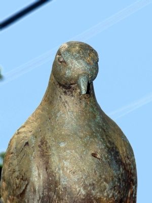
Bel Air in Harford County, Maryland — The American Northeast (Mid-Atlantic)
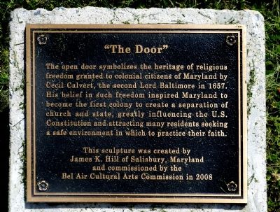
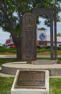
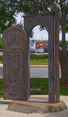
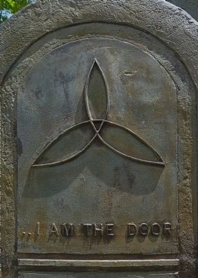
"The Door"
James K. Hill of Salisbury, Maryland
and commissioned by the
Bel Air Cultural Arts Commission in 2008
Erected 2008 by Bel Air Cultural Arts Commission.
Topics. This historical marker is listed in these topic lists: Churches & Religion • Colonial Era • Government & Politics. A significant historical year for this entry is 1657.
Location. 39° 31.984′ N, 76° 20.865′ W. Marker is in Bel Air, Maryland, in Harford County. Marker can be reached from the intersection of Baltimore Pike (Business U.S. 1) and Kenmore Avenue (Maryland Route 924). Marker is in a small park in the 100 block of Baltimore Pike where it meets Kenmore Avenue. Touch for map. Marker is in this post office area: Bel Air MD 21014, United States of America. Touch for directions.
Other nearby markers. At least 8 other markers are within walking distance of this marker. The Hays House (about 300 feet away, measured in a direct line); Bel Air (approx. 0.2 miles away); a different marker also named Bel Air (approx. 0.2 miles away); Historic Bel Air (approx. 0.2 miles away); Veterans Memorial (approx. 0.2 miles away); Sacred to the Memory of the Men of Harford County (approx. 0.3 miles away); The Norris House (approx. 0.3 miles away); Frederick Ward Park (approx. 0.3 miles away). Touch for a list and map of all markers in Bel Air.
Credits. This page was last revised on November 16, 2020. It was originally submitted on July 5, 2013. This page has been viewed 865 times since then and 39 times this year. Last updated on November 12, 2020, by Carl Gordon Moore Jr. of North East, Maryland. Photos: 1, 2, 3, 4, 5. submitted on July 5, 2013, by Allen C. Browne of Silver Spring, Maryland. • J. Makali Bruton was the editor who published this page.
