Los Padillas Recreation Complex near Albuquerque in Bernalillo County, New Mexico — The American Mountains (Southwest)
Los Padillas
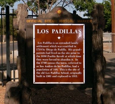
Los Padillas is an extended family settlement which was resettled in 1718 by Diego de Padilla. His grandparents had lived on the site prior to the 1680 Pueblo Revolt at which time they were forced to abandon it. In the 1790 census the town, referred to as San Andres de los Padillas, had a population of 168. This is the site of the old Los Padillas School, originally built in 1901 and replaced in 1912.
Erected by New Mexico State Historic Preservation Division.
Topics. This historical marker is listed in this topic list: Settlements & Settlers. A significant historical year for this entry is 1680.
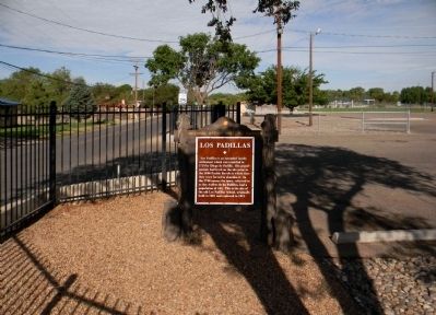
Location. 34° 57.411′ N, 106° 41.813′ W. Marker is near Albuquerque, New Mexico, in Bernalillo County. It is in Los Padillas Recreation Complex. Marker is on Los Padillas Road SW, 0.1 miles west of Isleta Boulevard SW (State Road 314), on the right when traveling west. The marker is located at the Los Padillas Community Center. The center is secured with a perimeter fence which is locked when the facility is closed. Touch for map. Marker is at or near this postal address: 2117 Los Padillas Road SW, Albuquerque NM 87105, United States of America. Touch for directions.
Other nearby markers. At least 8 other markers are within 4 miles of this marker, measured as the crow flies. Pajarito (approx. 2.1 miles away); Juliana Gutierrez y Chaves Hubbell / Gutierrez-Hubbell House (approx. 2.2 miles away); El Camino Real (approx. 2.2 miles away); La Plazita (approx. 2.2 miles away); Gutierrez-Hubbell House (approx. 2.3 miles away); Why are there sheep in the Bernalillo County Seal? (approx. 2.3 miles away); Josefa Baca / Pajarito Land Grant (approx. 2.3 miles away); Pueblo of Isleta Tuei (approx. 3.2 miles away).
Credits. This page was last revised on February 2, 2023. It was originally submitted on July 27, 2013, by PaulwC3 of Northern, Virginia. This page has been viewed 3,040 times since then and 296 times this year. Photos: 1, 2. submitted on July 27, 2013, by PaulwC3 of Northern, Virginia.

