Harrisburg in Dauphin County, Pennsylvania — The American Northeast (Mid-Atlantic)
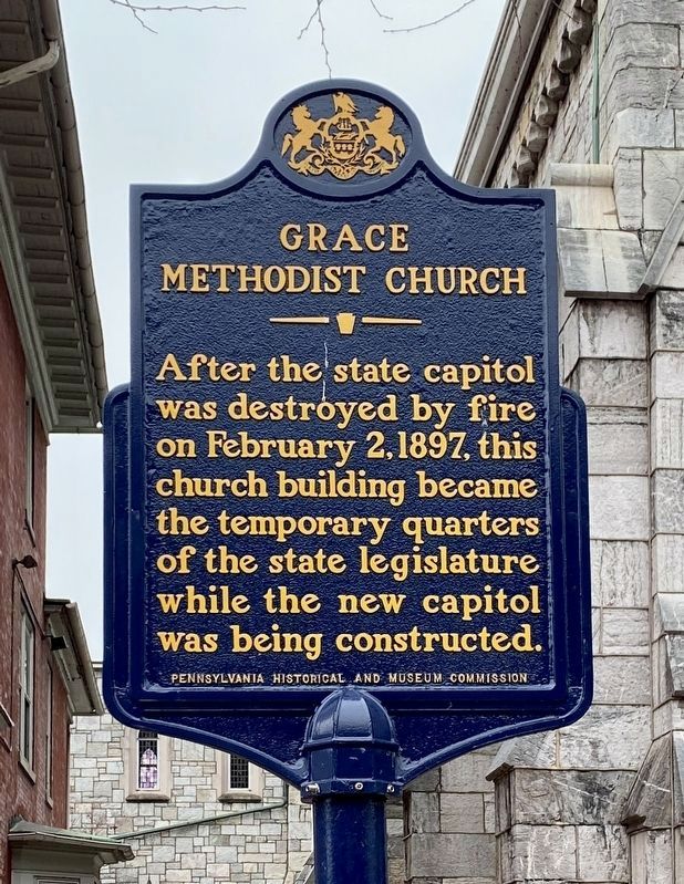
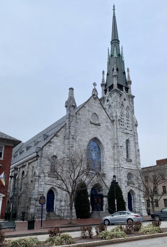
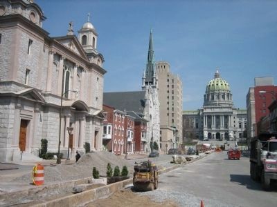
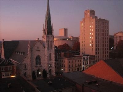
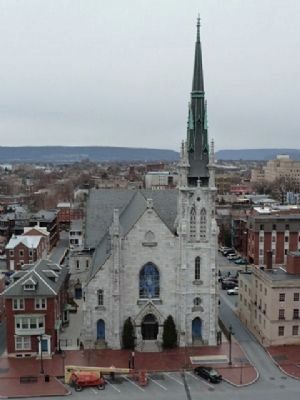
Grace Methodist Church
Erected 1968 by Pennsylvania Historical and Museum Commission.
Topics and series. This historical marker is listed in these topic lists: Churches & Religion • Government & Politics • Notable Events. In addition, it is included in the Pennsylvania Historical and Museum Commission series list. A significant historical date for this entry is February 2, 1897.
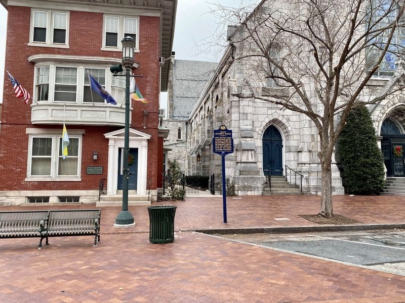
Location. 40° 15.816′ N, 76° 53.155′ W. Marker is in Harrisburg, Pennsylvania, in Dauphin County. Marker is on State Street, 0.1 miles west of Third Street. Touch for map. Marker is at or near this postal address: 216 State St, Harrisburg PA 17101, United States of America. Touch for directions.
Other nearby markers. At least 8 other markers are within walking distance of this marker. Saint Patrick's Cathedral (a few steps from this marker); Grace United Methodist Church (within shouting distance of this marker); The Obelisk (within shouting distance of this marker); Public Sector Unionism (within shouting distance of this marker); Present State Capitol Building (about 300 feet away, measured in a direct line); Old Capitol Building (about 300 feet away); The Nature Conservancy (about 300 feet away); Hope Fire Station (about 600 feet away). Touch for a list and map of all markers in Harrisburg.
Credits. This page was last revised on January 24, 2023. It was originally submitted on March 29, 2008, by Bill Pfingsten of Bel Air, Maryland. This page has been viewed 1,334 times since then and 34 times this year. Last updated on July 14, 2022, by Carl Gordon Moore Jr. of North East, Maryland. Photos: 1, 2, 3. submitted on December 27, 2022. 4. submitted on March 29, 2008, by Bill Pfingsten of Bel Air, Maryland. 5, 6. submitted on April 18, 2010, by John K. Robinson of Harrisburg, Pennsylvania. 7. submitted on April 9, 2011, by John K. Robinson of Harrisburg, Pennsylvania. • Devry Becker Jones was the editor who published this page.
