Winchester in Clark County, Kentucky — The American South (East South Central)
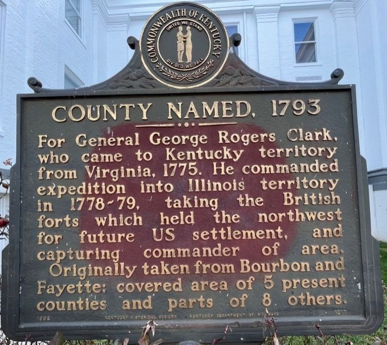
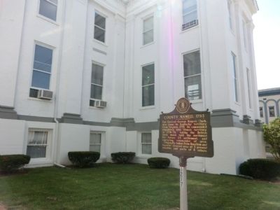
County Named 1793
Clark County
Erected 1968 by Kentucky Historical Society-Kentucky Department of Highways. (Marker Number 1217.)
Topics and series. This historical marker is listed in these topic lists: Government & Politics • War, US Revolutionary. In addition, it is included in the Kentucky Historical Society series list. A significant historical year for this entry is 1775.
Location. 37° 59.583′ N, 84° 10.65′ W. Marker is in Winchester, Kentucky, in Clark County. Marker is on Cleveland Street west of South Main Street (U.S. 60), on the left when traveling west. Touch for map. Marker is in this post office area: Winchester KY 40391, United States of America. Touch for directions.
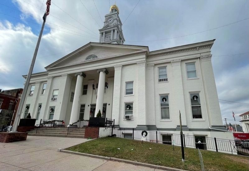
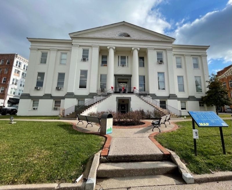
Other nearby markers. At least 8 other markers are within walking distance of this marker. Gov. James Clark Judicial Center (here, next to this marker); "Morgan's Men" Here (here, next to this marker); a different marker also named "Morgan's Men" Here (here, next to this marker); Clark County Courthouse (within shouting distance of this marker); Clark County War Memorial (within shouting distance of this marker); Vietnam War Memorial (within shouting distance of this marker); Downtown Commercial District (about 500 feet away, measured in a direct line); The Pastime Theater Disaster (about 500 feet away). Touch for a list and map of all markers in Winchester.
Credits. This page was last revised on January 7, 2021. It was originally submitted on August 16, 2013, by Don Morfe of Baltimore, Maryland. This page has been viewed 561 times since then and 25 times this year. Last updated on January 6, 2021, by Bradley Owen of Morgantown, West Virginia. Photos: 1. submitted on January 4, 2021, by Frank Profitt of Georgetown, Kentucky. 2. submitted on August 16, 2013, by Don Morfe of Baltimore, Maryland. 3, 4. submitted on January 4, 2021, by Frank Profitt of Georgetown, Kentucky. 5. submitted on August 16, 2013, by Don Morfe of Baltimore, Maryland. • Devry Becker Jones was the editor who published this page.
