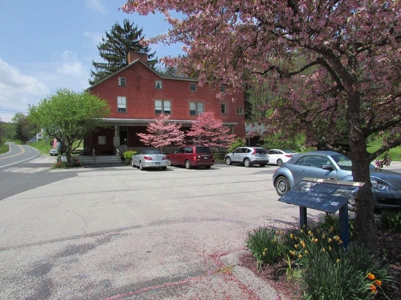
Franklin Township near Cashtown in Adams County, Pennsylvania — The American Northeast (Mid-Atlantic)
Roads West
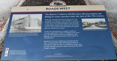
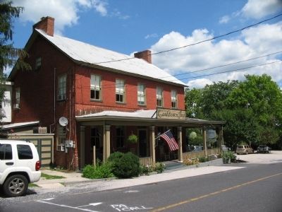
The historic Cashtown Inn has been offering lodging and dining to weary travelers since the turn of the 19th Century.
Roads were important to town development, just as the automobile was important to their prosperity. As roads brought travelers into the countryside, they needed places to stay and eat. Inns attracted businesses that served the traveling public, which, in turn, spurred the development of towns. After the birth of the automobile, more people than ever traveled for recreation.
In 1812, the construction of a turnpike's northwest extension spurred Peter Marks to build his brick tavern here. By 1821 Cashtown had been established, which allegedly received its name because Marks insisted on cash payments.
During the Civil war, Confederates passed by the Inn twice - in mid-October 1862 and during the Battle of Gettysburg in 1863. On July 5 a Confederate wagon train carrying the wounded men left Cashtown; the train was about 17 miles in length.
Erected by Lincoln Highway Heritage Corridor.
Topics and series. This historical marker is listed in these topic lists: Roads & Vehicles • War, US Civil. In addition, it is included in the Lincoln Highway series list. A significant historical month for this entry is July 2000.
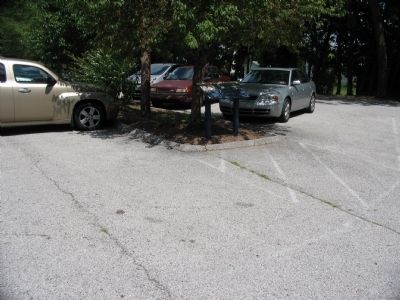
Location. 39° 53.076′ N, 77° 21.599′ W. Marker is near Cashtown, Pennsylvania, in Adams County. It is in Franklin Township. Marker is on Main Street (U.S. 30) 0.2 miles west of High Street, on the right when traveling west. Located in the Cashtown Inn parking lot. Touch for map. Marker is in this post office area: Cashtown PA 17310, United States of America. Touch for directions.
Other nearby markers. At least 8 other markers are within 2 miles of this marker, measured as the crow flies. Imboden's Brigade (within shouting distance of this marker); Cashtown Inn (within shouting distance of this marker); Gettysburg Campaign (within shouting distance of this marker); Cashtown (about 400 feet away, measured in a direct line); a different marker also named Cashtown (approx. 0.4 miles away); The Battle of Gettysburg: The Cashtown Road (approx. 1.2 miles away); Site of School House and Burial Ground (approx. 1.2 miles away); Traveling the Highway (approx. 1.3 miles away). Touch for a list and map of all markers in Cashtown.
Regarding Roads West. The marker was missing during a 2008 visit, but had been replaced by a September 2012 visit.
Also see . . .
1. Cashtown Inn. Civil War Ghosts website entry (Submitted on February 23, 2022, by Larry Gertner of New York, New York.)
2. The Lincoln Highway Heritage Corridor. (Submitted on June 3, 2009, by Christopher Busta-Peck of Shaker Heights, Ohio.)
Photographed By Brandon Fletcher, June 25, 2009
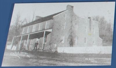
2. Inset
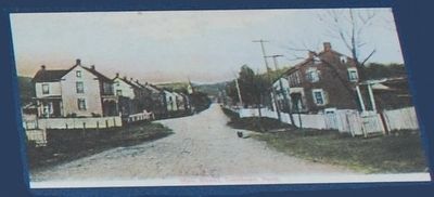
1895 photograph capturing the Old Hotel. During the early 20th century, it was a well known roadhouse, dance hall and restaurant, featuring chicken and waffles - the favorite meal of Lincoln Highway travelers. Cashtown Inn has been featured in the film Gettysburg and several books and videos.
Credits. This page was last revised on February 24, 2024. It was originally submitted on September 23, 2008, by Craig Swain of Leesburg, Virginia. This page has been viewed 2,136 times since then and 29 times this year. Last updated on February 21, 2021, by Carl Gordon Moore Jr. of North East, Maryland. Photos: 1, 2, 3. submitted on August 28, 2015, by Brandon Fletcher of Chattanooga, Tennessee. 4. submitted on September 23, 2008, by Craig Swain of Leesburg, Virginia. 5. submitted on June 23, 2011, by Larry Gertner of New York, New York. 6. submitted on April 21, 2017, by Bill Coughlin of Woodland Park, New Jersey. 7. submitted on September 23, 2008, by Craig Swain of Leesburg, Virginia. • J. Makali Bruton was the editor who published this page.
