Fort Washington in Prince George's County, Maryland — The American Northeast (Mid-Atlantic)
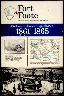
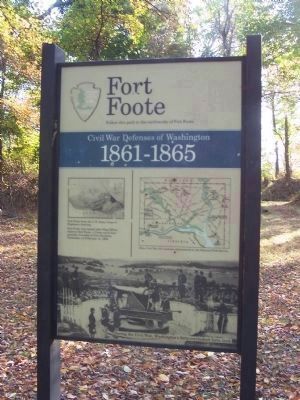
Fort Foote
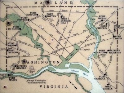
Civil War Defenses of Washington
— 1861-1865 —
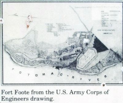
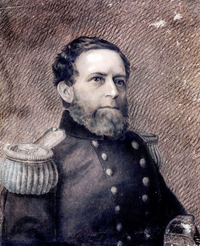
Fort Foot was named after Flag Officer Andrew Hull Foote, a Union naval hero mortally wounded at Fort Donelson, Tennessee, on February 14, 1862.
Erected by National Park Service.
Topics. This historical marker is listed in these topic lists: Forts and Castles • War, US Civil. A significant historical month for this entry is February 1814.
Location. This marker has been replaced by another marker nearby. It was located near 38° 46.05′ N, 77° 1.606′ W. Marker was in Fort Washington, Maryland, in Prince George's County. Marker could be reached from the intersection of Fort Foote Road and Jessica Drive, on the right when traveling south. Touch for map. Marker was at or near this postal address: 8901 Fort Foote Road, Fort Washington MD 20744, United States of America. Touch for directions.
Other nearby markers. At least 8 other markers are within walking distance of this location. Welcome To Fort Foote (here, next to this marker); Reporting for Duty (about 400 feet away, measured in a direct line); Another Shot (about 500 feet away); New Forts for a New War (about 500 feet away); Ironclad Killer (about 600 feet away); Engineering Evolution (about 700 feet away); Load. Ready. Fire! (about 800 feet away); Capital View (approx. 0.2 miles away). Touch for a list and map of all markers in Fort Washington.
Related marker. Click here for another marker that is related to this marker. New Marker At This Location titled "Welcome To Fort Foote".
Also see . . . Fort Foote. National Park Service (Submitted on June 17, 2014.)
Photographed By Allen C. Browne, September 18, 2011
8. Why was the fort built here?
Most of the forts that were built encircling Washington, D.C., during the early days of the Civil War, were earth and log structures, designed to be temporary field fortifications. Their purpose was to resist the attack of ground forces, such as infantry, cavalry, and artillery. But Fort Foote was built to protect Washington from a naval attack. Fort Washington, on the Potomac 16 miles south of Washington, was considered too far away to be adequately supported. So this site, just 6 miles south of Washington on Rozier's Bluff, 100 feet above the river, was considered an ideal location.Close-up of note on Bulletin Board at Fort Foote
Photographed By Allen C. Browne, September 18, 2011
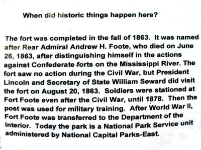
9. When did historic things happen here?
The fort was completed in the fall of 1863. It was named for Rear Admiral Andrew H. Foote, who died on June 26, 1863, after distinguishing himself in the actions against Confederate, forts on the Mississippi River. The fort saw no action during the Civil War, but President Lincoln and Secretary of State William Seward did visit the fort on August 20, 1863. Soldiers were stationed at Fort Foote even after the Civil War until 1878. Then the post was used for military training. After World War II, Fort Foote was transferred to the Department of the Interior. Today the park is a National Park service unit administered by National Capital Parks-East. Close-up of note on Bulletin Board at Fort Foote
Photographed By Allen C. Browne, September 18, 2011
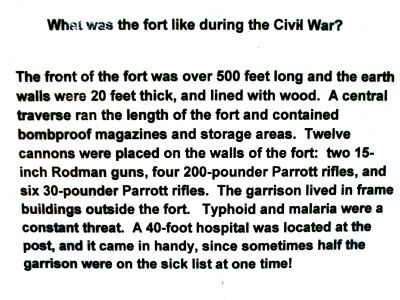
10. What was the fort like during the Civil War?
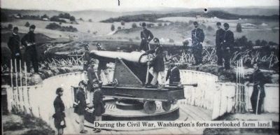
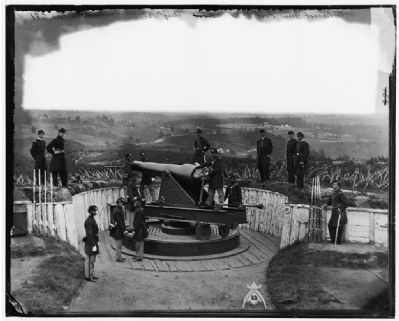
The front of the fort was over 500 feet long and the earth walls were 20 feet thick, and lined with wood. A central traverse ran the length of the fort and contained bombproof magazines and storage areas. Twelve cannons were placed on the walls of the fort: two 15-inch Rodman guns, four 200-pounder Parrott rifles, and six 30 pounder Parrott rifles. The garrison lived in frame buildings outside the fort. Typhoid and malaria were a constant threat. A 40-foot hospital was located at the post, and it came in handy, since sometimes half the garrison were on sick list at one time! Close-up of note on Bulletin Board at Fort Foote
Photographed By Allen C. Browne, September 18, 2011
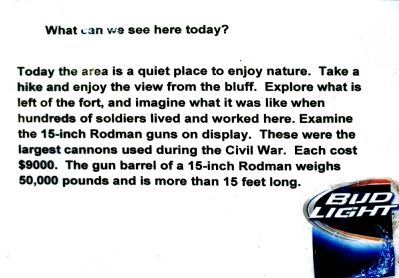
11. What can we see here today?
Today the area is a quiet place to enjoy nature. Take a hike and enjoy the view from the bluff. Explore what is left of the fort, and imagine what it was like when hundreds of soldiers lived and worked here. Examine the 15-inch Rodman guns on display. These were the largest cannons used during the Civil War. Each cost $9000. The gun barrel of a 15-inch Rodman weighs 50,000 pounds and is more than 15 feet long. Close-up of note on Bulletin Board at Fort Foote
Credits. This page was last revised on March 25, 2022. It was originally submitted on September 14, 2013, by Allen C. Browne of Silver Spring, Maryland. This page has been viewed 703 times since then and 13 times this year. Last updated on March 24, 2022, by Connor Olson of Kewaskum, Wisconsin. Photos: 1, 2, 3, 4, 5. submitted on September 14, 2013, by Allen C. Browne of Silver Spring, Maryland. 6. submitted on September 16, 2013, by Bernard Fisher of Richmond, Virginia. 7. submitted on January 13, 2021, by Allen C. Browne of Silver Spring, Maryland. 8, 9, 10, 11. submitted on September 14, 2013, by Allen C. Browne of Silver Spring, Maryland. • Bernard Fisher was the editor who published this page.
