Near Convoy in Van Wert County, Ohio — The American Midwest (Great Lakes)
Here Lies Robert Nesbitt / The Western Terminus of the Lincoln Highway in Ohio
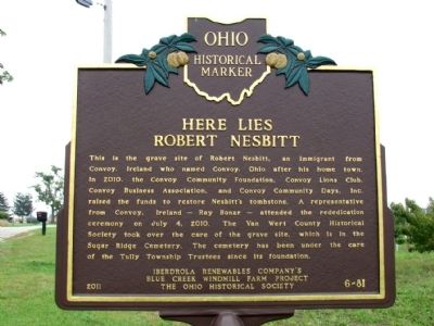
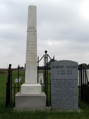
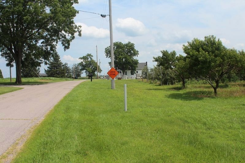
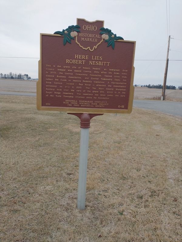
Here Lies Robert Nesbitt. This is the grave site of Robert Nesbitt, an immigrant from Convoy, Ireland who named Convoy, Ohio after his home town. In 2010, the Convoy Community Foundation, Convoy Lions Club, Convoy Business Association, and Convoy Community Days, Inc. raised the funds to restore Nesbitt's tombstone. A representative from Convoy, Ireland – Ray Bonar – attended the rededication ceremony on July 4, 2010. The Van Wert County Historical Society took over the care of the grave site, which is in the Sugar Ridge Cemetery. The cemetery has been under the care of the Tully Township Trustees since its foundation.
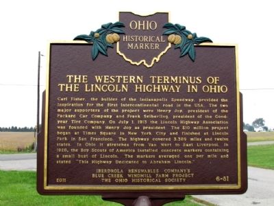
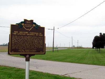
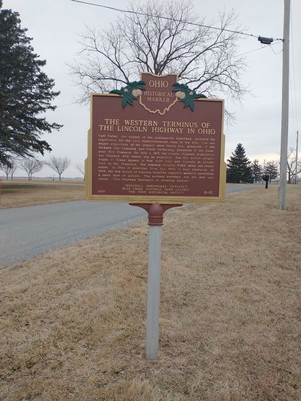
The Western Terminus of the Lincoln Highway in Ohio. Carl Fisher, the builder of the Indianapolis Speedway, provided the inspiration for the first intercontinental road in the USA. The two major supporters of the project were Henry Joy, president of the Packard Car Company and Frank Seiberling, president of the Goodyear Tire Company. On July 1, 1913 the Lincoln Highway Association was founded with Henry Joy as president. The $10 million project began at Times Square in New York City and finished at Lincoln Park in San Francisco. The highway covered 3,389 miles and twelve states. In Ohio it stretches from Van Wert to East Liverpool. In 1928, the Boy Scouts of America installed concrete markers containing a small bust of Lincoln. The markers averaged one per mile and stated "This Highway Dedicated to Abraham Lincoln."
Erected 2011 by Iberdrola Renewables Company's Blue Creek Windmill Farm Project and the Ohio Historical Society. (Marker Number 6-81.)
Topics and series. This historical marker is listed in these topic lists: Roads & Vehicles • Settlements & Settlers. In addition, it is included in the Lincoln Highway, and the Ohio Historical Society / The Ohio History Connection series lists. A significant historical month for this entry is July 1992.
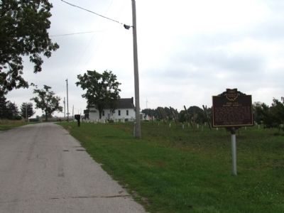
Location. 40° 56.319′ N, 84° 41.945′ W. Marker is near Convoy, Ohio, in Van Wert County. Marker is at the intersection of Lincoln Highway and Pollock Road, on the right when traveling north on Lincoln Highway. Touch for map. Marker is in this post office area: Convoy OH 45832, United States of America. Touch for directions.
Other nearby markers. At least 8 other markers are within 7 miles of this marker, measured as the crow flies. Robert Nesbit (within shouting distance of this marker); Veterans Memorial (approx. half a mile away); Convoy Opera House / City Hall / Firehouse (approx. 1.6 miles away); Pancake-Richey-Reidenbach Cemetery (approx. 5.8 miles away); Woodlawn Union Cemetery Veterans Memorial (approx. 6˝ miles away); Civil War Soldiers and Sailors Monument
(approx. 6.7 miles away); Company D, 2nd Ohio Volunteer Infantry Monument (approx. 6.7 miles away); a different marker also named Veterans Memorial (approx. 6.8 miles away). Touch for a list and map of all markers in Convoy.
Also see . . . Lincoln Highway Association Official Website. (Submitted on October 5, 2013.)
Credits. This page was last revised on February 6, 2022. It was originally submitted on October 5, 2013, by Duane Hall of Abilene, Texas. This page has been viewed 1,065 times since then and 67 times this year. Last updated on August 1, 2021, by Robert Baughman of Bellefontaine, Ohio. Photos: 1, 2, 3, 4, 5. submitted on October 5, 2013, by Duane Hall of Abilene, Texas. 6. submitted on August 1, 2021, by Robert Baughman of Bellefontaine, Ohio. 7, 8. submitted on January 24, 2022, by Craig Doda of Napoleon, Ohio. • Devry Becker Jones was the editor who published this page.
