Near Limestone in Washington County, Tennessee — The American South (East South Central)
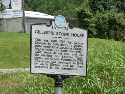
Gillespie Stone House
Erected by Tennessee Historical Commission. (Marker Number 1A 74.)
Topics and series. This historical marker is listed in these topic lists: Patriots & Patriotism • Settlements & Settlers. In addition, it is included in the Quakerism, and the Tennessee Historical Commission series lists. A significant historical year for this entry is 1792.
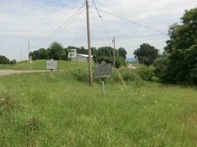
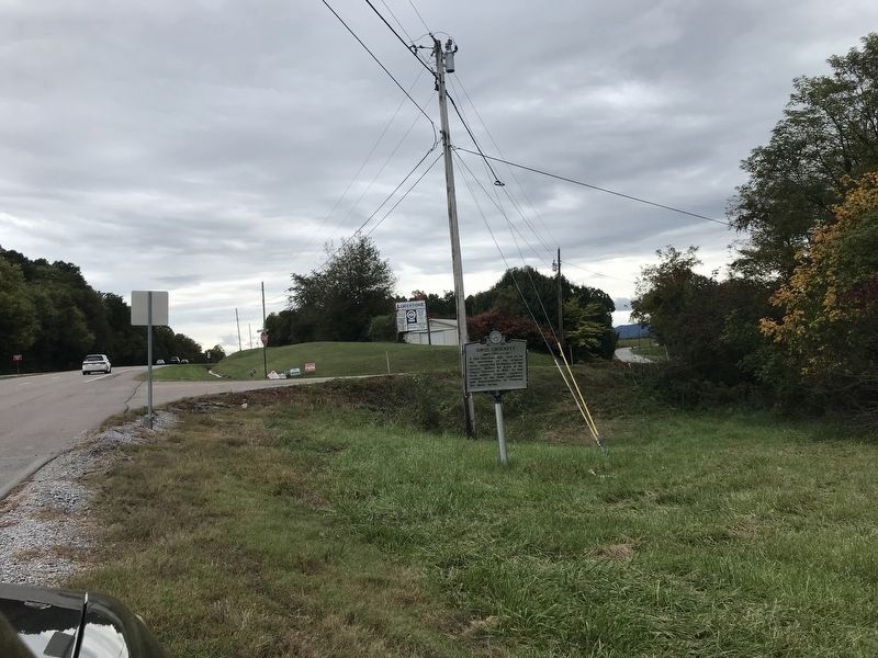
Location. Marker has been reported missing. It was located near 36° 13.875′ N, 82° 39.128′ W. Marker was near Limestone, Tennessee, in Washington County. Marker was at the intersection of East Andrew Johnson Highway and Old Heritage Road, on the right when traveling east on East Andrew Johnson Highway. Touch for map. Marker was in this post office area: Limestone TN 37681, United States of America. Touch for directions.
Other nearby markers. At least 8 other markers are within 2 miles of this location, measured as the crow flies. David Crockett (here, next to this marker); Washington County / Greene County (approx. half a mile away); Battle of Limestone Station (approx. 1.2 miles away); Eye-Witness to a Near Tragedy (approx. 1½ miles away); Unionist Stronghold (approx. 1.6 miles away); Crockett (approx. 1.8 miles away); The Real Likeness of David Crockett (approx. 1.8 miles away); Crockett’s Tennessee Westward Movement (approx. 1.8 miles away). Touch for a list and map of all markers in Limestone.
Credits. This page was last revised on October 19, 2020. It was originally submitted on October 22, 2013. This page has been viewed 881 times since then and 71 times this year. Last updated on October 18, 2020, by Duane and Tracy Marsteller of Murfreesboro, Tennessee. Photos: 1, 2. submitted on October 22, 2013, by Don Morfe of Baltimore, Maryland. 3. submitted on October 18, 2020, by Duane and Tracy Marsteller of Murfreesboro, Tennessee. • J. Makali Bruton was the editor who published this page.


