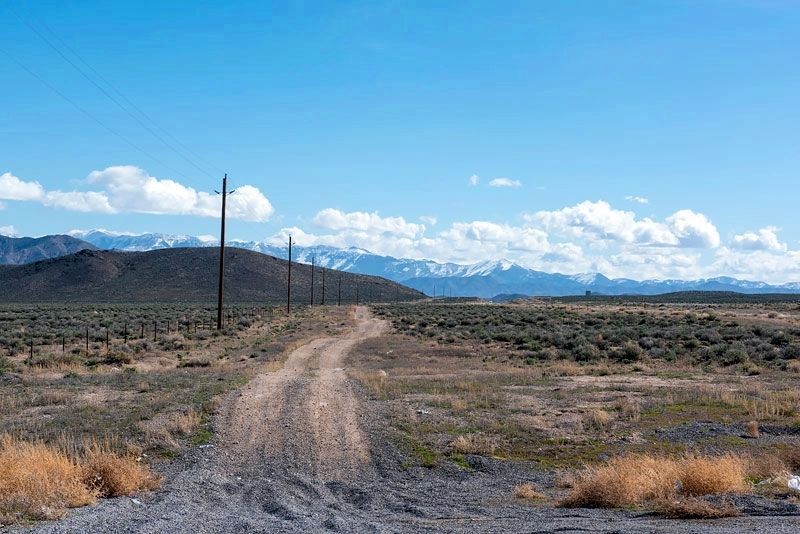
Near Fallon in Churchill County, Nevada — The American Mountains (Southwest)
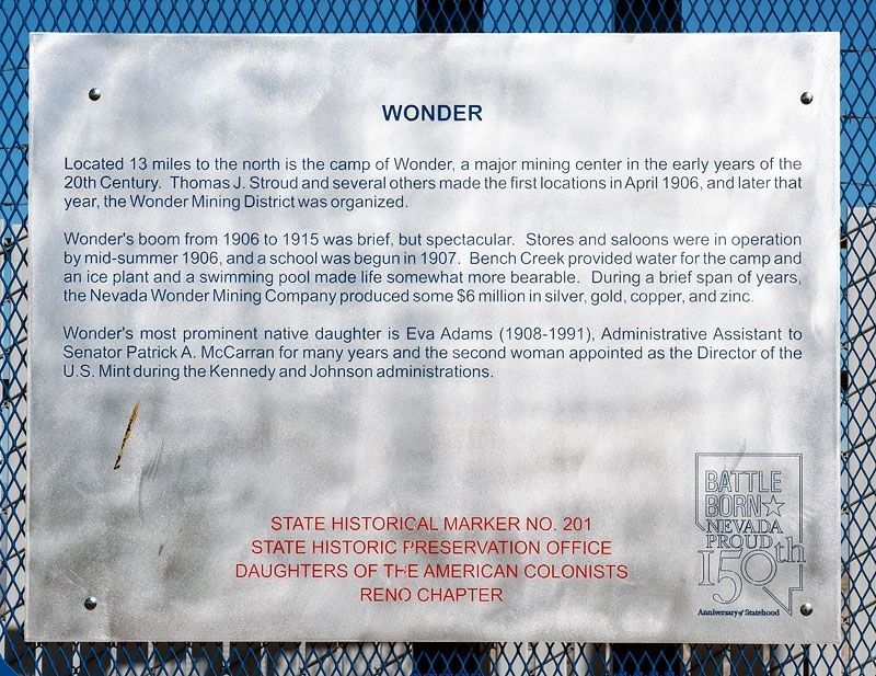
Wonder
Historic Mining Camp
— 1906 - 1919 —
Located 13 miles to the north is the camp of Wonder, a major mining center in the early years of the twentieth century. Thomas J. Stroud and several others made the first locations in March 1906, and in June of that year the Wonder Mining District was organized.
Wonder’s boom was brief, but spectacular. Stores and saloons were in operation by mid-summer, 1906, and a school was begun in 1907. Bench Creek provided water for the camp and an ice plant and a swimming pool made life somewhat more bearable. During a brief span of years, the Nevada Wonder Mining Company produced some $6,000,000 in silver, gold, copper, and zinc.
Wonder’s most prominent native daughter is Eva Adams, Administrative Assistant to Senator Patrick A. McCarran for many years and Director of the U.S. Mint during the Kennedy and Johnson administrations.
Erected by State Historic Preservation Office; Daughters of the American Colonists, Reno Chapter. (Marker Number 201.)
Topics and series. This historical marker is listed in this topic list: Settlements & Settlers. In addition, it is included in the Daughters of the American Colonists, the Former U.S. Presidents: #35 John F. Kennedy, and the Former U.S. Presidents: #36 Lyndon B. Johnson series lists. A significant historical month for this entry is March 1906.
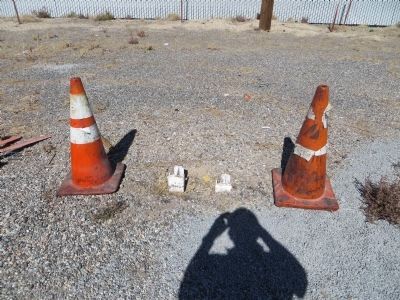
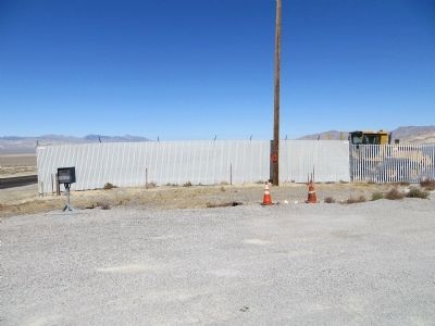
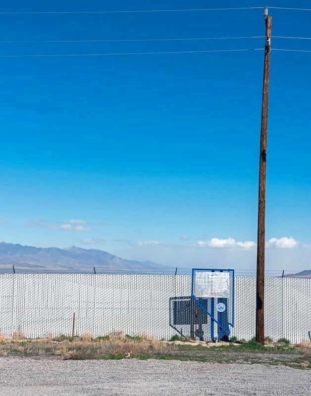
Location. Marker has been reported missing. It was located near 39° 17.225′ N, 118° 9.727′ W. Marker was near Fallon, Nevada, in Churchill County. Marker was on U.S. 50 at milepost 61.5, on the right when traveling west. Touch for map. Marker was in this post office area: Fallon NV 89406, United States of America. Touch for directions.
Other nearby markers. At least 5 other markers are within 8 miles of this location, measured as the crow flies. Fairview Peak Earthquake Faults (approx. 1.8 miles away); Fairview (approx. 2.8 miles away); Measuring Earthquakes (approx. 5.3 miles away); Central Overland Trail - Westgate Station (approx. 5.8 miles away); Middlegate Station (approx. 7.2 miles away).
Credits. This page was last revised on November 2, 2020. It was originally submitted on October 23, 2013, by Bill Kirchner of Tucson, Arizona. This page has been viewed 751 times since then and 40 times this year. Photos: 1. submitted on November 1, 2020, by Alvis Hendley of San Francisco, California. 2, 3. submitted on October 23, 2013, by Bill Kirchner of Tucson, Arizona. 4, 5. submitted on November 1, 2020, by Alvis Hendley of San Francisco, California. • Syd Whittle was the editor who published this page.
