Petersburg, Virginia — The American South (Mid-Atlantic)
Ventilation Shaft
Petersburg National Battlefield
Inscription.
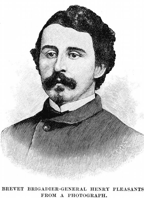
“Regular Army wiseacres said it was not feasible—that I could not carry the ventilation that distance without digging a hole to the surface… But I have succeeded.”
- Lt. Col. Henry Pleasants, 48th Pennsylvania July 23, 1864
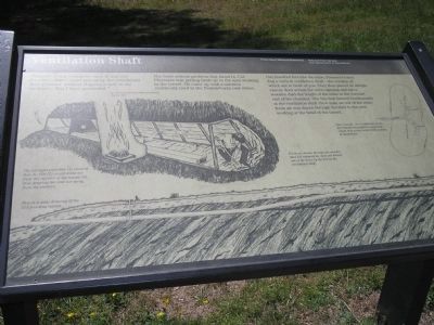
The most serious problem that faced Lt. Col. Pleasants was getting fresh air to the men working in the tunnel. He came up with a solution commonly used in the Pennsylvania coal mines.
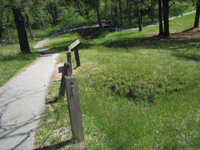
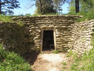
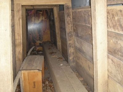
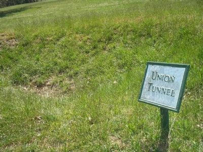
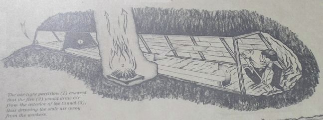
One hundred feet into the mine, Pleasants’s men dug a vertical ventilation shaft—the remains of which are in front of you. They then placed an airtight canvas door across the mine opening and ran a wooden duct the length of the mine to the forward end of the chamber. The fire that burned continuously at the ventilation shaft drew stale air out of the mine; fresh air was drawn through the duct to the men working at the head of the tunnel.
(captions)
The air-tight partition (1) ensured that the fire (2) would draw air from the interior of the tunnel (3), thus drawing the stale air away from the workers.
Fresh air drawn through the wooden duct (4) replaced the stale drawn out of the mine by the fire at the ventilation shaft.
Once beneath the Confederate works, the Federals dug lateral magazines, which they packed with 8,000 pound of gunpowder.
This is a scale drawing of the 511-foot-long tunnel.
Erected by National Park Service, U.S. Department of the Interior.
Topics. This historical marker is listed in this topic list: War, US Civil. A significant historical date for this entry is July 23, 1778.
Location. 37° 13.149′ N, 77° 22.587′ W. Marker is in Petersburg, Virginia. Marker can be reached from Siege Road, on the right when traveling south. Marker is in Petersburg National Battlefield. It is located on a walking trail that starts at Tour Stop 8. Touch for map. Marker is in this post office area: Petersburg VA 23803, United States of America. Touch for directions.
Other nearby markers. At least 8 other markers are within walking distance of this marker. Digging the Mine (within shouting distance of this marker); The Crater (about 400 feet away, measured in a direct line); “A Stupendous Failure” (about 400 feet away); Confederate Counterattack (about 400 feet away); Crater of Mine (about 400 feet away); Confederate Countermine (about 400 feet away); The Struggle Across Poor Creek (about 400 feet away); Union High Tide (about 500 feet away). Touch for a list and map of all markers in Petersburg.
Also see . . .
1. Battle of The Crater. Petersburg National Battlefield, National Park Service website entry (Submitted on April 13, 2008, by Bill Coughlin of Woodland Park, New Jersey.)
2. The Battle of the Crater: July 30, 1864. The Siege of Petersburg Online. (Submitted on April 13, 2008.)
Credits. This page was last revised on February 2, 2023. It was originally submitted on April 13, 2008, by Bill Coughlin of Woodland Park, New Jersey. This page has been viewed 1,368 times since then and 16 times this year. Last updated on August 30, 2021, by Bradley Owen of Morgantown, West Virginia. Photos: 1, 2, 3, 4, 5. submitted on April 13, 2008, by Bill Coughlin of Woodland Park, New Jersey. 6. submitted on September 17, 2020, by Allen C. Browne of Silver Spring, Maryland. 7. submitted on April 13, 2008, by Bill Coughlin of Woodland Park, New Jersey. • Bernard Fisher was the editor who published this page.
