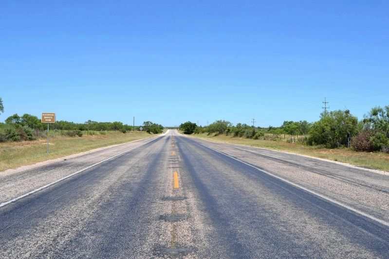
Near Ballinger in Runnels County, Texas — The American South (West South Central)
Pickettville
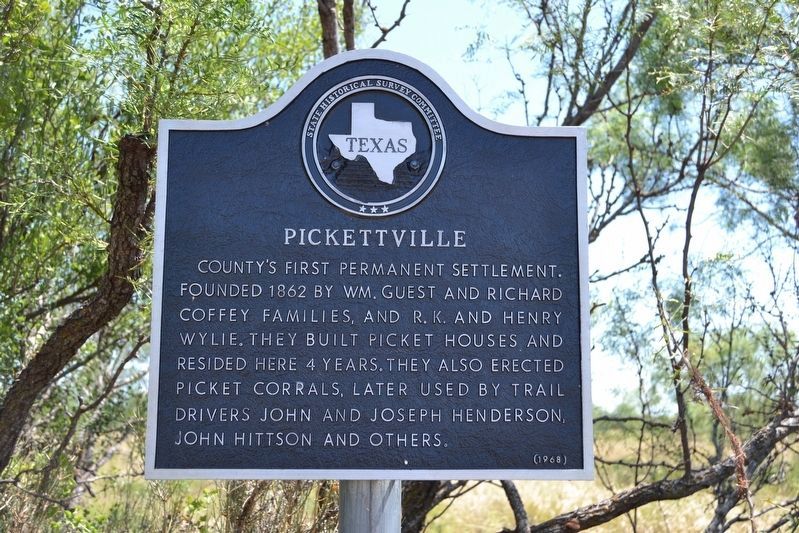
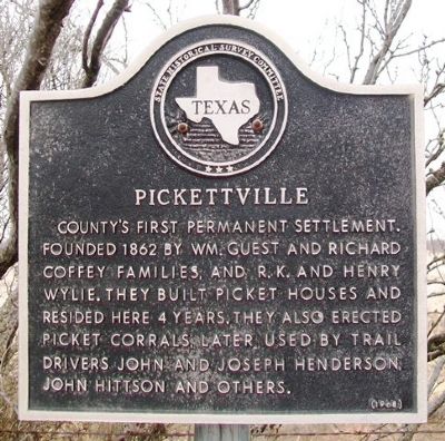
County's first permanent settlement. Founded 1862 by Wm. Guest and Richard Coffey families, and R. K. and Henry Wylie. They built Picket houses and resided here 4 years. They also erected Picket corrals, later used by trail drivers John and Joseph Henderson, John Hittson and others.
Erected 1973 by State Historical Survey Committee. (Marker Number 4872.)
Topics. This historical marker is listed in this topic list: Settlements & Settlers. A significant historical year for this entry is 1862.
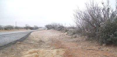
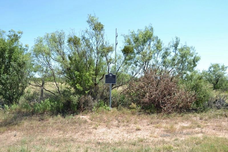
Location. 31° 45.048′ N, 99° 55.204′ W. Marker is near Ballinger, Texas, in Runnels County. Marker is on U.S. 67, on the right when traveling east. Marker is at a roadside pullout about 1.5 miles east of Ballinger. Touch for map. Marker is in this post office area: Ballinger TX 76821, United States of America. Touch for directions.
Other nearby markers. At least 8 other markers are within 2 miles of this marker, measured as the crow flies. Runnels County Courthouse (approx. 1.7 miles away); Runnels County (approx. 1.7 miles away); Company C, 142nd Infantry Regiment, 36th Division (approx. 1.8 miles away); Runnels County Veterans Memorial (approx. 1.8 miles away); Abilene & Southern Depot (approx. 1.8 miles away); Charles H. Noyes (approx. 1.8 miles away); Ballinger (approx. 1.8 miles away); First Presbyterian Church (approx. 1.8 miles away). Touch for a list and map of all markers in Ballinger.
Also see . . . Runnels County, Texas. (Submitted on March 13, 2014, by William Fischer, Jr. of Scranton, Pennsylvania.)
Additional keywords. ghost towns
Credits. This page was last revised on August 2, 2021. It was originally submitted on March 13, 2014, by William Fischer, Jr. of Scranton, Pennsylvania. This page has been viewed 789 times since then and 96 times this year. Last updated on August 1, 2021, by Joe Lotz of Denton, Texas. Photos: 1. submitted on July 24, 2016, by Duane Hall of Abilene, Texas. 2, 3. submitted on March 13, 2014, by William Fischer, Jr. of Scranton, Pennsylvania. 4, 5. submitted on July 24, 2016, by Duane Hall of Abilene, Texas. • J. Makali Bruton was the editor who published this page.
