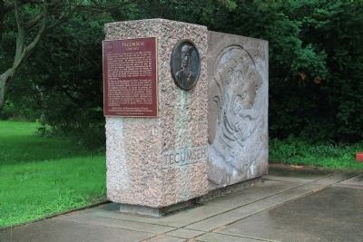
Near Thamesville in Chatham-Kent, Ontario — Central Canada (North America)
Assault on Backmetack Marsh
Tuesday, October 5, 1813, 4:00 p.m.
— Tecumseh Parkway —
Inscription.
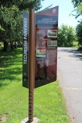
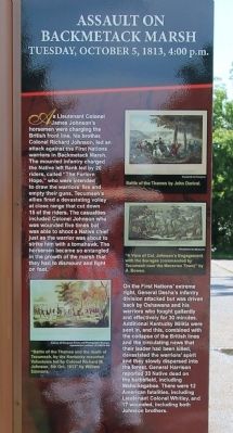
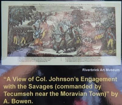
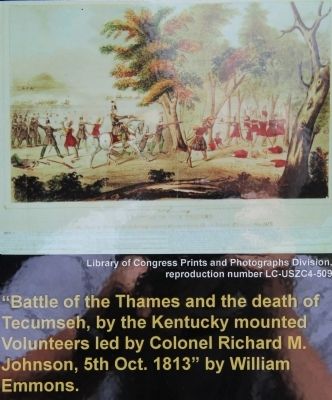
As Lieutenant Colonel James Johnson's horsemen were charging the British front line, his brother, Colonel Richard Johnson led an attack against the First Nations warriors in Backmetack Marsh. The mounted infantry charged the Native left flank led by 20 riders, called "The Forlorn Hope," who were intended to draw the warriors' fire and empty their guns. Tecumseh's allies fired a devastating volley at close range that cut down 15 of the riders. The casualties included Colonel Johnson who was wounded five times but was able to shoot a Native chief just as the warrior was about to strike him with a tomahawk. The horsemen became so entangled in the growth of the marsh that they had to dismount and fight on foot.
On the First Nations' extreme right, General Desha's infantry division attacked but was driven back by Oshawana and his warriors who fought gallantly and effectively for 30 minutes. Additional Kentucky Militia were sent in, and this, combined with the collapse of the British lines and the circulating news that their leader had been killed, devastated the warriors' spirit and they slowly dispersed into the forest. General Harrison reported 33 Native dead on the battlefield, including Wahsikegaboe. There were 12 American fatalities, including Lieutenant Colonel Whitley, and 17 wounded, including both Johnson brothers.
Erected by Tecumseh Parkway.
Topics. This historical marker is listed in these topic lists: Colonial Era • Native Americans • War of 1812.
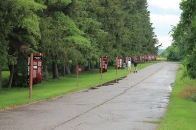
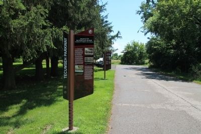
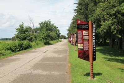
Location. 42° 33.844′ N, 81° 55.847′ W. Marker is near Thamesville, Ontario, in Chatham-Kent. Marker can be reached from Longwoods Road (Provincial Highway 2) 4.2 kilometers east of Victoria Road (Provincial Highway 21), on the right when traveling east. The historical marker is located in a Historical Park, that commemorates the Battle of the Thames, along the east side of a park roadway with a long series of Tecumseh Parkway markers. Touch for map. Marker is at or near this postal address: 14376 Longwoods Road, Thamesville ON N0P 2K0, Canada. Touch for directions.
Other nearby markers. At least 8 other markers are within walking distance of this marker. The Bugles Sound (a few steps from this marker); The Death of Tecumseh (a few steps from this marker); Participants in the Battle of the Thames (a few steps from this marker); a different marker also named Participants in the Battle of the Thames (within shouting distance of this marker); a different marker also named Participants in the Battle of the Thames (within shouting distance of this marker); a different marker also named Participants in the Battle of the Thames (within shouting
distance of this marker); a different marker also named Participants in the Battle of the Thames (within shouting distance of this marker); a different marker also named Participants in the Battle of the Thames (about 90 meters away, measured in a direct line). Touch for a list and map of all markers in Thamesville.
Photographed By Dale K. Benington, July 23, 2013
6. Assault on Backmetack Marsh Marker
A close-up view of a print of the "Battle of the Thames and the death of Tecumseh, by the Kentucky mounted Volunteers led by Colonel Richard M. Johnson, 5th Oct. 1813" by William Emmons, that is displayed on the historical marker.
Credits. This page was last revised on October 3, 2023. It was originally submitted on March 18, 2014, by Dale K. Benington of Toledo, Ohio. This page has been viewed 665 times since then and 24 times this year. Last updated on October 2, 2023, by Carl Gordon Moore Jr. of North East, Maryland. Photos: 1, 2, 3, 4, 5, 6, 7, 8, 9, 10. submitted on March 18, 2014, by Dale K. Benington of Toledo, Ohio. • Bill Pfingsten was the editor who published this page.
