Birmingham Township near West Chester in Chester County, Pennsylvania — The American Northeast (Mid-Atlantic)
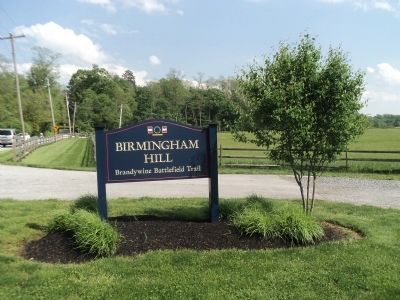
Birmingham Hill
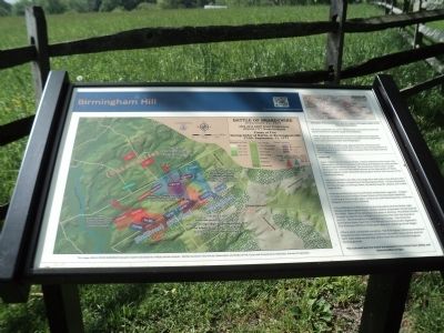
• At 4 am, September 11, 1777, British troops marched from Kennett Square towards the colonial capital of Philadelphia.
• Gen. Washington positioned many of his 13,000 troops along the eastern side of the Brandywine Creek at Chadds Ford to defend the main road north to Chester and Philadelphia.
• As Gen. Howe’s 15,000 troops approached the American front, Cornwallis’ division marched 8 miles north to cross the Brandywine at Jefferis Ford and attack Washington’s position from the flank and rear from Osborne Hill.
--------------------------------------------------------
Battle Hill
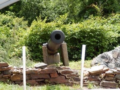
• 2pm: Responding to reports of Gen. Howe’s division to the north, Gen. Washington ordered the divisions of Stirling and Stephen to move toward the Birmingham Meeting House. The Americans tried to form a solid defensive line. The Civil War Naval cannon at the intersection of Wylie and Birmingham roads represents the position of four 3-lb cannons of the Continental Army.
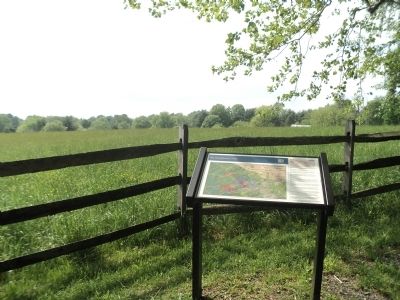
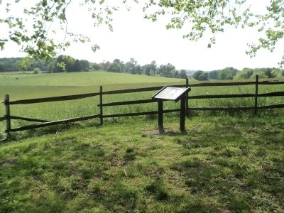
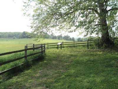
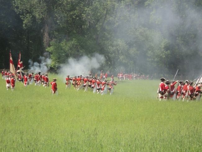
• Across the field to the left is the large hill a half-mile in the distance that Sullivan’s division climbed from the Brandywine River. As they attempted to close the gap on Stirling’s flank, the British Guards’ artillery and musket opened fire.
• You are positioned near the left flank of Marshall’s regiment. Imagine no trees across the field to Street Road and the Grenadier Battalions marching at arms length apart, toward you with fixed bayonets, while the Brigade of Guards move forward.
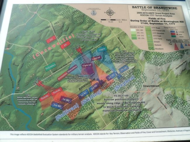
• The Continental artillery fired on the Grenadiers and the British Light Infantry on Birmingham Road. British artillery responded. Smoke layered the fields. Parts of the American line were in disarray. The British Guards charged up the hill and Sullivan’s Continentals fled with the Guards in pursuit. The Grenadiers charged Stirling’s troops. Five times the Grenadiers drove them from the hill and the Continentals regained it. The American left flank finally gave way and a fighting retreat began.
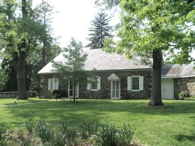
• There were substantial casualties. The Birmingham Meeting served as a hospital for both American and British wounded. Many of the dead on both sides were buried near where they fell and in the Birmingham burying ground.
The colonists lost the battle but proved to the British their ability and determination to fight.
Topics. This historical marker is listed in this topic list: War, US Revolutionary. A significant historical date for this entry is September 11, 1777.
Location. 39° 54.238′ N, 75° 35.598′ W. Marker is near West Chester, Pennsylvania, in Chester County. It is in Birmingham Township. Marker is on S. Birmingham Road south of Meetinghouse Road, on the right when traveling south. Touch for map. Marker is in this post office area: West Chester PA 19382, United States of America. Touch for directions.
Other nearby markers. At least 8 other markers are within walking distance of this marker. The Battle of the Brandywine Foot Soldiers (within shouting distance of this marker); Crisis on the Field of Battle, Sept. 11, 1777 (about 300 feet away, measured in a direct line); On This Native Stone (about 700 feet away); First Defense Line (about 700 feet away); In Memory of Those Who Fell (about 700 feet away); The Friends School at Birmingham Meeting House (about 700 feet away); Birmingham Friends Meeting House (about 700 feet away); The Peace Garden at Birmingham (about 800 feet away). Touch for a list and map of all markers in West Chester.
More about this marker. A map on the left side of the marker shows the Fields of Fire during Order of Battle at Birmingham Hill 17:00, September 11, 1777.
Also see . . .
1. History of the Battle of the Brandywine. Brandywine Battlefield website. (Submitted on May 17, 2014, by Bill Coughlin of Woodland Park, New Jersey.)
2. The Battle of Brandywine. September 11, 1777 at Brandywine, Pennsylvania. The American Revolutionary War website. (Submitted on May 17, 2014, by Bill Coughlin of Woodland Park, New Jersey.)
3. The Battle of Brandywine Creek 1777.
A British perspective of the battle from BritishBattles.com. (Submitted on May 17, 2014, by Bill Coughlin of Woodland Park, New Jersey.)
Credits. This page was last revised on February 7, 2023. It was originally submitted on May 17, 2014, by Bill Coughlin of Woodland Park, New Jersey. This page has been viewed 1,073 times since then and 44 times this year. Last updated on September 29, 2021, by Carl Gordon Moore Jr. of North East, Maryland. Photos: 1, 2. submitted on May 17, 2014, by Bill Coughlin of Woodland Park, New Jersey. 3. submitted on July 4, 2015, by Don Morfe of Baltimore, Maryland. 4, 5, 6, 7, 8, 9. submitted on May 17, 2014, by Bill Coughlin of Woodland Park, New Jersey. • J. Makali Bruton was the editor who published this page.
