Smithfield in Isle of Wight County, Virginia — The American South (Mid-Atlantic)
Battle of Smithfield
The Town that Wouldn’t Surrender
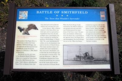
Smithfield was the only town in the Hampton Roads/Tidewater region not occupied by Union forces during the 1862 Peninsula Campaign. Todd's Battery, defending the Pagan River at Battery Park, had been destroyed and Confederate soldiers had evacuated the town.
In late January 1864, a Federal steamer on the James River was fired upon and run aground by a Confederate force from the Isle of Wight shore. Immediately, the Union retaliated by sending the gunboat, Smith-Briggs, to Smithfield. The vessel disembarked 90 soldiers at the old abandoned shipyard at the foot of Church Street. The troops marched inland, skirmished with local Confederates, then returned to Smithfield, only to find that the Smith-Briggs had not returned to retrieve them. The next day, February 1, 1864, the Confederates disputed the Union retreat by positioning two cannon, one at the county dock and the other at the foot of Church Street.
When the Smith-Briggs finally returned for the Federal soldiers it was greeted with shot and shell, one of which pierced the steam drum of the Union vessel. The gunboat, now disabled, drifted away from the wharf into a mud bank on the opposite side of the Pagan River and surrendered. The Smith-Briggs was set on fire. When the flames reached the magazine with its two tons of gun powder, the vessel was blown to pieces. Before the explosion, however, a local Confederate went aboard and wrenched the gilded eagle from the pilothouse as a trophy of war. The eagle remains a proud symbol of one Southern town that refused to surrender to the Northern invaders.
(captions)
(upper left) Gilded eagle from the USS Smith-Briggs pilothouse. Courtesy of Isle of Wight Museum
(lower right) USS Smith-Briggs - Courtesy of Isle of Wight Museum
Erected by Virginia Civil War Trails.
Topics and series. This historical marker is listed in these topic lists: War, US Civil • Waterways & Vessels. In addition, it is included in the Virginia Civil War Trails series list. A significant historical date for this entry is February 1, 1864.
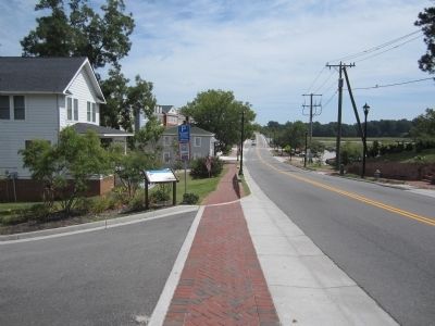
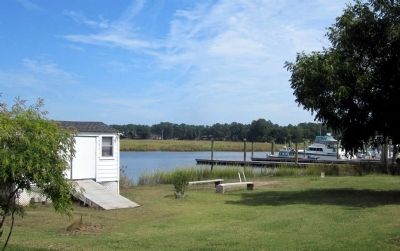
Location. Marker is missing. It was located near 36° 58.932′ N, 76° 37.474′ W. Marker was in Smithfield, Virginia, in Isle of Wight County. Marker was on South Church Street (Business Virginia Route 10) 0.2 miles east of Jericho Road, on the left when traveling east. Touch for map. Marker was in this post office area: Smithfield VA 23430, United States of America. Touch for directions.
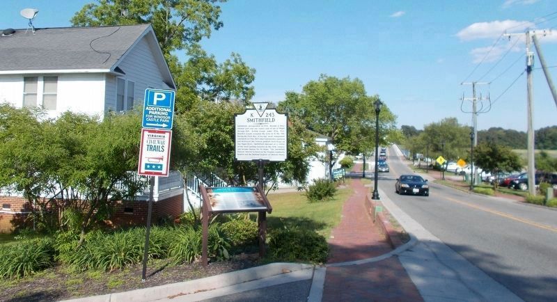
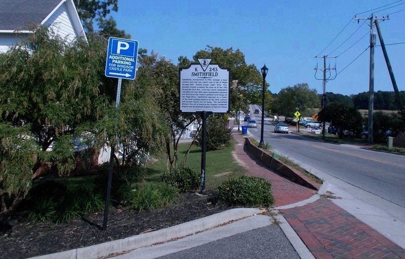
Other nearby markers. At least 8 other markers are within walking distance of this location. Smithfield (here, next to this marker); Kitchen and Laundry (approx. ¼ mile away); Smokehouse (approx. ¼ mile away); Welcome to Windsor Castle Park (approx. ¼ mile away); Farm Manager's Office (approx. 0.3 miles away); The Todd House & the First Smithfield Ham (approx. 0.3 miles away); Founding Site of Smithfield Packing Company (approx. 0.4 miles away); Bricks in the Crosswalk (approx. 0.4 miles away). Touch for a list and map of all markers in Smithfield.
More about this marker. Revision, September 27, 2020: In 2014* or sometime thereafter, the Department of Historic Resources installed a “new” K-243 marker, Smithfield (dbm 98254), nearby (Exhibit B). This Civil War Trails marker, Battle of Smithfield (dbm 76763), was missing on Sept. 23, 2020 (Exhibit A). *The date inscribed on DHR markers specifies the year in which they are approved, which is not necessarily the year of erection. (by Cynthia L. Clark)
Credits. This page was last revised on October 2, 2020. It was originally submitted on September 1, 2014, by Bernard Fisher of Richmond, Virginia. This page has been viewed 963 times since then and 80 times this year. Last updated on September 27, 2020, by Cynthia L. Clark of Suffolk, Virginia. Photos: 1, 2. submitted on September 1, 2014, by Bernard Fisher of Richmond, Virginia. 3, 4. submitted on September 27, 2020, by Cynthia L. Clark of Suffolk, Virginia. 5. submitted on September 1, 2014, by Bernard Fisher of Richmond, Virginia.
