Maumee in Lucas County, Ohio — The American Midwest (Great Lakes)
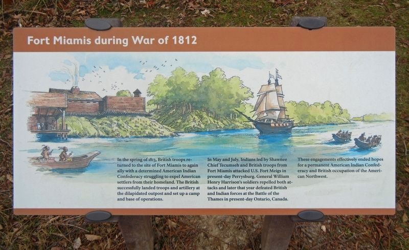
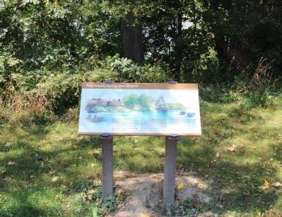
Fort Miamis During the War of 1812
In the spring of 1813, British troops returned to the site of Fort Miamis to again ally with a determined American Indian Confederacy struggling to expel American settlers from their homeland. The British successfully landed troops and artillery at the dilapidated outpost and set up a camp and base of operations.
In May and July, Indians led by Shawnee Chief Tecumseh and British troops from Fort Miamis attacked U.S. Fort Meigs in present-day Perrysburg. General William Henry Harrison's soldiers repelled both attacks and later that year defeated British and Indian forces at the Battle of the Thames in present-day Ontario, Canada.
These engagements effectively ended hopes for a permanent American Indian Confederacy and British occupation of the American Northwest.
Topics and series. This historical marker is listed in these topic lists: Forts and Castles • Native Americans • War of 1812. In addition, it is included in the Former U.S. Presidents: #09 William Henry Harrison series list. A significant historical year for this entry is 1813.
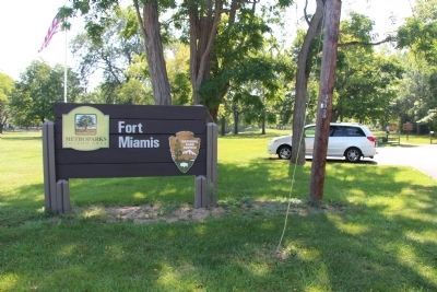
Location. Marker has been reported permanently removed. It was located near 41° 34.33′ N, 83° 37.573′ W. Marker was in Maumee, Ohio, in Lucas County. Marker could be reached from River Road near Michigan Avenue. This historical marker is located where Michigan Avenue. dead ends into River Road, on the river side of River Road, in a small, Lucas County MetroPark, which is situated along the west side of the Maumee River. The marker is situated along the lone park walking path that leads from the parking lot to the site of the old fort's earthworks. Touch for map. Marker was at or near this postal address: 1900 River Road, Maumee OH 43537, United States of America.
We have been informed that this sign or monument is no longer there and will not be replaced. This page is an archival view of what was.
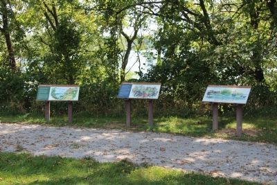
Other nearby markers. At least 8 other markers are within walking distance of this location. A Shattered Truce (here, next to this marker); Running A Gauntlet (here, next to this marker); Old Fort, New Battle (here, next to this marker); The Formidable Fort Miamis (about 300 feet away, measured in a direct line); 41st Regiment of Foot - War of 1812 / Private Patrick Russell (about 400 feet away); Fallen Timbers Battlefield and Fort Miamis National Historic Site (about 400 feet away); Letters From 1794 / A Strategic Location (about 400 feet away); The Great Trail (approx. 0.3 miles away). Touch for a list and map of all markers in Maumee.
Credits. This page was last revised on October 25, 2021. It was originally submitted on September 4, 2014, by Dale K. Benington of Toledo, Ohio. This page has been viewed 519 times since then and 18 times this year. Last updated on May 14, 2021, by Craig Doda of Napoleon, Ohio. Photos: 1. submitted on October 25, 2021, by Duane and Tracy Marsteller of Murfreesboro, Tennessee. 2, 3, 4. submitted on September 5, 2014, by Dale K. Benington of Toledo, Ohio. • Devry Becker Jones was the editor who published this page.


