St. Catharines in Niagara Region, Ontario — Central Canada (North America)
St. Catharines
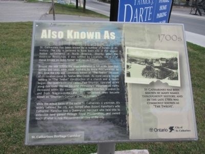
Also Known As
— St. Catharines Heritage Corridor —
Around the late 1700s the area underwent a full scale township survey and lands were made available by Royal Proclamation. At this time the city was commonly known as "The Twelve" because of its location close to Twelve Mile Creek. As more people began settling "The Twelve" construction of a church and a tavern began. The tavern's second owner, Paul Shipman, operated an inn along this route. His inn became increasingly important as traffic increased within the community and stage coaches traveled to and from Niagara-on-the-Lake. This settlement then became known as "Shipman's Corners" or "The Corners."
While the actual basis of the name St. Catharines is unknown, it's widely belived the city was named afer Robert Hamilton's wife Catharine. Hamilton was a Queenston merchant who held title to extensive land gained through Royal Proclaimation, and owned much of what is now the commercial core of the city.
St. Catharines has been known by many names throughout history, and in the late 1700s was commonly known as "The Twelve."
Erected by City of St. Catharines.
Topics. This historical marker is listed in this topic list: Settlements & Settlers.
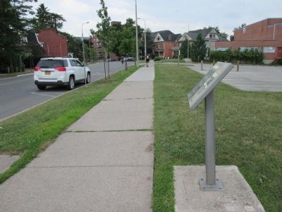
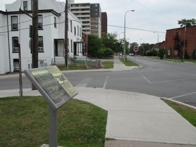
Location. 43° 9.772′ N, 79° 14.629′ W. Marker is in St. Catharines, Ontario, in Niagara Region. Marker is at the intersection of Church Street and Court Street, on the right when traveling south on Church Street. Touch for map. Marker is at or near this postal address: 115 Church Street, St Catharines ON L2R 3C9, Canada. Touch for directions.
Other nearby markers. At least 8 other markers are within walking distance of this marker. St. Paul Street United Church (approx. 0.4 kilometers away); BME Church (approx. 0.4 kilometers away); Harriet Tubman (approx. 0.4 kilometers away); Salem Chapel, British Methodist Episcopal Church (approx. 0.4 kilometers away); Harriet Ross Tubman c. 1820-1913 (approx. 0.4 kilometers away); a different marker also named Harriet Tubman (approx. 0.4 kilometers away); Private Alexander Watson (approx. 0.4 kilometers away); The Founding of St. Catharines (approx. half a kilometer away). Touch for a list and map of all markers in St. Catharines.
Credits. This page was last revised on September 27, 2019. It was originally submitted on September 11, 2014, by Anton Schwarzmueller of Wilson, New York. This page has been viewed 416 times since then and 13 times this year. Photos: 1, 2, 3. submitted on September 11, 2014, by Anton Schwarzmueller of Wilson, New York. • Andrew Ruppenstein was the editor who published this page.


