Near Vidal in San Bernardino County, California — The American West (Pacific Coastal)
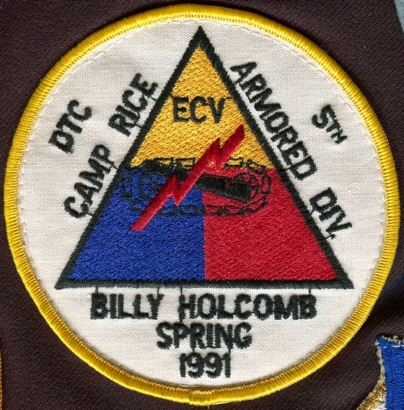
Rice Divisional Camp
Camp Rice
— Desert Training Center, California-Arizona Maneuver Area —
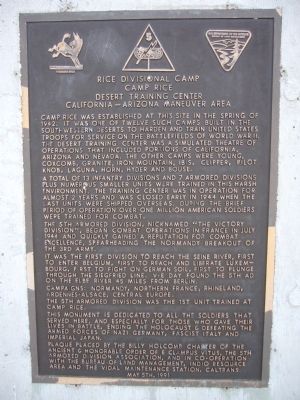
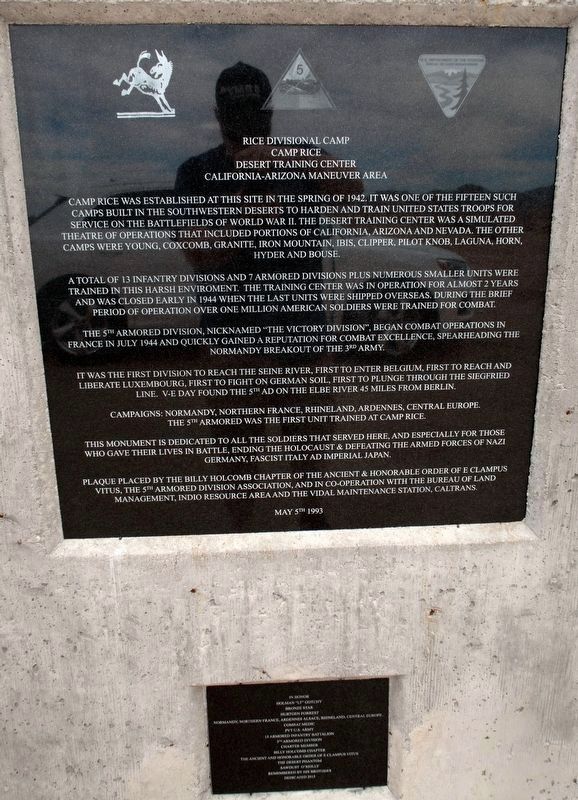
A total of 13 infantry divisions and 7 armored divisions plus numerous smaller units were trained in this harsh environment. The training center was in operation for almost 2 years and was closed early in 1944 when the last units were shipped overseas. During the brief period of operation over one million American soldiers were trained for combat.
The 5th Armored Division, nicknamed "The Victory Division," began combat operations in France in July 1944 and quickly gained a reputation for combat excellence, spearheading the Normandy breakout of the 3rd Army.
It was the first division to reach the Seine River, first to enter Belgium, first to reach and liberate Luxembourg, first to fight on German soil, first to plunge through the Siegfried Line. V-E Day found the 5th AD on the Elbe River 45 miles from Berlin.
Campaigns: Normandy, Northern France, Rhineland, Ardennes-Alsace, Central Europe.
The 5th Armored Division was the 1st unit trained at Camp Rice.
This monument is dedicated to all the soldiers that served here, and especially for those who gave their lives in battle, ending the Holocaust & defeating the armed forces of Nazi Germany, Fascist Italy and Imperial Japan.
Erected 1991 by the Billy Holcomb Chapter-E Clampus Vitus, the 5th Armored Division Assoc., and in co-operation with the Bureau of Land Management, Indio Resource Area and the Vidal Maintenance Staton, Caltrans. (Marker Number 63.)
Topics and series. This historical marker is listed in this topic list: War, World II. In addition, it is included in the Desert Training Center, and the E Clampus Vitus series lists. A significant historical month for this entry is July 1944.
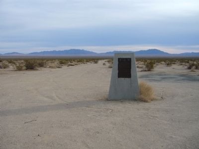
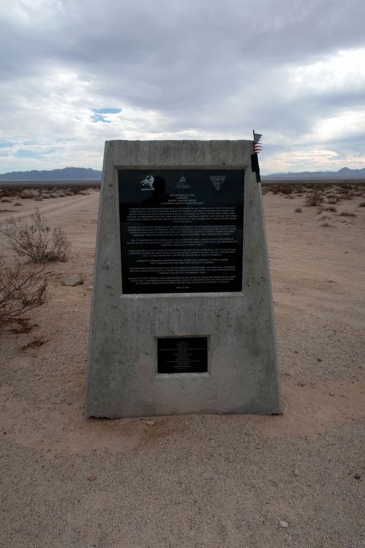
Location. 34° 5.071′ N, 114° 45.776′ W. Marker is near Vidal, California, in San Bernardino County. Marker is on Aqueduct Road (Route 62 at milepost 112.4), on the right when traveling east. The marker is located about 70 miles east of Indio. Take I-10 to exit at SR-177 (Desert Center). Take SR-177 north about 27 miles to SR-62 and turn right. The marker is about 25 miles east of the SR-62/SR117 junction and is about 5.1 miles east of the railroad tracks at the site of Rice. Touch for map
. Marker is in this post office area: Vidal CA 92280, United States of America. Touch for directions.
More about this marker. Camp Rice is known by many as Rice Army Airfield. After the dedication of this marker to the brave soldiers who trained here, a very loud salute to the troops was heard by many. Some desert wags claimed they had seen an abject shaped like an anvil flying through the air. Perhaps they saw a desert mirage when their ears were startled by the loud salute.
SOURCE: Billy Holcomb Chapter 1069 35th Anniversary Plaque Book by Phillip Holdaway
Also see . . . Desert Training Center, California-Arizona Maneuver Area. This was the largest Army base in the world covering some 18,000 square miles. It stretched from the outskirts of Pomona, California eastward to within 50 miles of Phoenix, Arizona, southward to the suburbs of Yuma, Arizona and northward into the southern tip of Nevada. It existed primarily to train U.S. forces in desert warfare for the North African campaign. (Submitted on January 4, 2011, by Bill Kirchner of Tucson, Arizona.)
Credits. This page was last revised on December 2, 2022. It was originally submitted on January 4, 2011, by Bill Kirchner of Tucson, Arizona. This page has been viewed 1,660 times since then and 170 times this year. Last updated on November 9, 2022, by Vince Jackson of Toano, Virginia. Photos: 1. submitted on January 4, 2011, by Bill Kirchner of Tucson, Arizona. 2. submitted on November 9, 2022, by Vince Jackson of Toano, Virginia. 3. submitted on January 4, 2011, by Bill Kirchner of Tucson, Arizona. 4. submitted on November 9, 2022, by Vince Jackson of Toano, Virginia. 5. submitted on August 8, 2016, by Michael Kindig of Elk Grove, California. • Syd Whittle was the editor who published this page.
