Near Knights Ferry in Stanislaus County, California — The American West (Pacific Coastal)
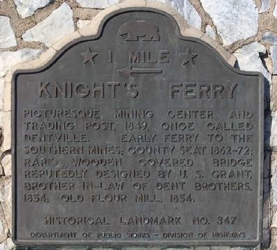
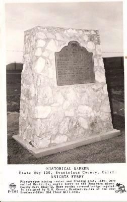
Knight's Ferry
← 1 Mile
Erected 1939 by California State Department of Public Work, Division of Highways. (Marker Number 347.)
Topics and series. This historical marker is listed in these topic lists: Bridges & Viaducts • Landmarks • Natural Resources • Settlements & Settlers. In addition, it is included in the California Historical Landmarks, the Covered Bridges, and the Former U.S. Presidents: #18 Ulysses S. Grant series lists. A significant historical year for this entry is 1849.
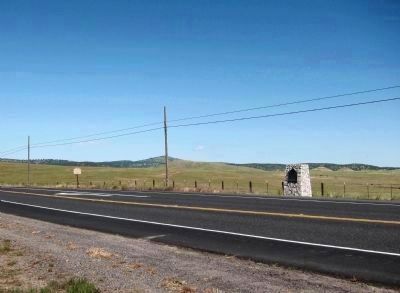
Location. 37° 48.519′ N, 120° 39.947′ W. Marker is near Knights Ferry, California, in Stanislaus County. Marker is at the intersection of State Highway 120 at milepost 16.4 and Kennedy Road, on the left when traveling west on State Highway 120. Touch for map. Marker is in this post office area: Oakdale CA 95361, United States of America. Touch for directions.
Other nearby markers. At least 12 other markers are within walking distance of this marker. Buena Vista (approx. half a mile away); The Ancient and Honorable Order of E Clampus Vitus (approx. half a mile away); a different marker also named Knight's Ferry (approx. 0.8 miles away); Power Generation (approx. 0.8 miles away); Knights Ferry No. 2 (approx. 0.8 miles away); Knights Ferry Hook & Ladder (approx. 0.8 miles away); Miller's Saloon (approx. 0.8 miles away); Knights Ferry - The Store (approx. 0.8 miles away); Tulloch’s Mill (approx. 0.8 miles away); Knight's Ferry Bridge (approx. 0.8 miles away); Mill House (approx. 0.8 miles away); Knights Ferry Covered Bridge (approx. 0.8 miles away). Touch for a list and map of all markers in Knights Ferry.
More about this marker. An identical marker is located one mile east, on the other side of the highway.
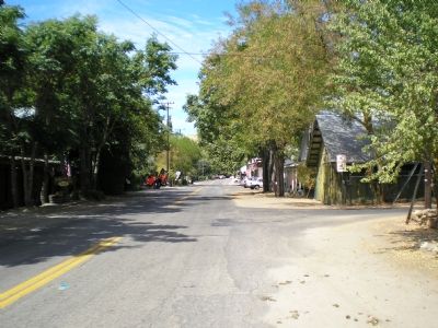
The town is located north of the highway, on the north bank of the Stanislaus River.
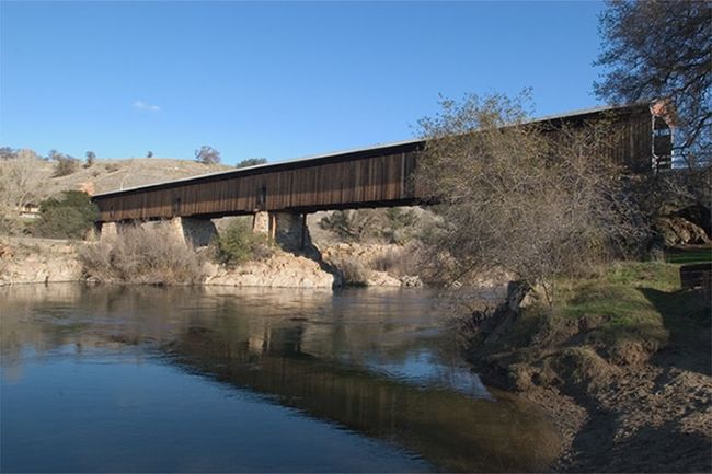
Additional keywords. Covered Bridge, California Gold Rush Era Town
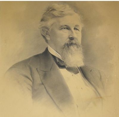
4. William Knight, Founder of Knights Ferry
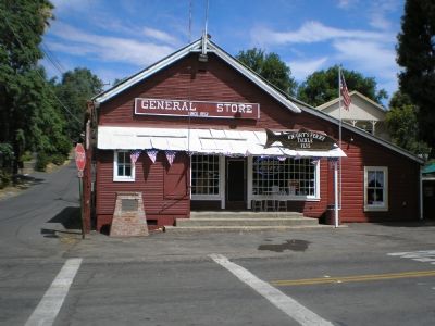
William Knight founded the town of Knights Ferry after relocating from Knight's Landing near Sacramento. This portrait of Knight hangs in the Knights Ferry General Store. William Knight died in 1849, on the street of the town he founded. Called one of the most cold-blooded murders ever witnessed, his assailant's name and if he was ever brought to trial or punished for the crime is unknown.
Credits. This page was last revised on February 1, 2024. It was originally submitted on September 4, 2007. This page has been viewed 4,336 times since then and 60 times this year. Last updated on July 27, 2021. Photos: 1. submitted on September 4, 2007, by Mathew H. Kohnen of San Jose, California. 2. submitted on May 1, 2011. 3. submitted on September 4, 2007, by Mathew H. Kohnen of San Jose, California. 4, 5. submitted on September 20, 2007, by Mathew H. Kohnen of San Jose, California. 6. submitted on October 28, 2008, by Syd Whittle of Mesa, Arizona. 7. submitted on September 4, 2007, by Mathew H. Kohnen of San Jose, California. • J. Makali Bruton was the editor who published this page.
