Dover in Stewart County, Tennessee — The American South (East South Central)
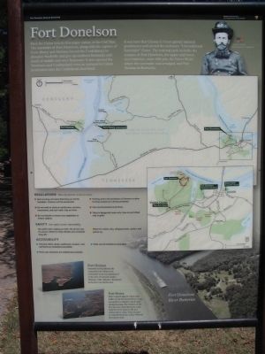
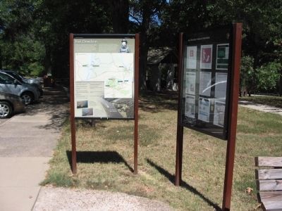
Fort Donelson
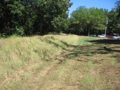
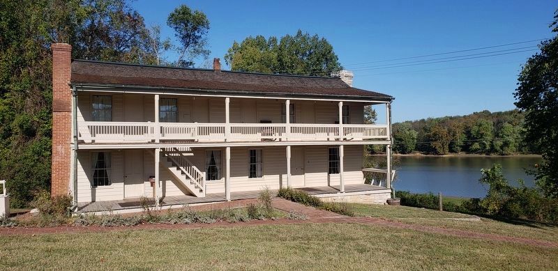
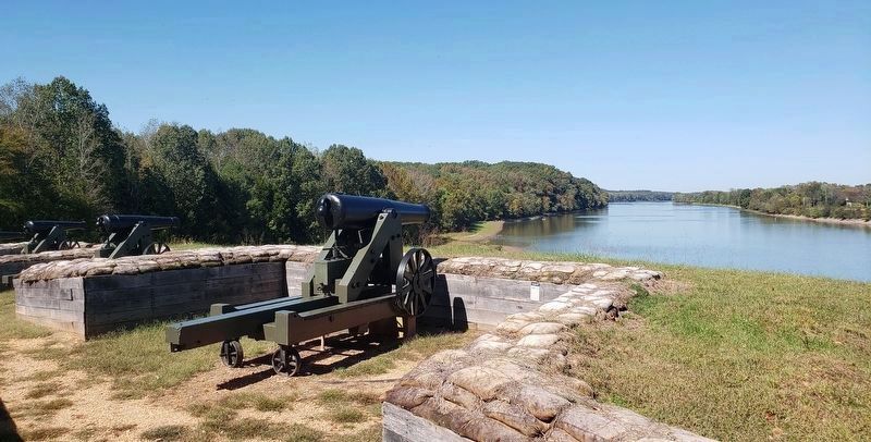
It was here that Ulysses S. Grant gained national prominence and earned the nickname "Unconditional Surrender" Grant. The national park includes the remains of Fort Donelson, the upper and lower river batteries, outer rifle pits, the Dover Hotel where the surrender was arranged, and Fort Heiman in Kentucky.
Regulations - Take only pictures. Leave no trace.
• Relic-hunting and metal detecting are strictly forbidden. Violators will be prosecuted.
• Do not walk or climb on earthworks, cannons, monuments, and rock walls. Stay on trails.
• Do not disturb or remove any vegetation or historic objects.
• Hunting and/or possession of firearms or other hunting weaponry is strictly prohibited.
• Pets must be leashed at all times.
• Picnic in designated areas only. Fires are permitted only in grills.
Safety - Your safety is your responsibility.
• Be careful when walking on trails. The terrain may be uneven. Watch for steep hillsides and unmarked drop-offs.
• Watch for snakes, ticks, stinging insects, spiders, and poison ivy.
Accessibility
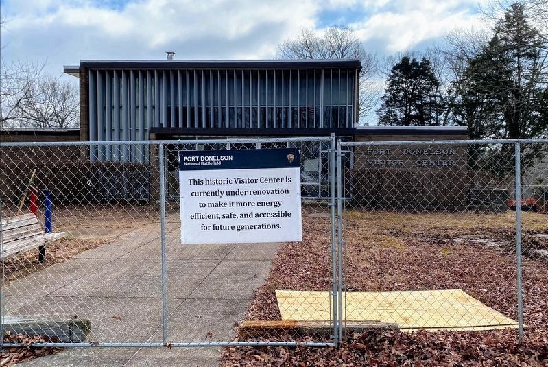
• The park visitor center, auditorium, museum, and restrooms are wheelchair-accessible.
• Picnic area restrooms are wheelchair-accessible.
• Trails are not wheelchair-accessible.
Fort Heiman
Intended to help defend the vulnerable Fort Henry, this unfinished work was abandoned at the start of General Grant's February 1862 offensive. Remnants of the fort can still be seen.
Fort Henry
Built to guard against Union ship traffic on the Tennessee River, it was susceptible to infantry attacks and spring flooding. The remains of the fort are now under Kentucky Lake. Only the fort's eastern rifle pits remain above water. They are part of Land Between the Lakes National Recreation Area.
Erected by Fort Donelson National Battlefield - National Park Service - Department of the Interior.
Topics and series. This historical marker is listed in these topic lists: Forts and Castles • War, US Civil. In addition, it is included in the Battlefield Trails - Civil War, and the Former U.S. Presidents: #18 Ulysses S. Grant series lists. A significant historical year for this entry is 1862.
Location. Marker has been reported missing. It was
located near 36° 28.958′ N, 87° 51.761′ W. Marker was in Dover, Tennessee, in Stewart County. Marker was on Fort Donelson Park Road, 0.1 miles north of Donelson Parkway (U.S. 79), on the right when traveling north. Located at the visitor center in the Fort Donelson National Battlefield. Touch for map. Marker was in this post office area: Dover TN 37058, United States of America. Touch for directions.
Other nearby markers. At least 8 other markers are within walking distance of this location. 6-pounder Gun (about 300 feet away, measured in a direct line); Porter's Battery (about 400 feet away); Confederate Monument (about 800 feet away); Fort Donelson Confederate Monument (approx. 0.2 miles away); Graves' Battery (approx. ¼ mile away); Buckner's Division (approx. ¼ mile away); Union Camp (approx. 0.3 miles away); Lauman's Brigade (approx. 0.3 miles away). Touch for a list and map of all markers in Dover.
Related markers. Click here for a list of markers that are related to this marker. Fort Donelson by Markers
Also see . . . Fort Donelson National Battlefield. National Park Service site. (Submitted on November 14, 2010, by Craig Swain of Leesburg, Virginia.)
Credits. This page was last revised on May 11, 2021. It was originally submitted on November 14, 2010, by Craig Swain of Leesburg, Virginia. This page has been viewed 1,147 times since then and 22 times this year. Last updated on May 10, 2021, by Shane Oliver of Richmond, Virginia. Photos: 1, 2, 3. submitted on November 14, 2010, by Craig Swain of Leesburg, Virginia. 4, 5. submitted on May 10, 2021, by Bradley Owen of Morgantown, West Virginia. 6. submitted on May 10, 2021, by Shane Oliver of Richmond, Virginia. • J. Makali Bruton was the editor who published this page.
