Chattanooga in Hamilton County, Tennessee — The American South (East South Central)
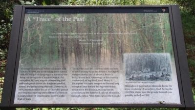
A "Trace" of the Past
Henry Y. Thompson
November 24, 1863
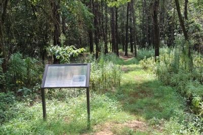
The road trace you see before you is rich with history. In 1805, the surrounding forest echoed with the sounds of chopping as a new road was being cut through the Cherokee Nation. For more than 30 years, wagons transporting mail and trade goods across the Southeast creaked, jostled, and jerked along this road. However, in 1838, heartache filled the air as Cherokee passed over this trace moving toward Brown's Ferry on a small portion of what became known as the Trail of Tears.
Twenty five years later, cannon blasts and yells of soldiers rang out in the distance. An English traveler climbed out of a boat at Brown's Ferry, bound for Chattanooga on this recently corduroyed, or log-lined, road. Henry Y. Thompson may have stopped on the road long enough to peer toward the fog enshrouded mountain in the distance, making him an eyewitness to the Battle of Lookout Mountain, famously called, "The Battle Above the Clouds."
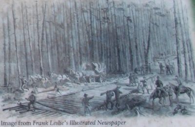
Although not sketched on Moccasin Bend, the above rendering of a corduroy road during the Civil War shows how the ground beneath you possibly looked in 1863.
Erected by Friends of Moccasin Bend National Park (through a grant by the Lyndhurst Foundation).
Topics. This historical marker is listed in these topic lists: Industry & Commerce • Native Americans • Roads & Vehicles • War, US Civil. A significant historical month for this entry is November 1838.
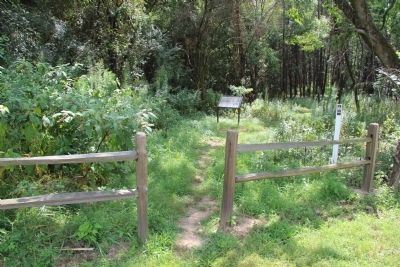
Location. 35° 3.508′ N, 85° 19.893′ W. Marker is in Chattanooga, Tennessee, in Hamilton County. Marker can be reached from the intersection of Pineville Road and Manufacturers Road, on the right when traveling south. This marker is located inside of the Moccasin Bend National Archaeological District, a short distance from the roadway and the public parking area, along the walking trail as you first enter into the woods. Touch for map. Marker is in this post office area: Chattanooga TN 37405, United States of America. Touch for directions.
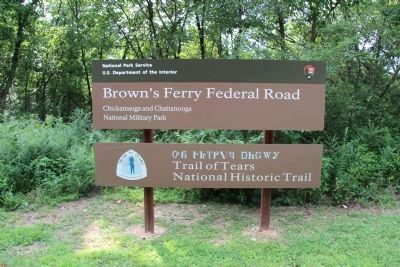
Other nearby markers. At least 8 other markers are within walking distance of this marker. Brown's Ferry Federal Road (within shouting distance of this marker); Finding a Hidden Treasure (approx. 0.3 miles away); Crossing into History (approx. half a mile away); Industrial Heritage (approx. 0.7 miles away); Urban Renewal (approx. 0.7 miles away); Re-Opening the Tennessee River (approx. 0.9 miles away); Negley's and Wilder's Demonstrations Against Chattanooga (approx. 0.9 miles away); Boynton Park (approx. 0.9 miles away). Touch for a list and map of all markers in Chattanooga.
More about this marker. This marker is the second marker, in a series of four (4) markers that mark the footpath, used to walk portions of the old Brown's Ferry Federal Road, from the present day roadway, to the Tennessee River, and then back, a journey of about 1.2 miles, round-trip.
Credits. This page was last revised on February 10, 2022. It was originally submitted on June 9, 2015, by Dale K. Benington of Toledo, Ohio. This page has been viewed 665 times since then and 54 times this year. Last updated on February 7, 2022, by Bradley Owen of Morgantown, West Virginia. Photos: 1, 2, 3, 4, 5. submitted on June 9, 2015, by Dale K. Benington of Toledo, Ohio. 6. submitted on June 10, 2015, by Dale K. Benington of Toledo, Ohio. • J. Makali Bruton was the editor who published this page.
