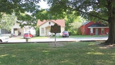
Hopkinsville in Christian County, Kentucky — The American South (East South Central)
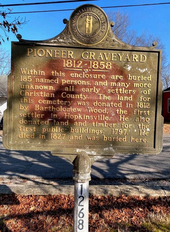
Pioneer Graveyard
1812-1858
Erected 1969 by the Kentucky Historical Society Kentucky Department of Highways. (Marker Number 1268.)
Topics and series. This historical marker is listed in these topic lists: Cemeteries & Burial Sites • Settlements & Settlers. In addition, it is included in the Kentucky Historical Society series list. A significant historical year for this entry is 1812.
Location. 36° 51.883′ N, 87° 29.575′ W. Marker is in Hopkinsville, Kentucky, in Christian County. Marker is on West 13th Street, 0.1 miles west of Ferrell Street, on the left when traveling west. Touch for map. Marker is at or near this postal address: 312 West 13th Street, Hopkinsville KY 42240, United States of America. Touch for directions.
Other nearby markers. At least 8 other markers are within walking distance of this marker. Charles S. Morehead, 1802-1868 (within shouting distance of this marker); Bethel College (about 600 feet away, measured in a direct line); Mary Edmunds Bronaugh (approx. 0.2 miles away); Dillard-Campbell House (approx. 0.2 miles away); Ted Poston "Dean of Black Journalists" (approx. 0.2 miles away); Lewis and Clark in Kentucky (approx. 0.3 miles away); Courthouse Burned (approx. 0.3 miles away); Confederate Memorial Fountain (approx. 0.3 miles away). Touch for a list and map of all markers in Hopkinsville.
Also see . . . A History of Christian County - 1930. (Submitted on September 23, 2015, by Mark Hilton of Montgomery, Alabama.)
Credits. This page was last revised on February 16, 2021. It was originally submitted on September 23, 2015, by Mark Hilton of Montgomery, Alabama. This page has been viewed 602 times since then and 31 times this year. Last updated on February 14, 2021, by Shane Oliver of Richmond, Virginia. Photos: 1. submitted on February 14, 2021, by Shane Oliver of Richmond, Virginia. 2, 3, 4, 5. submitted on September 23, 2015, by Mark Hilton of Montgomery, Alabama. • Devry Becker Jones was the editor who published this page.
