Near Humboldt in Minnehaha County, South Dakota — The American Midwest (Upper Plains)
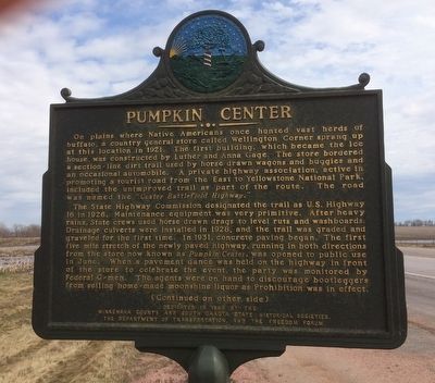
Pumpkin Center
The State Highway Commission designated the trail as U.S. Highway 16 in 1926. Maintenance equipment was very primitive. After heavy rains, State crews used horse drawn drags to level ruts and washboards. Drainage culverts were installed in 1928, and the trail was graded and graveled for the first time. In 1931, concrete paving began. The first five mile stretch of the newly paved highway, running in both directions from the store now known as Pumpkin Center, was opened to public use in June. When a pavement dance was held on the highway in front of the store to celebrate the event, the party was monitored by Federal G-men. The agents were on hand to discourage bootleggers from selling homemade moonshine liquor as Prohibition was in effect.
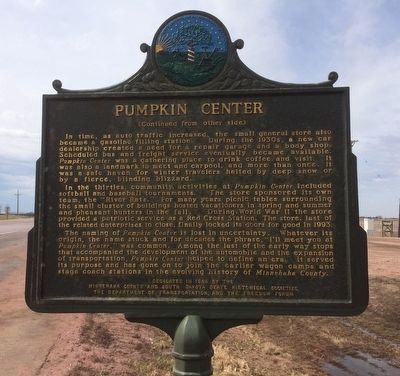
In time, as auto traffic increased, the small general store also became a gasoline filling station. During the 1930s, a new car dealership created a need for a repair garage and a body shop. Scheduled bus and freight service eventually became available. Pumpkin Center was a gathering place to drink coffee and visit. It was also a landmark to meet and carpool, and more than once, it was a safe haven for winter travelers halted by deep snow or by a fierce, blinding blizzard.
In the thirties, community activities at Pumpkin Center included softball and baseball tournaments. The store sponsored its own team, the "River Rats." For many years picnic tables surrounding the small cluster of buildings hosted vacationers in spring and summer and pheasant hunters in the fall. During World War II the store provided a patriotic service as a Red Cross Station. The store, last of the related enterprises to close, finally locked its doors for good in 1993.
The naming of Pumpkin Center is lost in uncertainty. Whatever its origin, the name stuck and for decades the phrase, "I’ll meet you at Pumpkin Center," was common. Among the last of the early way stops that accompanied the development of the automobile and the expansion of transportation, Pumpkin Center helped to define an era. It served its purpose and has gone on to join the earlier wagon camps and stage coach stations in the evolving history of Minnehaha County.
Erected 1996 by the Minnehaha County and South Dakota State Historical Societies, the Department of Transportation, and the Freedom Forum. (Marker Number 672.)
Topics and series. This historical marker is listed in these topic lists: Roads & Vehicles • Settlements & Settlers. In addition, it is included in the South Dakota State Historical Society Markers series list. A significant historical year for this entry is 1921.
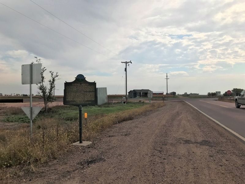
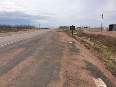
Location. 43° 32.599′ N, 97° 5.307′ W. Marker is near Humboldt, South Dakota, in Minnehaha County. Marker is at the intersection of 265th Street (South Dakota Route 42) and 456th Avenue (South Dakota Route 19), on the right when traveling west on 265th Street. Touch for map. Marker is in this post office area: Humboldt SD 57035, United States of America. Touch for directions.
Other nearby markers. At least 8 other markers are within 11 miles of this marker, measured as the crow flies. Rumpus Ridge (approx. 5.6 miles away); Dam and Spillway (approx. 5.7 miles away); Otter Stream (approx. 5.8 miles away); Zion Lutheran Church and Cemetery (approx. 6.2 miles away); Town of Hartford (approx. 9 miles away); Hartford Area Veterans Memorial (approx. 9 miles away); Turner County, South Dakota Veterans Memorial (approx. 10.6 miles away); J.W. "Father" Turner (approx. 10.6 miles away).
Credits. This page was last revised on October 10, 2021. It was originally submitted on April 3, 2016, by Ruth VanSteenwyk of Aberdeen, South Dakota. This page has been viewed 1,013 times since then and 75 times this year. Last updated on October 10, 2021. Photos: 1, 2. submitted on April 3, 2016, by Ruth VanSteenwyk of Aberdeen, South Dakota. 3. submitted on October 10, 2021. 4. submitted on April 3, 2016, by Ruth VanSteenwyk of Aberdeen, South Dakota. • Mark Hilton was the editor who published this page.


