Canadian in Hemphill County, Texas — The American South (West South Central)
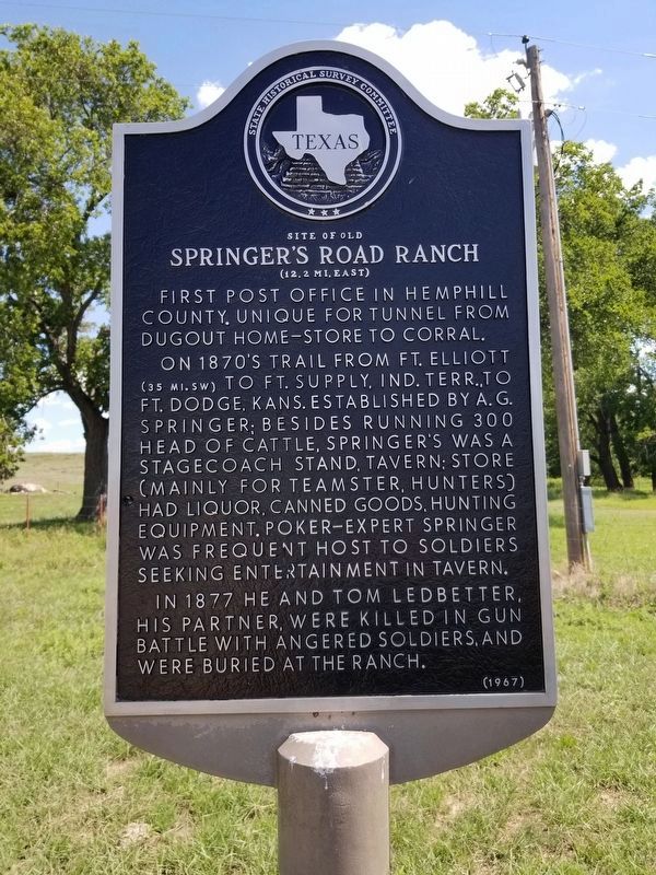
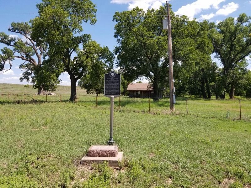
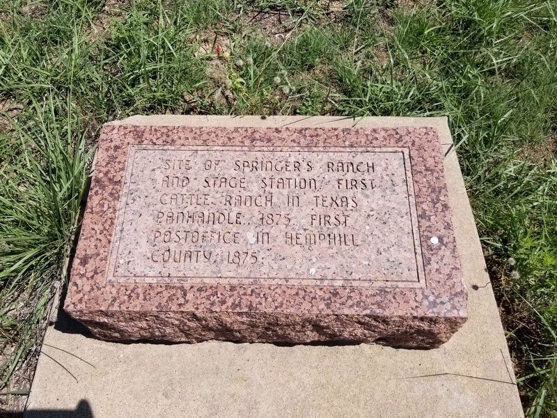
Site of Old Springer's Road Ranch
(12.2 mi east)
First post office in Hemphill County. Unique for tunnel from dugout home-store to corral.
On 1870's trail from Fort Elliott (35 miles, southwest) to Fort Supply, Indian Territory, to Fort Dodge, Kansas. Established by A. G. Springer; besides running 300 head of cattle, Springer's was a stagecoach stand, tavern; store (mainly for teamster, hunters) had liquor, canned goods, hunting equipment. Poker-expert Springer was frequent host to soldiers seeking entertainment in tavern.
In 1877, he and Tom Ledbetter, his partner, were killed in gun battle with angered soldiers and were buried at the ranch.
Erected 1967 by State Historical Survey Committee. (Marker Number 4860.)
Topics. This historical marker is listed in this topic list: Roads & Vehicles. A significant historical year for this entry is 1877.
Location. 35° 53.428′ N, 100° 10.714′ W. Marker is in Canadian, Texas, in Hemphill County. Marker is on County Rd K, 12 miles west of U.S. 60, on the right when traveling south. To find the marker, from US 60 head east on FM 2266 until the road turns from asphalt to caliche and is called County Road K. Stay on County Road K for approximately 1.2 miles and it will be on your right. Touch for map. Marker is in this post office area: Canadian TX 79014, United States of America. Touch for directions.
Other nearby markers. At least 8 other markers are within 11 miles of this marker, measured as the crow flies. 133 Yards East to Site of Historic Cottonwood (approx. ¼ mile away); Old Military Road (approx. 0.3 miles away); Gene Howe Wildlife Management Area (approx. 6½ miles away); Anvil Park Ranch (approx. 7.9 miles away); Former Site of Hogtown (approx. 7.9 miles away); Eller Flat Cemetery (approx. 9.3 miles away); Glazier Cemetery (approx. 10.1 miles away); Tom T. McGee (approx. 10.9 miles away). Touch for a list and map of all markers in Canadian.
Credits. This page was last revised on August 2, 2020. It was originally submitted on April 5, 2016. This page has been viewed 370 times since then and 13 times this year. Last updated on August 2, 2020, by Allen Lowrey of Amarillo, Texas. Photos: 1, 2. submitted on August 2, 2020, by Allen Lowrey of Amarillo, Texas. 3. submitted on April 5, 2016, by Bill Kirchner of Tucson, Arizona. 4. submitted on August 2, 2020, by Allen Lowrey of Amarillo, Texas. • J. Makali Bruton was the editor who published this page.


