Death Valley National Park in Inyo County, California — The American West (Pacific Coastal)
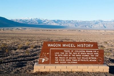
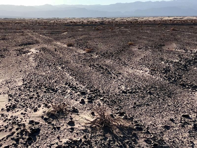
Wagon Wheel History
Erected by National Park Service.
Topics. This historical marker is listed in these topic lists: Industry & Commerce • Roads & Vehicles.
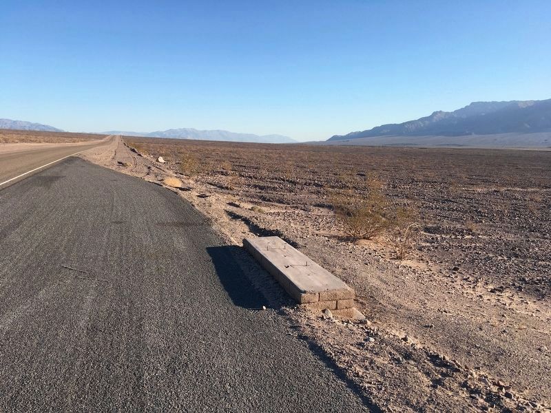
Location. Marker has been reported missing. It was located near 36° 39.9′ N, 117° 4.083′ W. Marker was in Death Valley National Park, California, in Inyo County. Marker was on Scotty's Castle Road, one mile north of Daylight Pass Road, on the left when traveling north. Touch for map. Marker was in this post office area: Death Valley CA 92328, United States of America. Touch for directions.
Other nearby markers. At least 8 other markers are within 13 miles of this location, measured as the crow flies. Old Stovepipe Wells (approx. ¾ mile away); Devil’s Cornfield (approx. 3.4 miles away); Death Valley’s First Tourist Resort (approx. 5.8 miles away); Burned Wagons Point (approx. 5.9 miles away); Road To Adventure (approx. 6 miles away); Eichbaum Toll Road (approx. 6 miles away); Keane Wonder Mine (approx. 8.8 miles away); Petroglyphs (approx. 12.3 miles away). Touch for a list and map of all markers in Death Valley National Park.
Regarding Wagon Wheel History. The mining boom towns of Rhyolite and Skidoo flourished briefly at the beginning of the 20th century. Both are now ghost towns.
Credits. This page was last revised on November 4, 2020. It was originally submitted on April 7, 2016, by Alvis Hendley of San Francisco, California. This page has been viewed 567 times since then and 47 times this year. Last updated on November 3, 2020, by Craig Baker of Sylmar, California. Photos: 1. submitted on April 7, 2016, by Alvis Hendley of San Francisco, California. 2. submitted on October 27, 2020, by Craig Baker of Sylmar, California. 3. submitted on November 3, 2020, by Craig Baker of Sylmar, California. • Syd Whittle was the editor who published this page.


