Near Manassas in Prince William County, Virginia — The American South (Mid-Atlantic)
Fight at the Fence Line
Second Battle of Manassas
— Day Three August 30, 1862 4:30 p.m. —
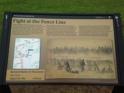
The Confederate attack soon drew the attention of Federal artillery north of the Warrenton Turnpike. To avoid this raking cannon fire, some of the advancing troops crowded into the woods to your far left front. Rather than continue straight ahead into McLean's waiting guns, the weight of the Confederate attack now fell upon the Ohioan's left flank. McLean's line was caught in a devastating crossfire and quickly crumbled.
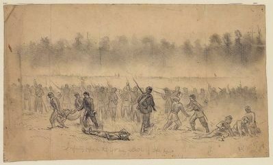
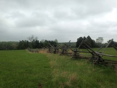
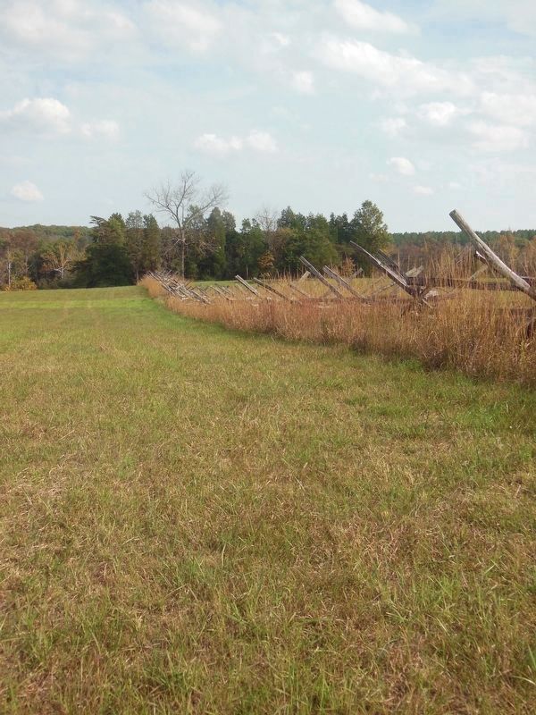
In desperation McLean ordered two of his regiments to change front and reform at the fence line. By this point Confederate forces were sweeping onto the Chinn farm. As they surged past the Chinn house, McLean's brave remnant rose and fired. Their concentrated volley struck the Confederates like a shock wave. For ten minutes deafening musketry continued until overwhelming numbers forced the Ohioans back along the ridge.
Erected by Manassas National Battlefield Park, National Park Service, U.S. Department of the Interior.
Topics. This historical marker is listed in this topic list: War, US Civil. A significant historical date for this entry is August 30, 1862.
Location. 38° 48.465′ N, 77° 32.099′ W. Marker is near Manassas, Virginia, in Prince William County. Marker can be reached from Sudley Road (Virginia Route 234) half a mile south of Lee Highway (U.S. 29), on the right when traveling south. Marker is located along the Chinn Ridge Trail (Driving Tour Stop 10) 400 ft north of the parking lot. Touch for map. Marker is at or near this postal address: 6511 Sudley Rd, Manassas VA 20109, United States of America. Touch for directions.
Other nearby markers. At least 8 other markers are within walking distance of this marker. 73rd Ohio Infantry (here, next to this marker); Kemper's Brigade (within shouting distance of this marker); Chinn Ridge (within shouting distance of this marker); a different marker also named Chinn Ridge (about 300 feet away, measured in a direct line); Second Brigade (about 500 feet away); Hazel Plain (about 500 feet away); a different marker also named Kemper's Brigade (about 600 feet away); Defending the Cannon (approx. 0.2 miles away). Touch for a list and map of all markers in Manassas.
Also see . . . Manassas National Battlefield Park. National Park Service (Submitted on May 13, 2016.)
Credits. This page was last revised on May 10, 2023. It was originally submitted on May 12, 2016, by Shane Oliver of Richmond, Virginia. This page has been viewed 499 times since then and 12 times this year. Last updated on April 26, 2021, by Bradley Owen of Morgantown, West Virginia. Photos: 1. submitted on May 12, 2016, by Shane Oliver of Richmond, Virginia. 2. submitted on May 13, 2016. 3. submitted on April 29, 2023, by Bill Coughlin of Woodland Park, New Jersey. 4, 5. submitted on May 12, 2016, by Shane Oliver of Richmond, Virginia. 6. submitted on April 25, 2021, by Bradley Owen of Morgantown, West Virginia. • Bernard Fisher was the editor who published this page.
