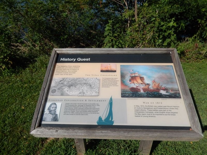
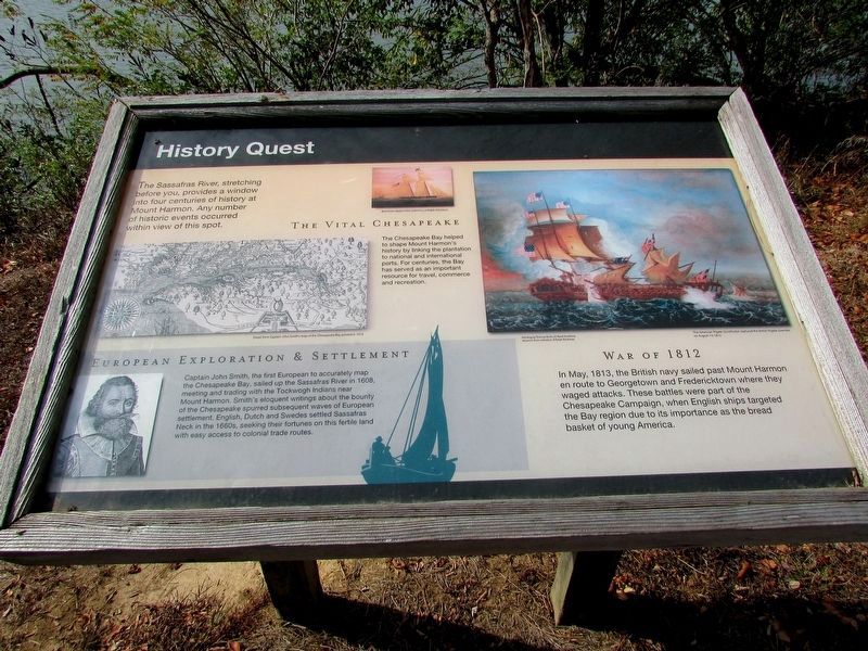
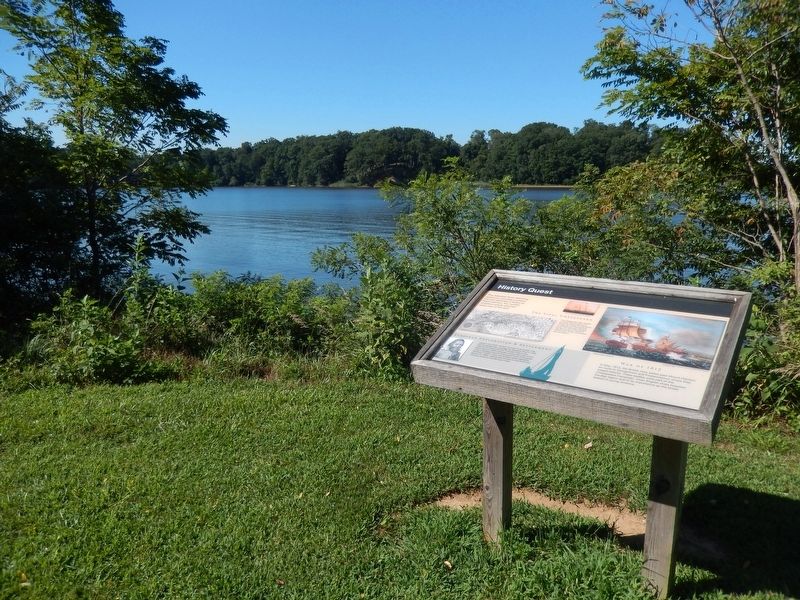
History Quest
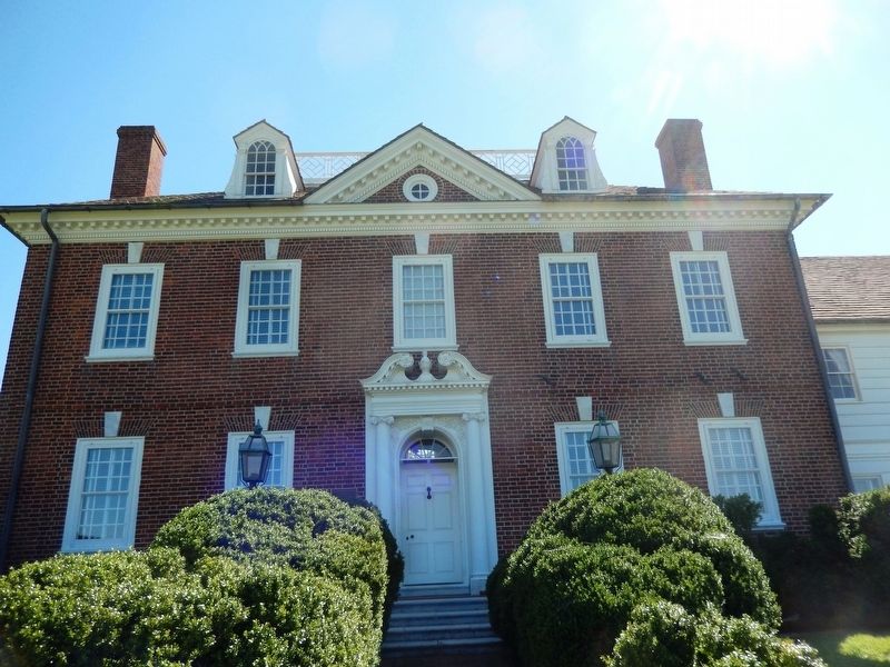
Mount Harmon Plantation
European Exploration & Settlement
Captain John Smith, the first European to accurately map the Chesapeake Bay, sailed up the Sassafras River in 1608, meeting and trading with the Tockwogh Indians near Mount Harmon. Smith’s eloquent writings about the bounty of the Chesapeake spurred subsequent waves of European settlement. English, Dutch and Swedes settled Sassafras Neck in the 1660s, seeking their fortunes on this fertile land with easy access to colonial trade routes.
The Vital Chesapeake
The Chesapeake Bay helped to shape Mount Harmon’s history by linking the plantation to national and international ports. For centuries, the Bay has served as an important resource for travel, commerce and recreation.
War of 1812
In May, 1813, the British navy sailed past Mount Harmon en route to Georgetown and Fredericktown where they waged attacks. These battles were part of the Chesapeake Campaign, when English ships targeted the Bay region due to its importance as the bread basket of young America.
(Inscription under the map on the left)
Detail from Captain John Smith’s map of the Chesapeake Bay printed in 1612
(Inscription
under the image in the upper center)Baltimore Clipper, from collection of Ralph Eshelman
(Inscriptions under the image in the upper right)
Painting by Thomas Birch, US Naval Academy Museum, from the collection of Ralph Eshelman
The American frigate Constitution captured the British frigate Guerriere on August 19, 1812.
Topics. This historical marker is listed in these topic lists: Colonial Era • Exploration • War of 1812 • Waterways & Vessels.
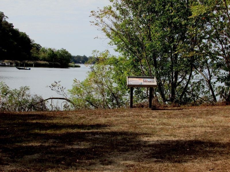
Location. 39° 22.849′ N, 75° 56.403′ W. Marker is in Earleville, Maryland, in Cecil County. Marker is on Mount Harmon Road. The marker is on the Cliff Point Trail on the Mount Harmon Plantation property. Touch for map. Marker is at or near this postal address: 600 Mount Harmon Road, Earleville MD 21919, United States of America. Touch for directions.
Other nearby markers. At least 8 other markers are within walking distance of this marker. Hilltop View (about 500 feet away, measured in a direct line); On the Wild Side (about 700 feet away); The Sassafras River (approx. 0.2 miles away); Mount Harmon Plantation at World's End (approx. 0.2 miles away); Tobacco and Mount Harmon (approx. 0.2 miles away); a different marker also named Mount Harmon Plantation at World's End (approx. 0.2 miles away); a different marker also named Mount Harmon Plantation at World’s End
Credits. This page was last revised on September 29, 2020. It was originally submitted on August 9, 2016. This page has been viewed 411 times since then and 23 times this year. Last updated on September 28, 2020. Photos: 1. submitted on August 9, 2016, by Don Morfe of Baltimore, Maryland. 2. submitted on October 13, 2019, by Bill Coughlin of Woodland Park, New Jersey. 3, 4. submitted on August 9, 2016, by Don Morfe of Baltimore, Maryland. 5. submitted on October 13, 2019, by Bill Coughlin of Woodland Park, New Jersey. 6. submitted on August 9, 2016, by Don Morfe of Baltimore, Maryland. • Bill Pfingsten was the editor who published this page.
