Near Thermopolis in Hot Springs County, Wyoming — The American West (Mountains)
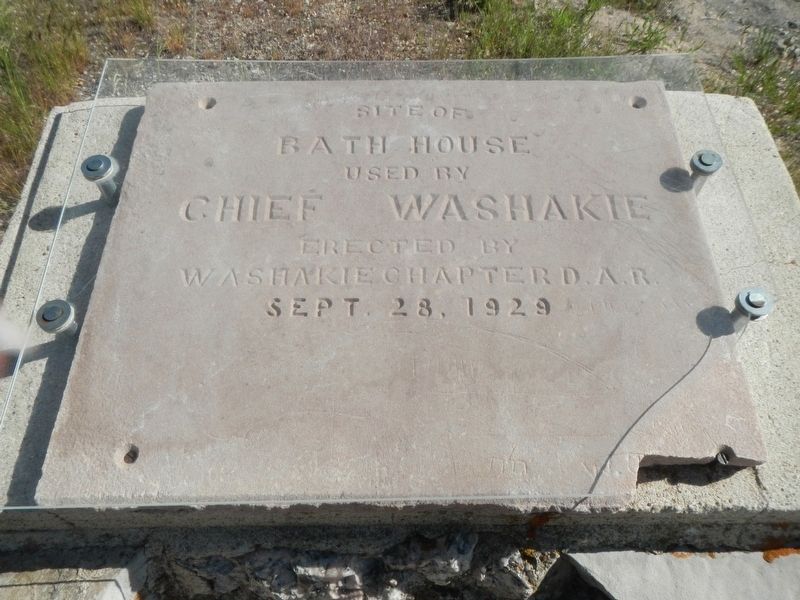
Washakie's Bath House
Bath House
used by
Chief Washakie
Erected by
Washakie Chapter D.A.R.
Sept 28, 1929
Erected 1929 by Washakie Chapter D.A.R. (Daughters of the American Revolution).
Topics and series. This historical marker is listed in this topic list: Native Americans. In addition, it is included in the Daughters of the American Revolution series list.
Location. 43° 39.312′ N, 108° 11.688′ W. Marker is near Thermopolis, Wyoming, in Hot Springs County. Marker is on Big Springs Drive near Pasture Road, on the right when traveling north. Touch for map. Marker is in this post office area: Thermopolis WY 82443, United States of America. Touch for directions.
Other nearby markers. At least 8 other markers are within walking distance of this marker. "The Hot Springs" (within shouting distance of this marker); Healing Waters (within shouting distance of this marker); Geology of Hot Springs (about 300 feet away, measured in a direct line); 1916 Swinging Bridge (about 400 feet away); Some Like It Hot! (about 500 feet away); Ancient Red Rocks (about 600 feet away); Joe Sneider Point (approx. 0.2 miles away); Hot Springs State Park (approx. 0.2 miles away). Touch for a list and map of all markers in Thermopolis.
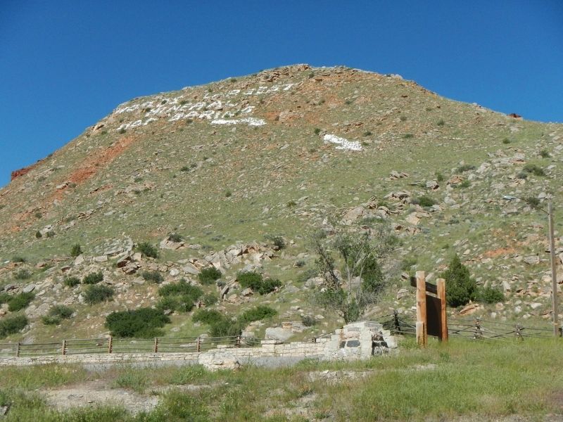
More about this marker. This marker is located in Hot Springs State Park near Thermopiles, Wyoming.
Credits. This page was last revised on February 23, 2024. It was originally submitted on September 12, 2016, by Barry Swackhamer of Brentwood, California. This page has been viewed 347 times since then and 18 times this year. Last updated on February 13, 2024, by Carolyn Sanders of Plano, Texas. Photos: 1, 2. submitted on September 12, 2016, by Barry Swackhamer of Brentwood, California. • J. Makali Bruton was the editor who published this page.

