Stillwater in Saratoga County, New York — The American Northeast (Mid-Atlantic)
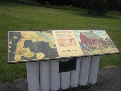
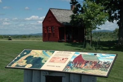
John Neilson House and Farm
History Now
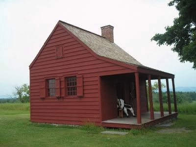
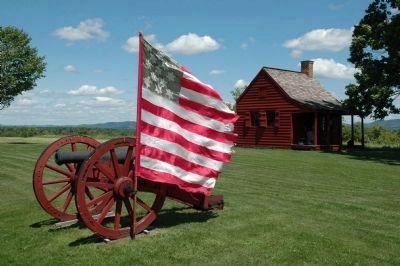
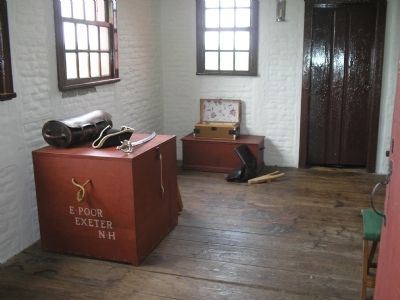
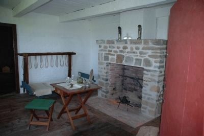
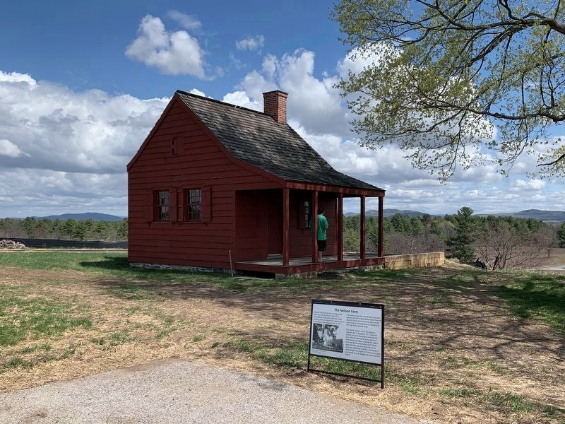
John Neilson, who farmed this land, cast his lot with the Patriot cause. The building you see is a restoration of his original home. By mid-September 1777, the American Army had taken over Neilson’s house and barn, and enclosed much of his farm within its defenses.
Erected by Saratoga National Historic Park, National Park Service.
Topics. This historical marker is listed in this topic list: War, US Revolutionary. A significant historical year for this entry is 1777.
Location. Marker has been reported permanently removed. It was located near 42° 59.129′ N, 73° 38.479′ W. Marker was in Stillwater, New York, in Saratoga County. Marker could be reached from Park Tour Road, on the left when traveling south. Marker is located in Saratoga National Historic Park along the auto tour road. Touch for map. Marker was in this post office area: Stillwater NY 12170, United States of America.
We have been informed that this sign or monument is no longer there and will not be replaced. This page is an archival view of what was.
Other nearby markers. At least 8 other markers are within walking distance of this location. Who Fought For The United States Here? (a few steps from this marker); New Hampshire Memorial (a few steps from this marker); The Neilson Farm (within shouting distance of this marker); Kosciuszko (within shouting distance of this marker); Unknown American Soldiers (about 300 feet away, measured in a direct line); Bemis Heights (about 400 feet away); Gates Headquarters (approx. 0.3 miles away); Asa Chatfield Farm (approx. 0.7 miles away). Touch for a list and map of all markers in Stillwater.
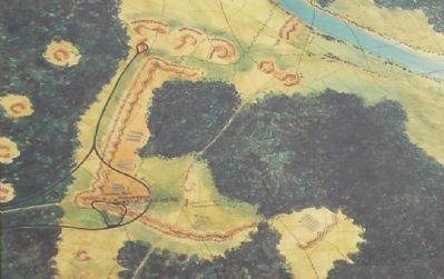
More about this marker. The right of the marker contains a picture of American soldiers gathered around the Neilson House. The left of the marker features a map of the area showing the war-time location of American fortifications and structures such as the Neilson House. There is also a "sketch by Lieutenant Colonel Varick, an American officer, show[ing] Neilson's house and outbuildings."
Also see . . .
1. Battle of Saratoga. Saratoga County Chamber of Commerce website entry (Submitted on August 16, 2022, by Larry Gertner of New York, New York.)
2. Saratoga National Historic Park. National Park Service. (Submitted on August 3, 2008, by Bill Coughlin of Woodland Park, New Jersey.)
Credits. This page was last revised on April 25, 2023. It was originally submitted on August 3, 2008, by Bill Coughlin of Woodland Park, New Jersey. This page has been viewed 2,410 times since then and 41 times this year. Last updated on April 16, 2023, by Steve Stoessel of Niskayuna, New York. Photos: 1. submitted on August 3, 2008, by Bill Coughlin of Woodland Park, New Jersey. 2. submitted on July 1, 2010, by Howard C. Ohlhous of Duanesburg, New York. 3, 4, 5. submitted on August 3, 2008, by Bill Coughlin of Woodland Park, New Jersey. 6. submitted on July 1, 2010, by Howard C. Ohlhous of Duanesburg, New York. 7, 8. submitted on August 3, 2008, by Bill Coughlin of Woodland Park, New Jersey. 9. submitted on July 1, 2010, by Howard C. Ohlhous of Duanesburg, New York. 10. submitted on April 16, 2023, by Steve Stoessel of Niskayuna, New York. • J. Makali Bruton was the editor who published this page.
