Columbia in Adair County, Kentucky — The American South (East South Central)
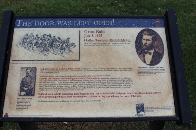
The Door Was Left Open!
Great Raid
— July 3, 1863 —
Columbia was on a Union defense line stretching from London to Bowling Green. On July 3, 1863, about 150 men of the 1st Kentucky Cavalry and portions of the 2nd and 45th Ohio Volunteer Infantry were in Columbia. The thin Union line was no match for Morgan's Cavalry.
A Columbia resident observing the shooting and horsemen galloping down the street later recalled.
"I ran to the window, and looking out I saw a Union soldier going down the road at full speed, his head and body bent low on the side of his horse, a few feet behind him were four or five men in gray in hot pursuit, shooting as rapidly as they could with pistols... I expected at every fire to see him fall from his horse, but in less time than I have taken to tell it, they were over the hill in the direction of town and out of sight... in a few moments I saw Union soldiers cautiously making their way over the brow of the hill from the direction of town. I could see Federal and Confederate soldiers, but they could not see each other. Soon skirmish fire opened up from both sides. The Federals were evidently deceived as to the force with which they were contending. I could see there were indications of quite an army over the hill."
"Balls whizzed in both directions. Then I heard a yell - the like of which I had never heard - the Confederate war cry when advancing to battle, and I saw the line of soldiers as they dashed over the brow of the hill."
Confederate casualties were 2 killed and 2 wounded. Union losses were the same.
(captions)
Judge Hershel Clay Baker (1841 - 1934)
As a young man Baker witnessed Morgan Raiders as they came through Columbia at the beginning of the famous Great Raid. He wrote of this in his memoirs for the Adair County News in 1898.
Gen. Henry M. Judah
Gen. Judah previously ordered Gen. Edward H. Hobson's main force out of Columbia to Marrowbone. This opened for Morgan a route into Kentucky and beyond.
Erected by Kentucky Heartland Civil War Trails Commission.
Topics and series. This historical marker is listed in this topic list: War, US Civil. In addition, it is included in the John Hunt Morgan Heritage Trail in Kentucky series list. A significant historical date for this entry is July 3, 1863.
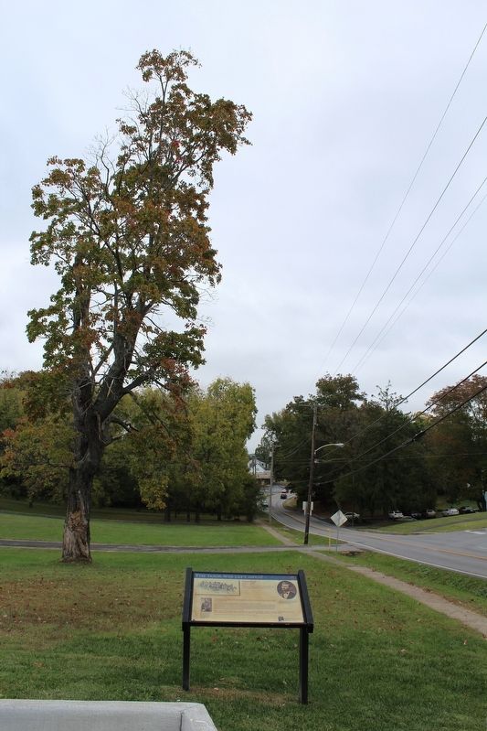
Location. 37° 5.942′ N, 85° 18.812′ W. Marker is in Columbia, Kentucky, in Adair County. Marker is at the intersection of Burkesville Street (Kentucky Route 80) and Hudson Street, on the left when traveling north on Burkesville Street. Touch for map. Marker is at or near this postal address: 100 Hudson Street, Columbia KY 42728, United States of America. Touch for directions.
Other nearby markers. At least 8 other markers are within walking distance of this marker. Columbia-Union Presbyterian Church (approx. 0.3 miles away); Male and Female High School Site / Student Parking in the 1850s (approx. 0.3 miles away); Adair County Revolutionary War Memorial (approx. half a mile away); Confederate Raids (approx. half a mile away); Jane Lampton Home (approx. half a mile away); Adair County Courthouse (approx. half a mile away); Col. Frank L. Wolford (approx. half a mile away); Daniel Trabue (1760-1840) (approx. 0.6 miles away). Touch for a list and map of all markers in Columbia.
Credits. This page was last revised on April 9, 2021. It was originally submitted on October 18, 2016, by Tom Bosse of Jefferson City, Tennessee. This page has been viewed 556 times since then and 33 times this year. Last updated on April 9, 2021, by Carl Gordon Moore Jr. of North East, Maryland. Photos: 1, 2. submitted on October 18, 2016, by Tom Bosse of Jefferson City, Tennessee. • Bill Pfingsten was the editor who published this page.

