Stillwater in Saratoga County, New York — The American Northeast (Mid-Atlantic)
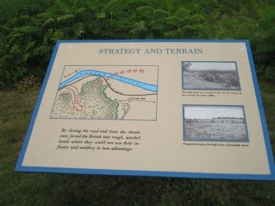
Strategy and Terrain
Erected by Saratoga National Historical Park, National Park Service.
Topics. This historical marker is listed in these topic lists: Military • Notable Places • War, US Revolutionary.
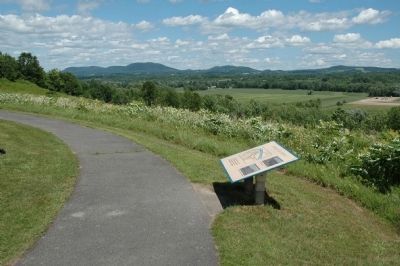
Location. Marker has been reported permanently removed. It was located near 42° 58.882′ N, 73° 37.622′ W. Marker was in Stillwater, New York, in Saratoga County. Marker was on Park Tour Road, on the left when traveling south. Marker is in Saratoga National Historical Park along a walking trail at the American River Fortifications stop. Touch for map. Marker was in this post office area: Stillwater NY 12170, United States of America.
We have been informed that this sign or monument is no longer there and will not be replaced. This page is an archival view of what was.
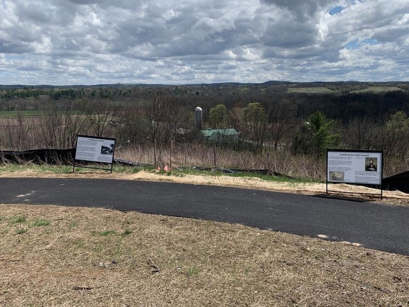
Other nearby markers. At least 8 other markers are within walking distance of this location. Fortifying The High Ground (here, next to this marker); Questions of Loyalty (here, next to this marker); Anchor of the American Line (within shouting distance of this marker); Redoubt (about 600 feet away, measured in a direct line); North Redan (about 600 feet away); Patriots’ Eye-View (about 600 feet away); American River Fortifications (about 700 feet away); American River Defense (about 700 feet away). Touch for a list and map of all markers in Stillwater.
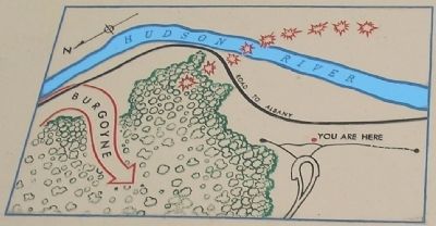
More about this marker. The upper left of the marker features a map of the area, indicating the location of the American fortifications in relation to the Hudson River and Road to Albany. It also indicates the course taken by Burgoyne when he found the road impassable.
Two photographs appear on the right of the marker. The top photo has a caption of “The bluff comes close enough to the river for cannon up here to sweep the narrow valley.” The lower photograph has a caption of “Viewed from below, the bluff raises a formidable barrier.”
Also see . . .
1. Saratoga National Historical Park. National Park Service website entry. (Submitted on August 4, 2008, by Bill Coughlin of Woodland Park, New Jersey.)
2. The Battle of Saratoga
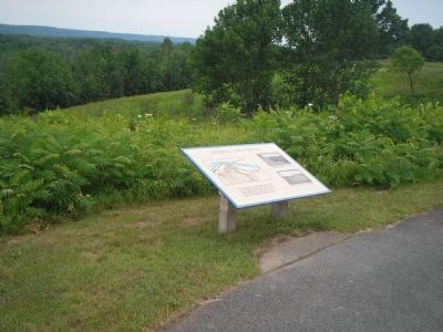
Photographed By Bill Coughlin, July 13, 2008
2. Marker in Saratoga National Historical Park
These strategically placed fortifications were set up by Col.Thaddeus Kosciuszko, a Polish military engineer and volunteer in the American cause. These works proved to be the key to American strategy against Burgoyne in 1777.
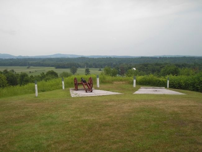
Photographed By Bill Coughlin, July 13, 2008
5. Artillery at the American River Fortifications
American infantry and artillery at this location, along with batteries along the river, virtually closed the Road to Albany to the British, forcing them to attack the main American lines at Bemis Heights. The blue-topped poles indicate the location of the American fortifications in 1777.
Credits. This page was last revised on April 26, 2023. It was originally submitted on August 4, 2008, by Bill Coughlin of Woodland Park, New Jersey. This page has been viewed 930 times since then and 14 times this year. Last updated on April 16, 2023, by Steve Stoessel of Niskayuna, New York. Photos: 1, 2. submitted on August 4, 2008, by Bill Coughlin of Woodland Park, New Jersey. 3. submitted on July 1, 2010, by Howard C. Ohlhous of Duanesburg, New York. 4, 5. submitted on August 4, 2008, by Bill Coughlin of Woodland Park, New Jersey. 6. submitted on April 16, 2023, by Steve Stoessel of Niskayuna, New York. • J. Makali Bruton was the editor who published this page.
