Stillwater in Saratoga County, New York — The American Northeast (Mid-Atlantic)
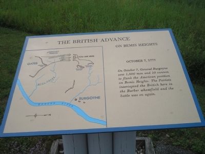
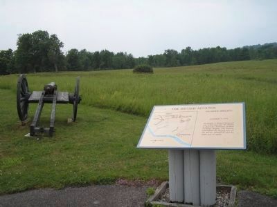
The British Advance on Bemis Heights
October 7, 1777
Erected by Saratoga National Historical Park, National Park Service.
Topics. This historical marker is listed in these topic lists: Military • Notable Events • Notable Places • War, US Revolutionary. A significant historical date for this entry is October 7, 1776.
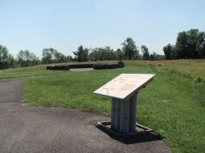
Location. Marker has been reported permanently removed. It was located near 43° 0.074′ N, 73° 38.79′ W. Marker was in Stillwater, New York, in Saratoga County. Marker was on Park Tour Road, on the left when traveling north. Marker is in Saratoga National Historical Park along the Park Tour Road. Touch for map. Marker was in this post office area: Stillwater NY 12170, United States of America.
We have been informed that this sign or monument is no longer there and will not be replaced. This page is an archival view of what was.
Other nearby markers. At least 8 other markers are within walking distance of this location. The Second Battle Begins (here, next to this marker); The British Withdraw (here, next to this marker); General Fraser Was Struck (a few steps from this marker); Colonel Joseph Cilly (a few steps from this marker); The Battle Begins at Barber’s Wheat Field (a few steps from this marker); Brig. Gen. Abraham Ten Broeck (within shouting distance of this marker); Here Frazer Fell (within shouting distance of this marker); New York and Massachusetts Forces (about 700 feet away, measured in a direct line). Touch for a list and map of all markers in Stillwater.
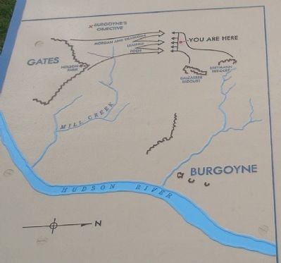
More about this marker. The left of the marker contains a battle map showing troop movements and fortifications of the October 7, 1777 battle.
Also see . . .
1. Battle of Bemis Heights, (Second Saratoga), 7 October 1777. History of War website. (Submitted on August 6, 2008, by Bill Coughlin of Woodland Park, New Jersey.)
2. Saratoga National Historical Park. National Park Service. (Submitted on August 6, 2008, by Bill Coughlin of Woodland Park, New Jersey.)
Credits. This page was last revised on November 23, 2022. It was originally submitted on August 6, 2008, by Bill Coughlin of Woodland Park, New Jersey. This page has been viewed 1,163 times since then and 23 times this year. Last updated on November 18, 2022, by Steve Stoessel of Niskayuna, New York. Photos: 1, 2. submitted on August 6, 2008, by Bill Coughlin of Woodland Park, New Jersey. 3. submitted on July 18, 2013, by Bill Coughlin of Woodland Park, New Jersey. 4, 5. submitted on August 6, 2008, by Bill Coughlin of Woodland Park, New Jersey. • Bill Pfingsten was the editor who published this page.
