Navy Yard in Southeast Washington in Washington, District of Columbia — The American Northeast (Mid-Atlantic)
William Prout: Community Builder
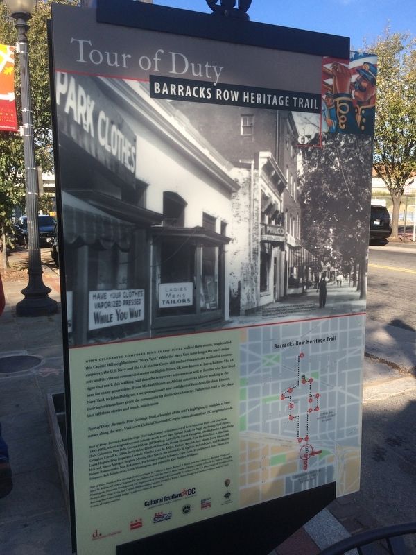
Tour of Duty
— Barracks Row Heritage Trail —
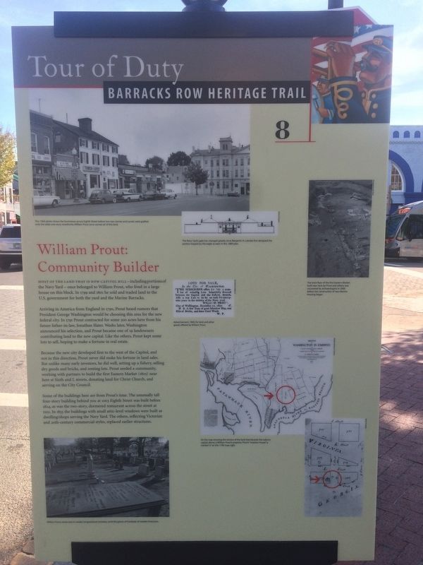
Most of the land that is now Capitol Hill—including portions of the Navy Yard – once belonged to William Prout, who lived in a large house on this block. In 1799 and 1801 he sold and traded land to the U.S. government for both the yard and the Marine Barracks.
Arriving in America from England in 1790, Prout heard rumors that President George Washington would be choosing this area for the new federal city. In 1791 Prout contracted for some 500 acres here from his future father-in-law, Jonathan Slater. Weeks later, Washington announced his selection, and Prout became one of 19 landowners contributing land to the new capital. Like the others, Prout kept some lots to sell, hoping to make a fortune in real estate.
Because the new city developed first to the west of the Capitol, and not in this direction, Prout never did make his fortune in land sales. But unlike many early investors, he did well, setting up a fishery, selling dry goods and bricks, and renting lots. Prout seeded a community, working with partners to build the first Eastern Market (1805) near here at Sixth and L streets, donating land for Christ Church, and serving on the City Council.
Some of the buildings here are from Prout’s time. The unusually tall four-story building behind you at 1003 Eighth Street was built before 1824, as was the two-story, dormered restaurant across the street at 1102. In 1833 the buildings with small attic-level windows were built as dwelling/shops serving the Navy Yard. The others, reflecting Victorian and 20th-century commercial styles, replaced earlier structures.
Erected 2004 by Cultural Tourism DC. (Marker Number 8.)
Topics and series. This historical marker is listed in these topic lists: Government & Politics • Industry & Commerce • Political Subdivisions • Settlements & Settlers. In addition, it is included in the Barracks Row Heritage Trail, and the Former U.S. Presidents: #01 George Washington series lists. A significant historical year for this entry is 1799.
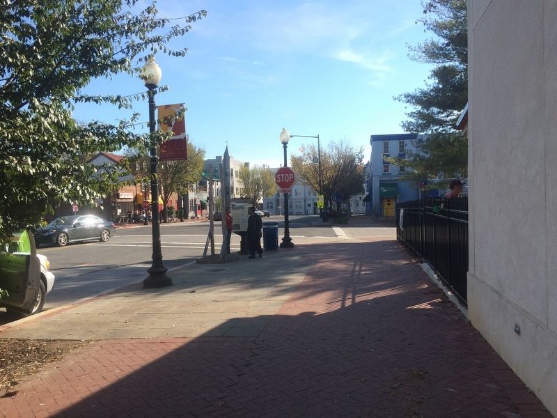
Location. 38° 52.663′ N, 76° 59.704′ W. Marker is in Southeast Washington in Washington, District of Columbia. It is in Navy Yard. Marker is at the intersection of 8th Street Southeast and L Street Southeast, on the right when traveling south on 8th Street Southeast. Touch for map. Marker is at or near this postal address: 1005 Eighth Street Southeast, Washington DC 20003, United States of America. Touch for directions.
Other nearby markers. At least 8 other markers are within walking distance of this marker. Washington Navy Yard: Serving the Fleet (about 300 feet away, measured in a direct line); Washington Navy Yard: Maker of Weapons (about 400 feet away); "The President's Own" (about 400 feet away); Marine Barracks Washington, D.C. (about 400 feet away); The Paving Stone Archaeological Site / The L'Enfant Plan (about 400 feet away); Serving as the City's Diplomatic Gateway (about 500 feet away); Strike Up the Band (about 500 feet away); Receiving Honored Servicemembers and Dignitaries (about 500 feet away). Touch for a list and map of all markers in Southeast Washington.
Additional commentary.
1. Captions from the marker
This 1966 photo shows the businesses across Eighth Street before two new stories and turrets were grafted onto the older one-story storefronts. William Prout once owned all of this land.
The Navy Yard’s gate has changed greatly since Benjamin H. Latrobe first designed the portion topped by the eagle as seen in this 1889 plan.
The brick floor of the first Eastern Market, built near here by Prout and others, was uncovered by archaeologists in 2000 before the construction of new Marine housing began.
Advertisement, 1800, for land and other goods offered by William Prout.
On the map showing the owners of the land that became the nation’s capital, above, is William
Prout’s property. Prout’s “mansion house” is marked “a” on this 1796 map, right.
William Prout’s tomb rests in nearby Congressional Cemetery amid the graves of hundreds of notable Americans.
— Submitted May 18, 2020, by Devry Becker Jones of Washington, District of Columbia.
Credits. This page was last revised on January 30, 2023. It was originally submitted on December 2, 2016, by J. Makali Bruton of Accra, Ghana. This page has been viewed 448 times since then and 36 times this year. Last updated on March 7, 2019, by Devry Becker Jones of Washington, District of Columbia. Photos: 1, 2, 3. submitted on December 2, 2016, by J. Makali Bruton of Accra, Ghana.


