Stillwater in Saratoga County, New York — The American Northeast (Mid-Atlantic)
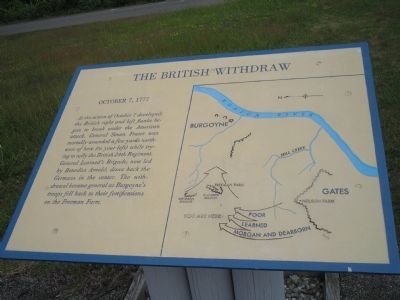
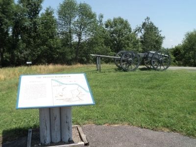
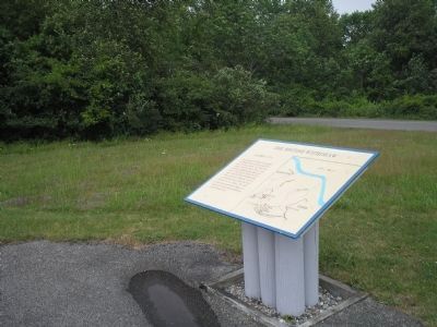
The British Withdraw
October 7, 1777
Erected by Saratoga National Historical Park, National Park Service.
Topics. This historical marker is listed in these topic lists: Military • Notable Events • Notable Places • War, US Revolutionary. A significant historical date for this entry is October 7, 1450.
Location. 43° 0.076′ N, 73° 38.786′ W. Marker is in Stillwater, New York, in Saratoga County. Marker is on Park Tour Road, on the left when traveling north. Marker is in Saratoga National Historical Park along the Park Tour Road. Touch for map. Marker is in this post office area: Stillwater NY 12170, United States of America. Touch for directions.
Other nearby markers. At least 8 other markers are within walking distance of this marker. The Second Battle Begins (a few steps from this marker); General Fraser Was Struck (a few steps from this marker); Colonel Joseph Cilly (a few steps from this marker); The Battle Begins at Barber’s Wheat Field (a few steps from this marker); Brig. Gen. Abraham Ten Broeck (within shouting distance of this marker); Here Frazer Fell (within shouting distance of this marker); New York and Massachusetts Forces (about 700 feet away, measured in a direct line); Rockefeller Memorial (approx. 0.2 miles away). Touch for a list and map of all markers in Stillwater.
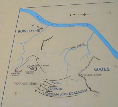
More about this marker. The right of the marker contains a map showing troop movements and fortifications during the October 7, 1777 battle.
Also see . . .
1. Battle of Bemis Heights, (Second Saratoga), 7 October 1777. History of War website. (Submitted on August 6, 2008, by Bill Coughlin of Woodland Park, New Jersey.)
2. Saratoga National Historical Park. National Park Service. (Submitted on August 6, 2008, by Bill Coughlin of Woodland Park, New Jersey.)
Credits. This page was last revised on June 16, 2016. It was originally submitted on August 6, 2008, by Bill Coughlin of Woodland Park, New Jersey. This page has been viewed 992 times since then and 24 times this year. Photos: 1. submitted on August 6, 2008, by Bill Coughlin of Woodland Park, New Jersey. 2. submitted on July 18, 2013, by Bill Coughlin of Woodland Park, New Jersey. 3, 4, 5. submitted on August 6, 2008, by Bill Coughlin of Woodland Park, New Jersey.
